
| Memorials | : | 0 |
| Location | : | Taos County, USA |
| Coordinate | : | 36.8650017, -105.6402969 |
frequently asked questions (FAQ):
-
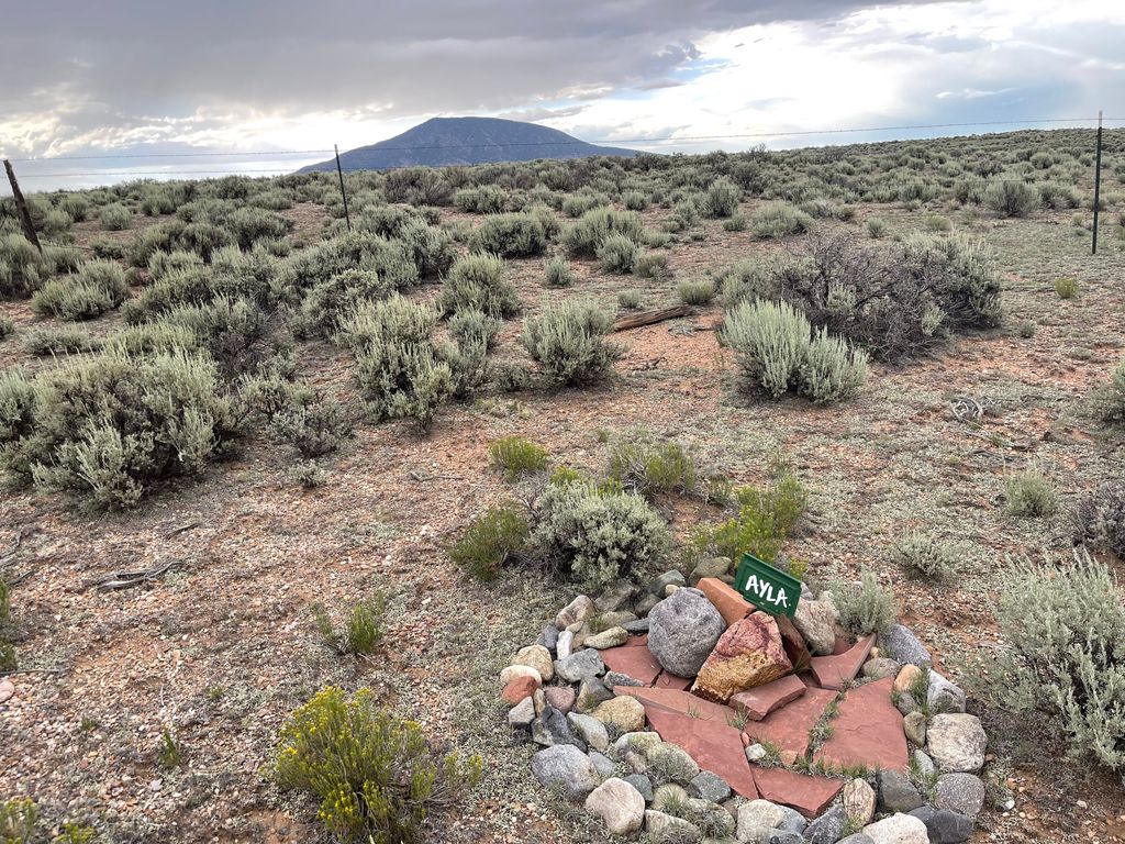
Where is Sunshine Valley Cemetery?
Sunshine Valley Cemetery is located at Taos County ,New Mexico ,USA.
-
Sunshine Valley Cemetery cemetery's updated grave count on graveviews.com?
0 memorials
-
Where are the coordinates of the Sunshine Valley Cemetery?
Latitude: 36.8650017
Longitude: -105.6402969
Nearby Cemetories:
1. Latir Cemetery
Taos County, USA
Coordinate: 36.8083000, -105.5742035
2. Cerro Protestant Cemetery
Cerro, Taos County, USA
Coordinate: 36.7565000, -105.6005000
3. Chapel of Nuestra Senora de Guadalupe Cemetery
Cerro, Taos County, USA
Coordinate: 36.7519000, -105.6079000
4. Sacred Heart Catholic Cemetery
Costilla, Taos County, USA
Coordinate: 36.9882000, -105.5402000
5. Jaroso Cemetery
Costilla County, USA
Coordinate: 37.0179400, -105.6274800
6. Garcia Presbyterian Cemetery
Garcia, Costilla County, USA
Coordinate: 37.0042000, -105.5437000
7. Saint Anthony Cemetery
Questa, Taos County, USA
Coordinate: 36.7069016, -105.5950012
8. Garcia Cemetery
Costilla County, USA
Coordinate: 37.0101360, -105.5439600
9. Garcia Pentecostal Cemetery
Garcia, Costilla County, USA
Coordinate: 37.0099470, -105.5430150
10. Eastdale Cemetery
Eastdale, Costilla County, USA
Coordinate: 37.0293420, -105.6512270
11. El Pueblito Cemetery
Questa, Taos County, USA
Coordinate: 36.7057800, -105.5794500
12. Amalia Cemetery
Amalia, Taos County, USA
Coordinate: 36.9452000, -105.4571000
13. Lama Foundation Burial Gardens
Lama, Taos County, USA
Coordinate: 36.6362000, -105.6003000
14. Dargah of Murshid Samuel Lewis
Questa, Taos County, USA
Coordinate: 36.6358000, -105.6004000
15. Red River Cemetery
Red River, Taos County, USA
Coordinate: 36.7106170, -105.4212000
16. Mesita Cemetery
Mesita, Costilla County, USA
Coordinate: 37.1038000, -105.6029000
17. Campo Santo de San Cristobal Cemetery
Taos County, USA
Coordinate: 36.5996660, -105.6346070
18. Kiowa Ranch Cemetery
San Cristobal, Taos County, USA
Coordinate: 36.5830000, -105.5945000
19. Lobatos Cemetery
Conejos County, USA
Coordinate: 37.0630989, -105.9116974
20. Rael Cemetery
Arroyo Hondo, Taos County, USA
Coordinate: 36.5400009, -105.6710968
21. Valdez Cemetery
Valdez, Taos County, USA
Coordinate: 36.5380060, -105.5844010
22. San Francisco Cemetery
Costilla County, USA
Coordinate: 37.1062000, -105.3510000
23. La Isla Cemetery
Manassa, Conejos County, USA
Coordinate: 37.0864860, -105.9555750
24. Tres Piedras Cemetery
Tres Piedras, Taos County, USA
Coordinate: 36.6505000, -105.9640000