
| Memorials | : | 0 |
| Location | : | Fallsville, Newton County, USA |
| Coordinate | : | 35.7924995, -93.4580994 |
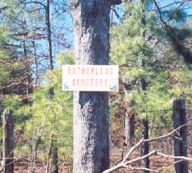
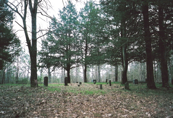
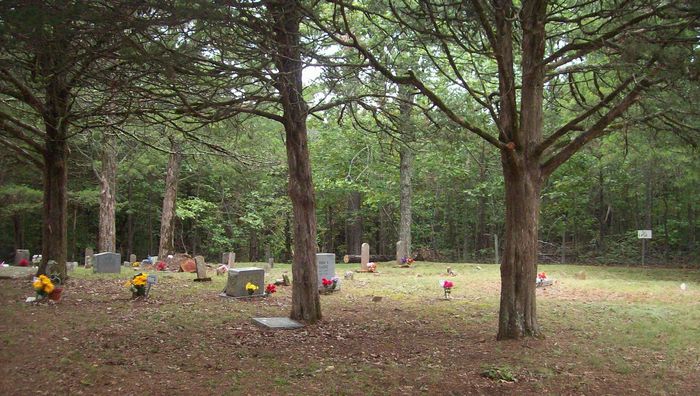
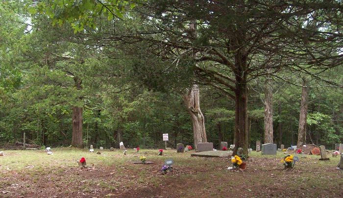
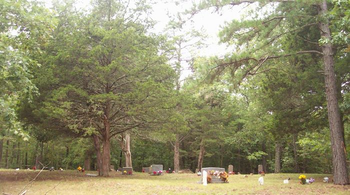
| Description | : | North side of Highway 16/21, a few hundred yards west of Forest Service Road 1463. Our annual Decoration Sunday is the second Sunday in September. Any and all family members are invited to attend and share any stories or help identify unmarked graves. We've established a cemetery board, and We've made this an "active" cemetery. Please contact President Robert Cline at [email protected] or [email protected] for any additional information or quesitons pertaining to this cemetery. If you have family buried here please get in touch with us. We would like to have more family members involved with voting for the Board of... Read More |
frequently asked questions (FAQ):
-
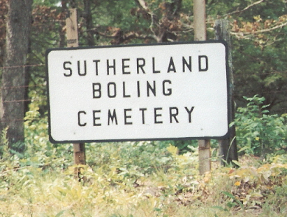
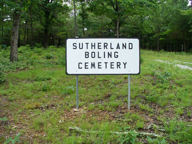
Where is Sutherland-Boling Cemetery?
Sutherland-Boling Cemetery is located at Fallsville, Newton County ,Arkansas ,USA.
-
Sutherland-Boling Cemetery cemetery's updated grave count on graveviews.com?
0 memorials
-
Where are the coordinates of the Sutherland-Boling Cemetery?
Latitude: 35.7924995
Longitude: -93.4580994
Nearby Cemetories:
1. Sherman Marshall Cemetery
Fallsville, Newton County, USA
Coordinate: 35.7994385, -93.4586792
2. Dixon-Marshall Hill Cemetery
Fallsville, Newton County, USA
Coordinate: 35.8127700, -93.4506100
3. Case Cemetery
Fallsville, Newton County, USA
Coordinate: 35.7571983, -93.4471970
4. Buckhorn Cemetery
Arbaugh, Newton County, USA
Coordinate: 35.7778015, -93.5132980
5. Radford's Freewill Cemetery
Red Star, Madison County, USA
Coordinate: 35.8171700, -93.5259900
6. Curtis Cemetery
Newton County, USA
Coordinate: 35.8417015, -93.4124985
7. Kapark Cemetery
Newton County, USA
Coordinate: 35.8594017, -93.4586029
8. Salus Cemetery
Newton County, USA
Coordinate: 35.7388992, -93.4052963
9. Hignite Cemetery
Johnson County, USA
Coordinate: 35.7219009, -93.4385986
10. Cassville Cemetery
Fallsville, Newton County, USA
Coordinate: 35.8358002, -93.3842010
11. Walnut Cemetery
Walnut, Newton County, USA
Coordinate: 35.7903530, -93.3569280
12. Patterson Springs Cemetery
Oark, Johnson County, USA
Coordinate: 35.7421310, -93.5417970
13. Pine Grove Cemetery
Pettigrew, Madison County, USA
Coordinate: 35.7818985, -93.5764008
14. Kinsel-Skinner's Gap Cemetery
Boston, Madison County, USA
Coordinate: 35.8568200, -93.5508300
15. Old Bethel Cemetery
Red Star, Madison County, USA
Coordinate: 35.8822300, -93.5247400
16. New Home Cemetery
Boston, Madison County, USA
Coordinate: 35.8421800, -93.5731500
17. Swain Cemetery
Swain, Newton County, USA
Coordinate: 35.8481300, -93.3422200
18. Cave Mountain Cemetery
Boxley, Newton County, USA
Coordinate: 35.9052310, -93.4553150
19. Catalpa Cemetery
Catalpa, Johnson County, USA
Coordinate: 35.6902847, -93.5248489
20. Rosetta Cemetery
Rosetta, Johnson County, USA
Coordinate: 35.7111015, -93.3544006
21. Mossville Cemetery
Mossville, Newton County, USA
Coordinate: 35.8950000, -93.3836000
22. Muddy Gap Cemetery
Madison County, USA
Coordinate: 35.8050200, -93.6042100
23. Carpenter Cemetery
Madison County, USA
Coordinate: 35.8925018, -93.5485992
24. Boston Cemetery
Pettigrew, Madison County, USA
Coordinate: 35.8289400, -93.6071900