| Memorials | : | 0 |
| Location | : | Svino, Vordingborg Kommune, Denmark |
| Coordinate | : | 55.1087440, 11.7535440 |
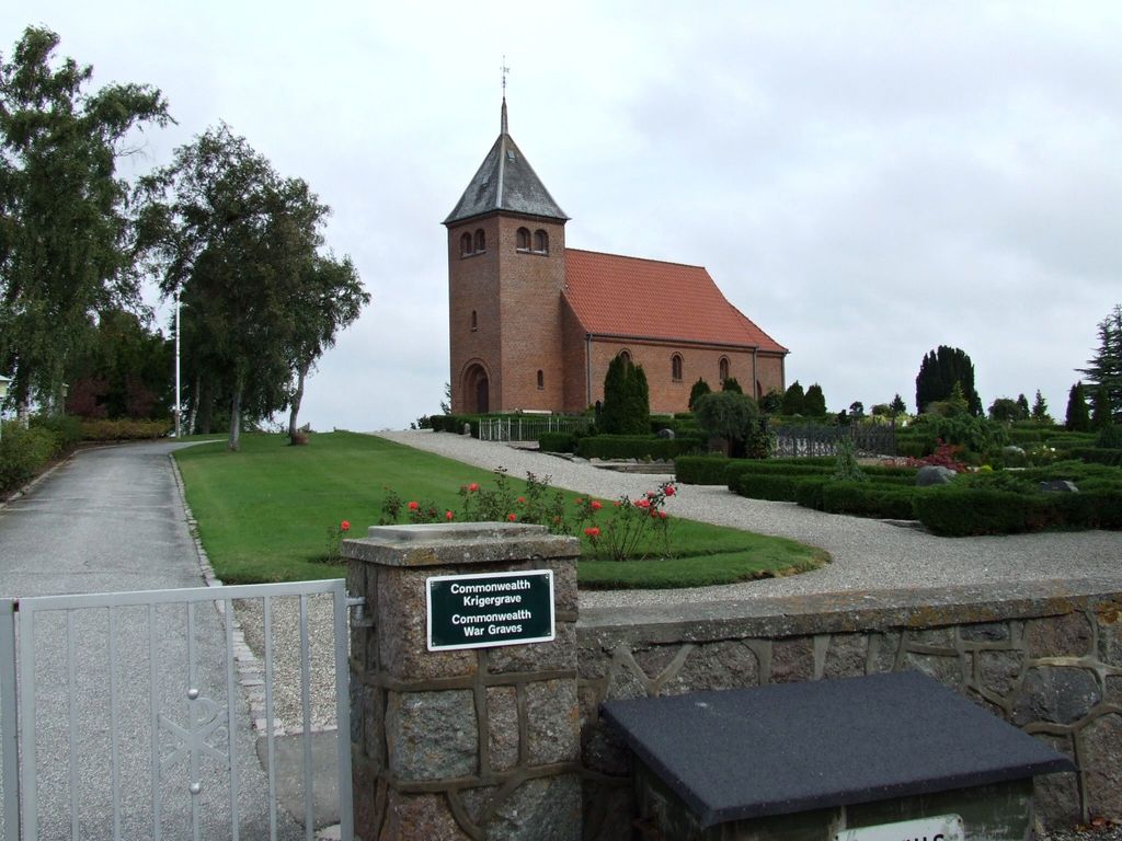
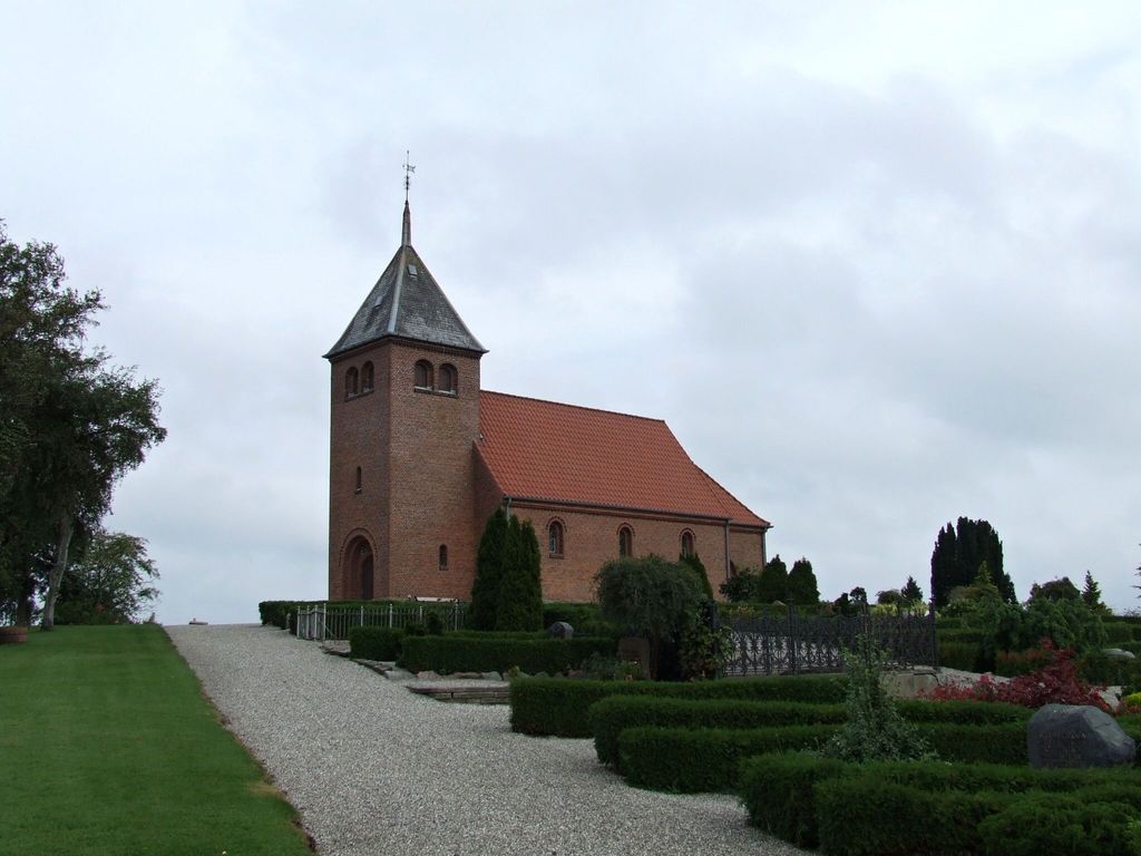
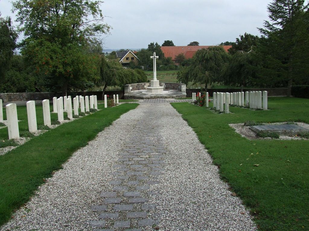
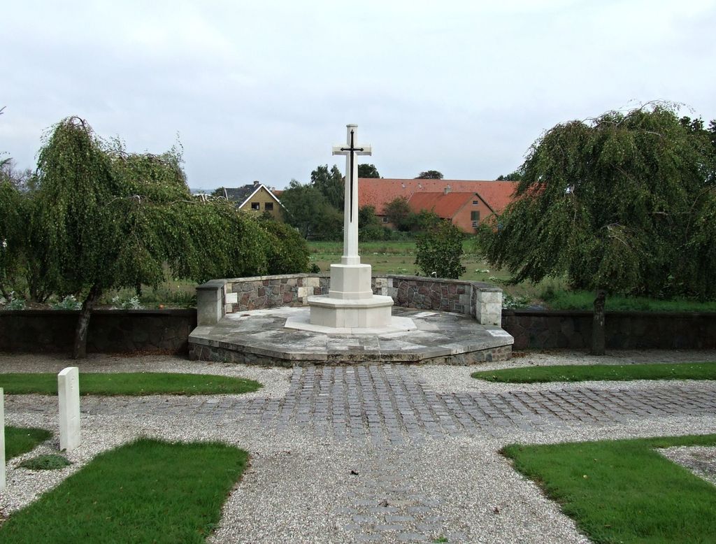
| Description | : | Svino Churchyard is connected to Svinø Kirke, and contains a Commonwealth plot, to the north of the church. They are 62 burials Commonwealth, all airmen from World War II, and eight of them unidentified. On the south and east sides of the church are the parishioner plots. |
frequently asked questions (FAQ):
-
Where is Svino Churchyard?
Svino Churchyard is located at Svinø Kirkevej 9 Svino, Vordingborg Kommune ,Sjælland , 4750Denmark.
-
Svino Churchyard cemetery's updated grave count on graveviews.com?
0 memorials
-
Where are the coordinates of the Svino Churchyard?
Latitude: 55.1087440
Longitude: 11.7535440
Nearby Cemetories:
1. Hammer Kirke
Naestved, Næstved Kommune, Denmark
Coordinate: 55.1454222, 11.8716044
2. Beldringe Churchyard
Praesto, Vordingborg Kommune, Denmark
Coordinate: 55.1066900, 11.9968500
3. Præstø Kirkegård
Praesto, Vordingborg Kommune, Denmark
Coordinate: 55.1233328, 12.0482835
4. Brarup Cemetery
Barup, Guldborgsund Kommune, Denmark
Coordinate: 54.8824460, 11.8072460
5. Bogø Graveyard
Bogo By, Vordingborg Kommune, Denmark
Coordinate: 54.9321090, 12.0482920
6. Moltke Burial Chapel in Karise Church
Karise, Faxe Kommune, Denmark
Coordinate: 55.2453413, 12.1140072
7. Faxe Church Cemetery
Faxe Kommune, Denmark
Coordinate: 55.2552000, 12.1202000
8. Hylleholt Cemetery
Fakse Ladeplads, Faxe Kommune, Denmark
Coordinate: 55.2168200, 12.1642300
9. Freerslev kirkegård
Haslev, Faxe Kommune, Denmark
Coordinate: 55.3253860, 12.0159610
10. Vester Broby
Vester Broby, Sorø Kommune, Denmark
Coordinate: 55.3801921, 11.6205596
11. Tårs Church Cemetery
Sakskøbing, Guldborgsund Kommune, Denmark
Coordinate: 54.8307992, 11.6394398
12. Falkerslev Cemetery
Falkerslev, Guldborgsund Kommune, Denmark
Coordinate: 54.8361740, 11.9999790
13. Store Spjellerup Cemetery
Store Spjellerup, Faxe Kommune, Denmark
Coordinate: 55.2734340, 12.2254910
14. Sakskøbing Cemetery
Sakskøbing, Guldborgsund Kommune, Denmark
Coordinate: 54.7991677, 11.6295786
15. Fjenneslev Churchyard
Ringsted, Ringsted Kommune, Denmark
Coordinate: 55.4336160, 11.6888520
16. Stege Kirkegård
Stege, Vordingborg Kommune, Denmark
Coordinate: 54.9886630, 12.2894830
17. Sankt Bendts Kirke
Ringsted, Ringsted Kommune, Denmark
Coordinate: 55.4454530, 11.7869580
18. Hunseby Kirke
Hunseby, Lolland Kommune, Denmark
Coordinate: 54.7983330, 11.5147220
19. Sorø klosterkirke
Sorø, Sorø Kommune, Denmark
Coordinate: 55.4301000, 11.5565000
20. Østre Kirkegård
Nykobing Falster, Guldborgsund Kommune, Denmark
Coordinate: 54.7589220, 11.8754610
21. Pedersborg Cemetery
Pedersborg, Sorø Kommune, Denmark
Coordinate: 55.4515580, 11.5555670
22. Horslunde Kirkegård
Horslunde, Lolland Kommune, Denmark
Coordinate: 54.9083330, 11.2163890
23. Sankt Mikkels Kirkegård
Slagelse, Slagelse Kommune, Denmark
Coordinate: 55.4051510, 11.3631370
24. Herfølge Kirkegård
Herfolge, Køge Kommune, Denmark
Coordinate: 55.4173880, 12.1485338


