
| Memorials | : | 0 |
| Location | : | Ila, Madison County, USA |
| Coordinate | : | 34.2231200, -83.2628600 |
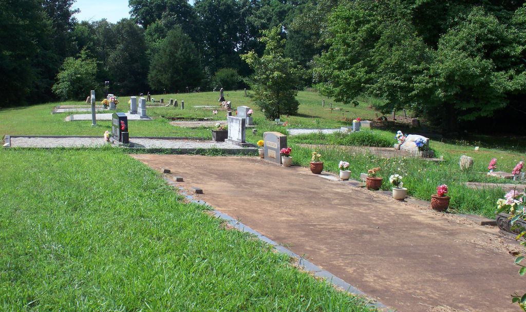
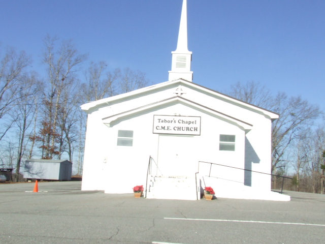
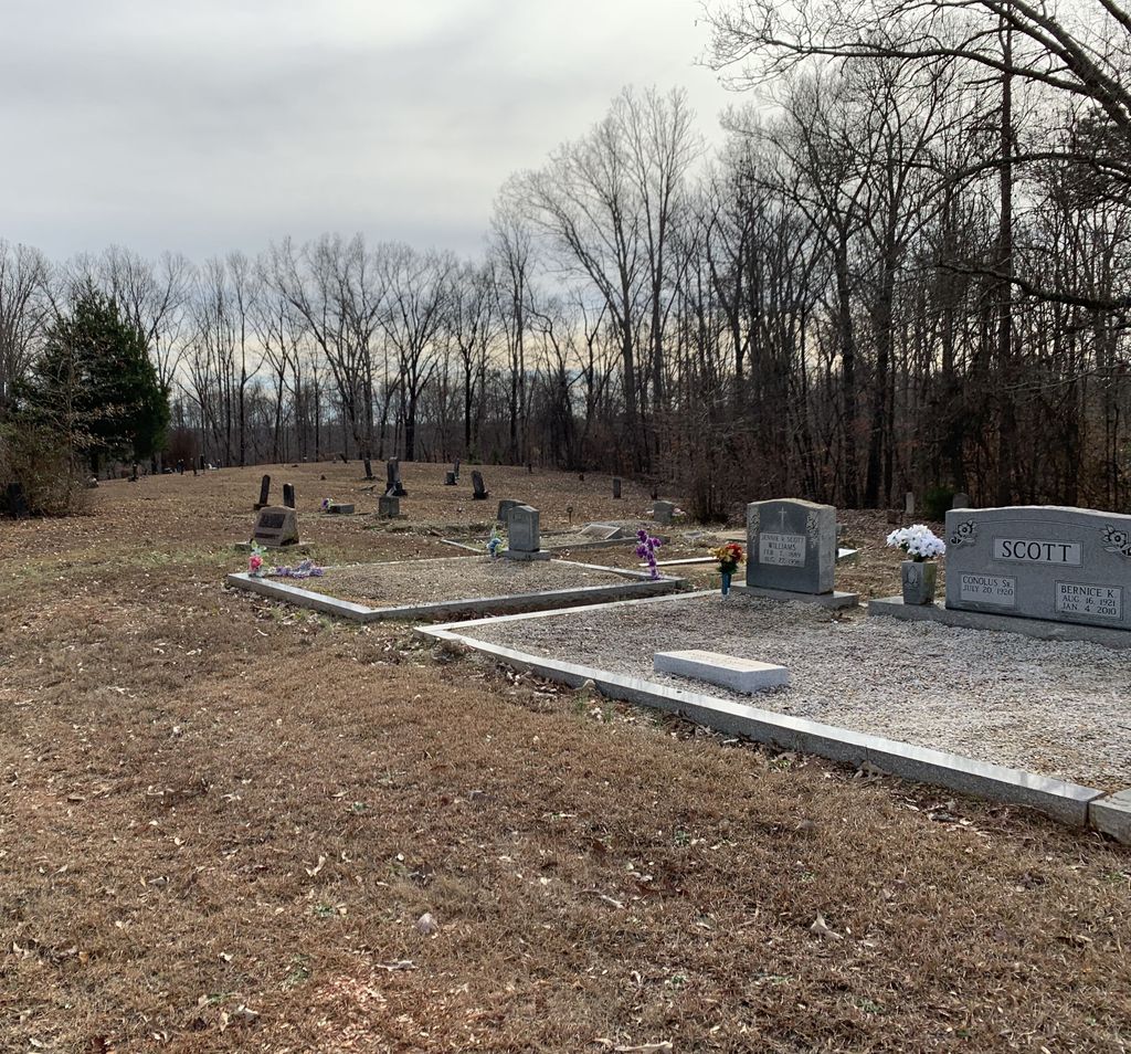
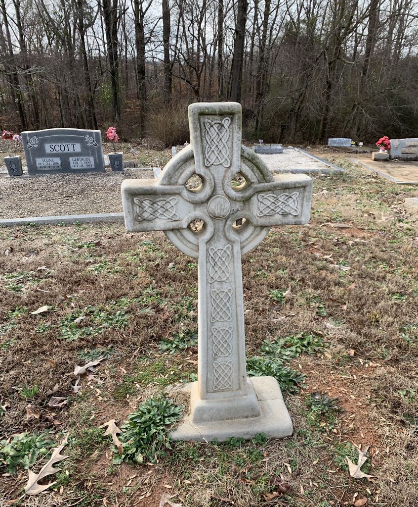
| Description | : | This cemetery is located next to Tabor's Chapel Christian Methodist Episcopal Church at the intersection of State Road 106 and Tabor's Chapel Road in Ila, Madison County, Georgia. |
frequently asked questions (FAQ):
-
Where is Tabor's Chapel CME Church Cemetery?
Tabor's Chapel CME Church Cemetery is located at Ila, Madison County ,Georgia ,USA.
-
Tabor's Chapel CME Church Cemetery cemetery's updated grave count on graveviews.com?
0 memorials
-
Where are the coordinates of the Tabor's Chapel CME Church Cemetery?
Latitude: 34.2231200
Longitude: -83.2628600
Nearby Cemetories:
1. Community Baptist Church Cemetery
Madison County, USA
Coordinate: 34.2033750, -83.2521720
2. Providence Baptist Church Cemetery
Madison County, USA
Coordinate: 34.2099800, -83.2853320
3. Liberty Church Cemetery
Ila, Madison County, USA
Coordinate: 34.2456690, -83.2726490
4. Hill Cemetery
Madison County, USA
Coordinate: 34.2083015, -83.2388992
5. Shiloh Baptist Church Cemetery #1
Shiloh, Madison County, USA
Coordinate: 34.2173309, -83.2276535
6. Danielsville Evangelical Church Cemetery
Danielsville, Madison County, USA
Coordinate: 34.2200600, -83.2269100
7. McEwen Family Cemetery
Danielsville, Madison County, USA
Coordinate: 34.2331240, -83.2251100
8. Kennedy Family Cemetery
Danielsville, Madison County, USA
Coordinate: 34.2095390, -83.3076080
9. Anchor Church of Ila Cemetery
Ila, Madison County, USA
Coordinate: 34.2115230, -83.3152700
10. Culbertson Cemetery
Danielsville, Madison County, USA
Coordinate: 34.1971720, -83.3121790
11. Cleghorne Cemetery
Danielsville, Madison County, USA
Coordinate: 34.1941120, -83.3102120
12. Gordon Non Denomination
Franklin County, USA
Coordinate: 34.2716770, -83.2726670
13. New Haven Holiness Church Cemetery
Danielsville, Madison County, USA
Coordinate: 34.1779900, -83.2344380
14. Chandler Cemetery #6
Ila, Madison County, USA
Coordinate: 34.1716995, -83.2667007
15. Buckey James Cemetery
Royston, Franklin County, USA
Coordinate: 34.2612720, -83.2192170
16. Melvin Hill Christian Methodist Episcopal Church
Carnesville, Franklin County, USA
Coordinate: 34.2699030, -83.2947440
17. Mount Hermon Presbyterian Church Cemetery
Ila, Madison County, USA
Coordinate: 34.1742300, -83.2961600
18. Haggard Family Cemetery
Danielsville, Madison County, USA
Coordinate: 34.2068800, -83.3282260
19. Wesley Chapel Community Church Cemetery
Alvin, Madison County, USA
Coordinate: 34.1975340, -83.3247760
20. Trinity United Methodist Church Cemetery
Franklin County, USA
Coordinate: 34.2803280, -83.2662940
21. Jones Chapel Methodist Church Cemetery
Madison County, USA
Coordinate: 34.1978480, -83.1996750
22. Lighthouse Tabernacle Church Cemetery
Ila, Madison County, USA
Coordinate: 34.1712200, -83.2974200
23. Mount Zion Baptist Church Cemetery
Fort Lamar, Madison County, USA
Coordinate: 34.2025740, -83.3336160
24. Macedonia Independent Holiness Church Cemetery
Comer, Madison County, USA
Coordinate: 34.1736180, -83.2169780