
| Memorials | : | 0 |
| Location | : | Cottonwood Point, Pemiscot County, USA |
| Coordinate | : | 36.0847015, -89.6860962 |
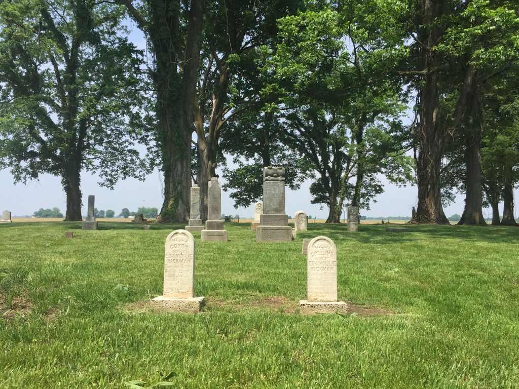
| Description | : | Taylor Cemetery is located in historical Cottonwood Point, Pemiscot County, Missouri. It contains some of the early pioneers of Pemiscot County and Cottonwood Point with the first known burial in 1858. It is located on County Road 553 which runs along the levee and the Mississippi River. If you use Google maps, it can be easily located by searching for "Taylor Cemetery Cottonwood Point". All three of the different roads you can use to access Taylor Cemetery are gravel and during periods of heavy rain or snow, some of these roads can become bad. Fortunately this is rare and the... Read More |
frequently asked questions (FAQ):
-
Where is Taylor Cemetery?
Taylor Cemetery is located at Cottonwood Point, Pemiscot County ,Missouri ,USA.
-
Taylor Cemetery cemetery's updated grave count on graveviews.com?
0 memorials
-
Where are the coordinates of the Taylor Cemetery?
Latitude: 36.0847015
Longitude: -89.6860962
Nearby Cemetories:
1. Hickman Cemetery
Pemiscot County, USA
Coordinate: 36.0889015, -89.7042007
2. Viar Walker
Finley, Dyer County, USA
Coordinate: 36.0740520, -89.6459700
3. Rutherford Cemetery
Heloise, Dyer County, USA
Coordinate: 36.0586900, -89.6575400
4. Huffman Cemetery
Pemiscot County, USA
Coordinate: 36.1514015, -89.7018967
5. Morgan Ridge Cemetery
Caruthersville, Pemiscot County, USA
Coordinate: 36.1716995, -89.6660995
6. Maple Cemetery
Caruthersville, Pemiscot County, USA
Coordinate: 36.1741982, -89.6656036
7. Little Prairie Cemetery
Caruthersville, Pemiscot County, USA
Coordinate: 36.1747017, -89.6680984
8. Rice Cemetery
Caruthersville, Pemiscot County, USA
Coordinate: 36.1755981, -89.6511002
9. Magnolia Cemetery
Caruthersville, Pemiscot County, USA
Coordinate: 36.1758003, -89.6517029
10. Mount Zion Cemetery
Steele, Pemiscot County, USA
Coordinate: 36.0738983, -89.8106003
11. Pemiscot Memorial Gardens
Caruthersville, Pemiscot County, USA
Coordinate: 36.1750000, -89.7494000
12. Patterson Cemetery
Pemiscot County, USA
Coordinate: 36.1883011, -89.7200012
13. Eastwood Memorial Methodist Church
Caruthersville, Pemiscot County, USA
Coordinate: 36.1904100, -89.6563300
14. Saint Peter Catholic Cemetery
Armorel, Mississippi County, USA
Coordinate: 35.9808321, -89.7341180
15. Holly Cemetery
Steele, Pemiscot County, USA
Coordinate: 36.0807991, -89.8233032
16. Morning Star Cemetery
Pemiscot County, USA
Coordinate: 36.0851100, -89.8249700
17. Mitchell #8 Cemetery
Cooter, Pemiscot County, USA
Coordinate: 36.0238350, -89.8161510
18. Bluegrass Cemetery
Finley, Dyer County, USA
Coordinate: 35.9593940, -89.6586120
19. Cagle Cemetery
Pemiscot County, USA
Coordinate: 36.1478004, -89.8261032
20. Frakes Cemetery
Pemiscot County, USA
Coordinate: 36.1007996, -89.8469009
21. Hopkins Cemetery
Pemiscot County, USA
Coordinate: 36.1161003, -89.8439026
22. Pullam Cemetery
Pemiscot County, USA
Coordinate: 36.1557999, -89.8236008
23. Darnell Cemetery
Pemiscot County, USA
Coordinate: 36.1747017, -89.8116989
24. Culp Cemetery
Braggadocio, Pemiscot County, USA
Coordinate: 36.1779900, -89.8099500