| Memorials | : | 0 |
| Location | : | Neversink, Sullivan County, USA |
| Coordinate | : | 41.8420100, -74.6062200 |
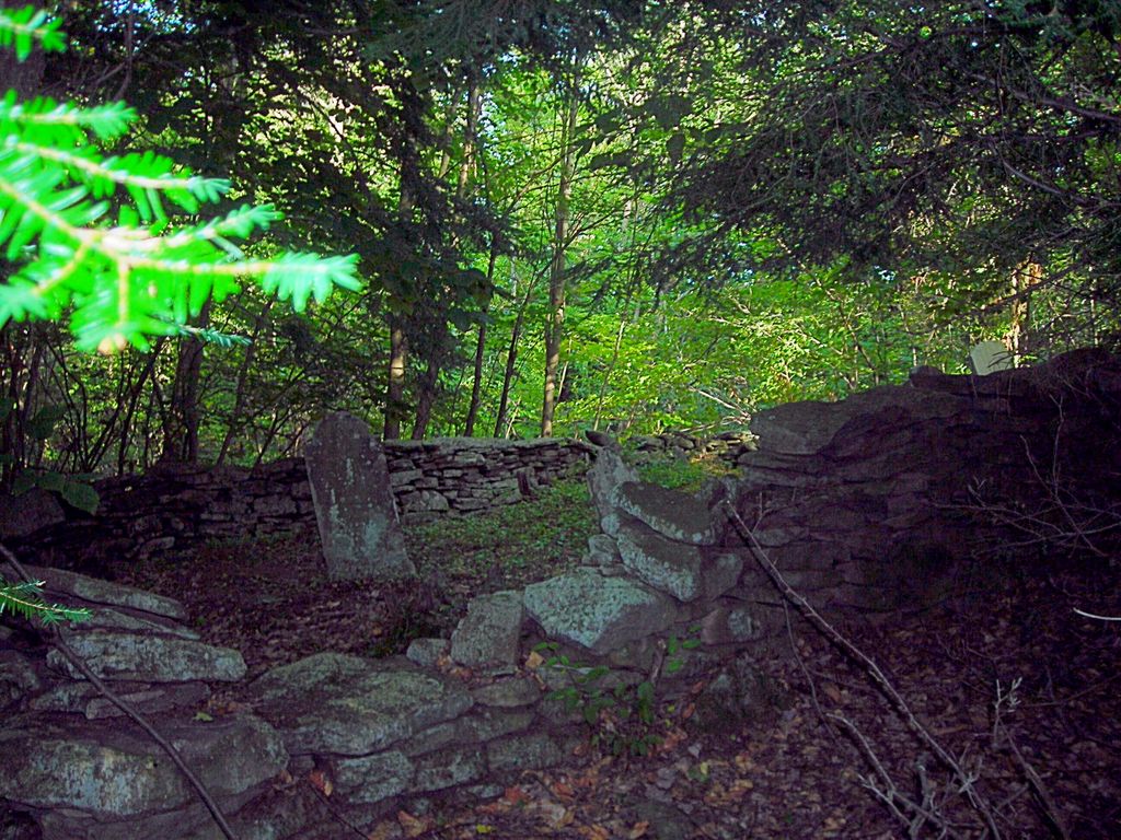
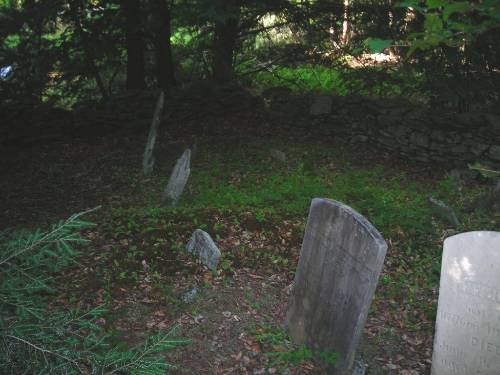
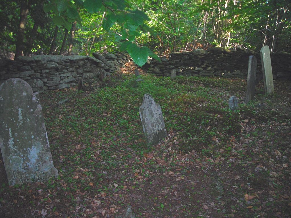
| Description | : | This cemetery has historically been Edwards Cemetery on Mutton Hill Road. The Teller plot is within its boundaries. |
frequently asked questions (FAQ):
-
Where is Teller Family Plot?
Teller Family Plot is located at Mutton Hill Road Neversink, Sullivan County ,New York , 12765USA.
-
Teller Family Plot cemetery's updated grave count on graveviews.com?
0 memorials
-
Where are the coordinates of the Teller Family Plot?
Latitude: 41.8420100
Longitude: -74.6062200
Nearby Cemetories:
1. Benton Cemetery
Neversink, Sullivan County, USA
Coordinate: 41.8352130, -74.6067300
2. Mutton Hill Cemetery
Neversink, Sullivan County, USA
Coordinate: 41.8367160, -74.6199560
3. Davenport Cemetery
Neversink, Sullivan County, USA
Coordinate: 41.8558100, -74.5948800
4. Van Tran Cemetery
Neversink, Sullivan County, USA
Coordinate: 41.8138800, -74.5819600
5. Fallsburg Neversink Cemetery
Neversink, Sullivan County, USA
Coordinate: 41.8113400, -74.6353800
6. Grahamsville Rural Cemetery
Grahamsville, Sullivan County, USA
Coordinate: 41.8471985, -74.5381012
7. Hodge Cemetery
Neversink, Sullivan County, USA
Coordinate: 41.8439300, -74.6768500
8. Misner Burying Ground
Woodbourne, Sullivan County, USA
Coordinate: 41.7766360, -74.6022990
9. Claryville Reformed Church Cemetery
Claryville, Sullivan County, USA
Coordinate: 41.9160600, -74.5722500
10. Hillside Cemetery
Woodbourne, Sullivan County, USA
Coordinate: 41.7630300, -74.5991900
11. Woodbourne Cemetery
Woodbourne, Sullivan County, USA
Coordinate: 41.7625200, -74.6003500
12. Woodbourne Reformed Cemetery
Woodbourne, Sullivan County, USA
Coordinate: 41.7624300, -74.5994800
13. Sullivan County Veterans Cemetery
Liberty, Sullivan County, USA
Coordinate: 41.7920400, -74.7107100
14. Ahavath Israel Cemetery
Liberty, Sullivan County, USA
Coordinate: 41.7828200, -74.7018600
15. Chesed Shel Emes Cemetery
Liberty, Sullivan County, USA
Coordinate: 41.7816630, -74.7008770
16. Red Hill Cemetery
Denning, Ulster County, USA
Coordinate: 41.9164300, -74.5126800
17. Liberty Cemetery – Veterans Section
Liberty, Sullivan County, USA
Coordinate: 41.8002730, -74.7397330
18. Liberty Cemetery
Liberty, Sullivan County, USA
Coordinate: 41.7993900, -74.7401800
19. Saint Peter's Cemetery
Liberty, Sullivan County, USA
Coordinate: 41.7991600, -74.7405600
20. Ferndale Synagogue Cemetery
Parksville, Sullivan County, USA
Coordinate: 41.8626830, -74.7498450
21. Parksville Synagogue Cemetery
Parksville, Sullivan County, USA
Coordinate: 41.8626790, -74.7503250
22. Old Liberty Cemetery
Liberty, Sullivan County, USA
Coordinate: 41.7979780, -74.7406680
23. Brown Settlement Cemetery
Rockland, Sullivan County, USA
Coordinate: 41.9287800, -74.6995900
24. Old Parksville Cemetery
Parksville, Sullivan County, USA
Coordinate: 41.8517600, -74.7576300


