
| Memorials | : | 0 |
| Location | : | Dunajska Streda, okres Dunajská Streda, Slovakia |
| Website | : | iajgscemetery.org/eastern-europe/czech-republic/dunajska-streda-dunajska-streda |
| Coordinate | : | 48.0045846, 17.6124665 |
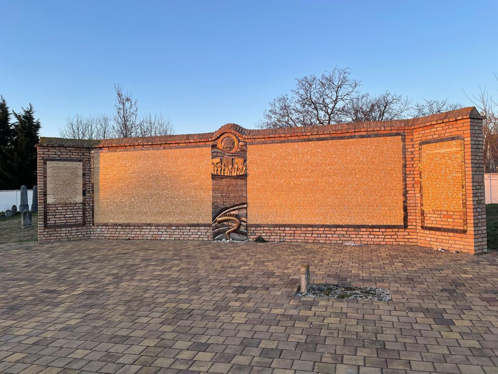
| Description | : | Current size of the cemetery is 100x300 meters. It contains 500-5000 marble, granite, and sandstone 18th-20th century tombstones are in original locations. The cemetery is divided into a special section for rabbis. The flat shaped stones, finely smoothed and inscribed stones, double tombstones, and multi-stone monuments have Hebrew and Hungarian inscriptions. The cemetery contains special memorial monuments for Holocaust victims. Within the limits of the cemetery is a pre-burial house with wall inscriptions, tombs, and gravediggers house. The Cemetery's property is owned by the local Jewish community. Last known Jewish burial was in 1990. Inscriptions in Hebrew on the gate... Read More |
frequently asked questions (FAQ):
-
Where is The Cemetery of the Jewish Community?
The Cemetery of the Jewish Community is located at Gyulu Szabóa 1807, Dunajská Streda, Slovakia Dunajska Streda, okres Dunajská Streda ,Trnavský , 929 01Slovakia.
-
The Cemetery of the Jewish Community cemetery's updated grave count on graveviews.com?
0 memorials
-
Where are the coordinates of the The Cemetery of the Jewish Community?
Latitude: 48.0045846
Longitude: 17.6124665
Nearby Cemetories:
1. Hlavný cintorín Veľké Úľany
Velke Ulany, okres Galanta, Slovakia
Coordinate: 48.1642238, 17.5717412
2. Starý Cintorín
Matuskovo, okres Galanta, Slovakia
Coordinate: 48.1668500, 17.7389330
3. Mliecno Jewish Cemetery
Mliecno, okres Dunajská Streda, Slovakia
Coordinate: 48.0181200, 17.3206000
4. Jewish Cemetery Galanta
Galanta, okres Galanta, Slovakia
Coordinate: 48.1911400, 17.7406700
5. Veca Jewish Cemetery
Veca, okres Šaľa, Slovakia
Coordinate: 48.1650843, 17.8876315
6. Móvár-temető
Mosonmagyaróvár, Mosonmagyaróvári járás, Hungary
Coordinate: 47.8957905, 17.2703421
7. Katolícky starý cintorín Senec
Senec, okres Senec, Slovakia
Coordinate: 48.2188272, 17.3926192
8. Szűz Mária Királynő és Szent Gotthárd te
Mosonmagyaróvár, Mosonmagyaróvári járás, Hungary
Coordinate: 47.8772130, 17.2711160
9. Jewish cemetery
Mosonmagyaróvár, Mosonmagyaróvári járás, Hungary
Coordinate: 47.8640560, 17.2794720
10. Óvári köztemetö , és Régi temetö
Mosonmagyaróvár, Mosonmagyaróvári járás, Hungary
Coordinate: 47.8764280, 17.2672570
11. Mosoni temeto
Mosonmagyaróvár, Mosonmagyaróvári járás, Hungary
Coordinate: 47.8576100, 17.2818500
12. Cintorin Most pri Bratislave
Most pri Bratislave, okres Senec, Slovakia
Coordinate: 48.1409314, 17.2644246
13. Cintorin Velky Biel
Velky Biel, okres Senec, Slovakia
Coordinate: 48.2190380, 17.3589170
14. Cintorín Čunovo
Cunovo, Bratislava V, Slovakia
Coordinate: 48.0326417, 17.1989283
15. Sered Jewish Cemetery
Sered, okres Galanta, Slovakia
Coordinate: 48.2788330, 17.7389180
16. Blatné
Bratislava, Bratislava I, Slovakia
Coordinate: 48.2651122, 17.4252844
17. Cintorín Podunajské Biskupice
Podunajske Biskupice, Bratislava II, Slovakia
Coordinate: 48.1222520, 17.2076200
18. Cintorín Stará Vrakuňa
Vrakuna, Bratislava II, Slovakia
Coordinate: 48.1396100, 17.2065630
19. Nemecky vojensky cintorin Bratislava
Vrakuna, Bratislava II, Slovakia
Coordinate: 48.1457760, 17.1936140
20. Cintorin Vrakuna
Bratislava, Bratislava I, Slovakia
Coordinate: 48.1439850, 17.1906180
21. Jewish Cemetery of Gyor
Győr, Győri járás, Hungary
Coordinate: 47.6896744, 17.6126499
22. Cathedral of the Assumption of the Blessed Virgin
Győr, Győri járás, Hungary
Coordinate: 47.6889760, 17.6313925
23. Cintorin Rusovce
Rusovce, Bratislava V, Slovakia
Coordinate: 48.0523270, 17.1441155
24. Cintorín Prievoz
Bratislava, Bratislava I, Slovakia
Coordinate: 48.1469300, 17.1665500