
| Memorials | : | 0 |
| Location | : | Carrollton, Carroll County, USA |
| Coordinate | : | 33.6100800, -85.1580800 |
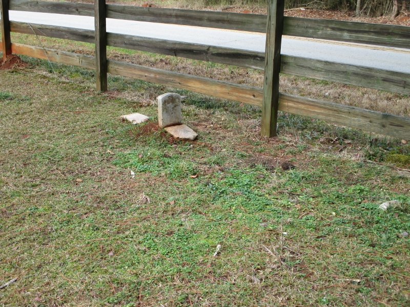
| Description | : | From Carrollton take Highway 16 West toward Mount Zion to Beaver Pond Road. The cemetery is about 100 feet west of this intersection on the south side of Mount Zion Road and three feet outside of the road right-of-way. Only one marker found. |
frequently asked questions (FAQ):
-
Where is Tillery Cemetery?
Tillery Cemetery is located at Carrollton, Carroll County ,Georgia ,USA.
-
Tillery Cemetery cemetery's updated grave count on graveviews.com?
0 memorials
-
Where are the coordinates of the Tillery Cemetery?
Latitude: 33.6100800
Longitude: -85.1580800
Nearby Cemetories:
1. Eureka Baptist Church Cemetery
Carroll County, USA
Coordinate: 33.5942001, -85.1680984
2. New Hope Methodist Church Cemetery
Carroll County, USA
Coordinate: 33.5970700, -85.1402000
3. Camp Creek Cemetery
Carroll County, USA
Coordinate: 33.5853004, -85.1647034
4. Bethel Campground Methodist Church Cemetery
Carrollton, Carroll County, USA
Coordinate: 33.5951040, -85.1854130
5. Beall Cemetery
Carroll County, USA
Coordinate: 33.6061800, -85.1229000
6. Pinetucky Cemetery
Carroll County, USA
Coordinate: 33.5918999, -85.1896973
7. Mount Zion United Methodist Cemetery
Mount Zion, Carroll County, USA
Coordinate: 33.6355700, -85.1865800
8. Linity Methodist Church Cemetery
Bowdon Junction, Carroll County, USA
Coordinate: 33.6446620, -85.1632690
9. Holmes Cemetery
Mount Zion, Carroll County, USA
Coordinate: 33.6112090, -85.2017780
10. Smyrna United Methodist Church Cemetery
Carrollton, Carroll County, USA
Coordinate: 33.6319230, -85.1201950
11. Boyles Family Cemetery
Carrollton, Carroll County, USA
Coordinate: 33.5742600, -85.1800490
12. Pleasant View Baptist Church Cemetery
Carrollton, Carroll County, USA
Coordinate: 33.6449500, -85.1288500
13. Beulah Baptist Church Cemetery
Carrollton, Carroll County, USA
Coordinate: 33.6011009, -85.1018982
14. Bethlehem Newlife Church Cemetery
Bowdon Junction, Carroll County, USA
Coordinate: 33.6589012, -85.1455994
15. Smith Chapel Cemetery
Carroll County, USA
Coordinate: 33.6006012, -85.2193985
16. Shiloh United Methodist Church Cemetery
Carroll County, USA
Coordinate: 33.5752983, -85.2043991
17. Bonner-Roberts Cemetery
Jonesville, Carroll County, USA
Coordinate: 33.5602070, -85.1775490
18. Creel-Matthews Family Cemetery
Carrollton, Carroll County, USA
Coordinate: 33.6072900, -85.0926300
19. Entrekin Cemetery
Mount Zion, Carroll County, USA
Coordinate: 33.6572770, -85.1941200
20. Old Camp United Methodist Church Cemetery
Carroll County, USA
Coordinate: 33.5569000, -85.1342010
21. Mincey Cemetery
Mount Zion, Carroll County, USA
Coordinate: 33.6556380, -85.2048750
22. Antioch Baptist Church Cemetery
Carrollton, Carroll County, USA
Coordinate: 33.5616989, -85.2007980
23. McBurnett Cemetery
Mount Zion, Carroll County, USA
Coordinate: 33.6506720, -85.2124070
24. Merrell Cemetery
Carrollton, Carroll County, USA
Coordinate: 33.6063900, -85.0814400