
| Memorials | : | 2 |
| Location | : | Yount, Perry County, USA |
| Coordinate | : | 37.6015330, -90.1330800 |
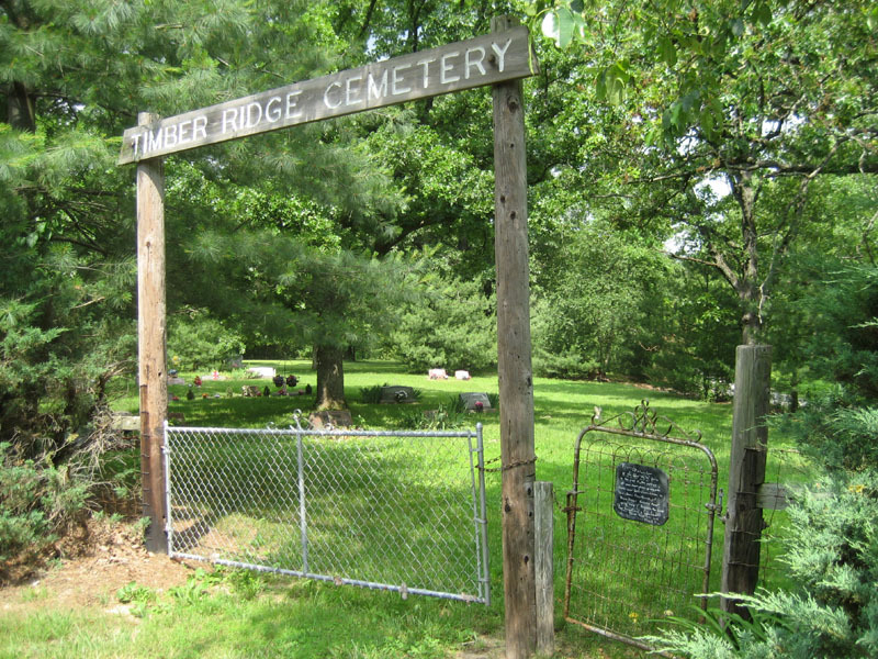
| Description | : | Timber Ridge Cemetery is associated with The Timber Ridge Church of Jesus Christ which is located near the cemetery on Highway J. It was known as "Mission Cemetery" in 1957. The physical address of the church is: 10375 Hwy. J, Perryville, Mo. 63775 |
frequently asked questions (FAQ):
-
Where is Timber Ridge Cemetery?
Timber Ridge Cemetery is located at Yount, Perry County ,Missouri ,USA.
-
Timber Ridge Cemetery cemetery's updated grave count on graveviews.com?
2 memorials
-
Where are the coordinates of the Timber Ridge Cemetery?
Latitude: 37.6015330
Longitude: -90.1330800
Nearby Cemetories:
1. Higdon Christian Cemetery
Higdon, Madison County, USA
Coordinate: 37.5924000, -90.1681000
2. Pine Hill Cemetery
Patton, Bollinger County, USA
Coordinate: 37.5753100, -90.1093800
3. Mount Gilead Methodist Episcopal Cemetery
Higdon, Madison County, USA
Coordinate: 37.5992000, -90.1766000
4. McMurtrey Farm Cemetery
Madison County, USA
Coordinate: 37.5598296, -90.1557253
5. Hahn's Cemetery
Castor Township, Madison County, USA
Coordinate: 37.5585910, -90.1559020
6. Whitewater Christian Cemetery
Perryville, Perry County, USA
Coordinate: 37.6304817, -90.0860901
7. Skaggs Farm Cemetery
Madison County, USA
Coordinate: 37.5712662, -90.1807065
8. Underwood Cemetery
Fredericktown, Madison County, USA
Coordinate: 37.5564003, -90.1766968
9. Yount Community Cemetery
Yount, Perry County, USA
Coordinate: 37.6062500, -90.0396800
10. McClanahan Cemetery
Madison County, USA
Coordinate: 37.5304700, -90.1713900
11. Beyond the Open Door Cemetery
Fredericktown, Madison County, USA
Coordinate: 37.5462100, -90.2110800
12. McDowell-Lenz Cemetery
St. Francois County, USA
Coordinate: 37.6810989, -90.1671982
13. Ballard Cemetery
Womack, St. Francois County, USA
Coordinate: 37.6729170, -90.2127780
14. Reagan's Chapel Cemetery
Patton, Bollinger County, USA
Coordinate: 37.5502530, -90.0307100
15. Peterman-Dees Cemetery
Madison County, USA
Coordinate: 37.5454100, -90.2314900
16. Walker Memorial Cemetery
Fredericktown, Madison County, USA
Coordinate: 37.5638000, -90.2455000
17. Cross Roads Cemetery
Farmington, St. Francois County, USA
Coordinate: 37.6623000, -90.2331000
18. Stevens Cemetery
Cobalt Village, Madison County, USA
Coordinate: 37.5546989, -90.2514038
19. Pleasant Hill Cemetery
Bollinger County, USA
Coordinate: 37.5172005, -90.0449982
20. Union Light Cemetery
Loyd, Bollinger County, USA
Coordinate: 37.4956131, -90.0978851
21. Barron-Gordon Cemetery
Libertyville, St. Francois County, USA
Coordinate: 37.6665200, -90.2455300
22. Johnson Cemetery
Alliance, Bollinger County, USA
Coordinate: 37.5705986, -89.9991989
23. Alliance Cemetery
Bollinger County, USA
Coordinate: 37.5631400, -89.9974900
24. Shrum Cemetery
Bollinger County, USA
Coordinate: 37.5863991, -89.9871979