
| Memorials | : | 0 |
| Location | : | Albert County, Canada |
| Coordinate | : | 45.7239240, -64.7388350 |
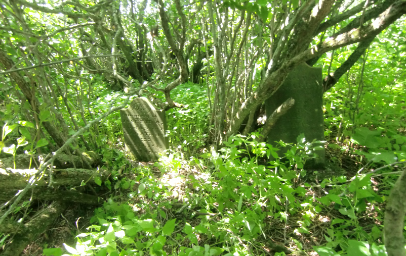
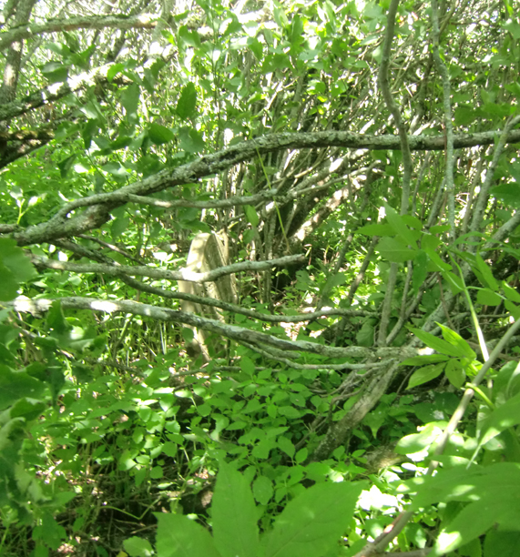
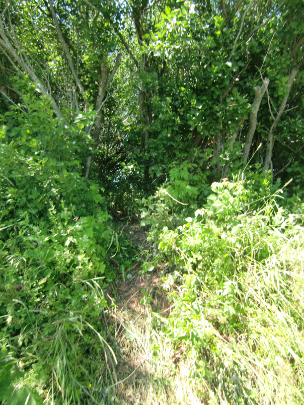
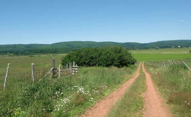
| Description | : | From the intersection of Route 915 and Midway Road (AKA Derrys Corner), proceed about 1.2km down Midway Road, just past house #1029. A road leads off to the right (North), into the fields. The cemetery is about 160m down this road, in the clump of trees on the left side of this road. NOTE: This must have been a family farm, because these are the only known graves. |
frequently asked questions (FAQ):
-
Where is Tingley Cemetery?
Tingley Cemetery is located at 1015 Midway Road Albert County ,New Brunswick ,Canada.
-
Tingley Cemetery cemetery's updated grave count on graveviews.com?
0 memorials
-
Where are the coordinates of the Tingley Cemetery?
Latitude: 45.7239240
Longitude: -64.7388350
Nearby Cemetories:
1. Riverside Catholic Cemetery
Riverside-Albert, Albert County, Canada
Coordinate: 45.7569330, -64.7213170
2. Ha Ha Cemetery
New Horton, Albert County, Canada
Coordinate: 45.6924200, -64.7067700
3. West Family Cemetery
Harvey, Albert County, Canada
Coordinate: 45.7301021, -64.6752128
4. Old Germantown Baptist Church Cemetery
Riverside-Albert, Albert County, Canada
Coordinate: 45.6983500, -64.7922833
5. Holy Ghost Catholic Cemetery
Hopewell Hill, Albert County, Canada
Coordinate: 45.7646660, -64.6968830
6. Hopewell Hill Cemetery
Hopewell Hill, Albert County, Canada
Coordinate: 45.7646604, -64.6968028
7. Shepody Cemetery
Hopewell, Albert County, Canada
Coordinate: 45.7694750, -64.6650670
8. Waterside United Baptist Church Cemetery
Waterside, Albert County, Canada
Coordinate: 45.6295420, -64.8054090
9. St Agatha's Catholic Cemetery
New Ireland, Albert County, Canada
Coordinate: 45.7252390, -64.9027850
10. Lower Cape Mountain View Cemetery
Lower Cape, Albert County, Canada
Coordinate: 45.8119170, -64.6035330
11. Curryville Cemetery
Curryville, Albert County, Canada
Coordinate: 45.8376500, -64.6331700
12. Rockport Cemetery
Rockport, Westmorland County, Canada
Coordinate: 45.7245483, -64.5087738
13. Albert Mines Cemetery
Albert Mines, Albert County, Canada
Coordinate: 45.8774500, -64.6681700
14. Shulee Cemetery
Shulie, Cumberland County, Canada
Coordinate: 45.6005200, -64.5720700
15. Baltimore United Baptist Cemetery
Baltimore, Albert County, Canada
Coordinate: 45.8873760, -64.8075810
16. Old Rockport Cemetery
Rockport, Westmorland County, Canada
Coordinate: 45.7386100, -64.4947100
17. Alma United Cemetery
Alma, Albert County, Canada
Coordinate: 45.6095300, -64.9360200
18. Prosser Brook Cemetery
Prosser Brook, Albert County, Canada
Coordinate: 45.8390330, -64.9545500
19. Steeves Cemetery
Hillsborough, Albert County, Canada
Coordinate: 45.9154500, -64.7024700
20. Beaumont Cemetery
Beaumont, Westmorland County, Canada
Coordinate: 45.8890900, -64.5870400
21. Ebenezer Cole Farm Cemetery
Dorchester Cape, Westmorland County, Canada
Coordinate: 45.8683422, -64.5415418
22. Dorchester Cape Cemetery
Dorchester, Westmorland County, Canada
Coordinate: 45.8727000, -64.5326000
23. Hillside United Baptist Church Cemetery
Hillside, Albert County, Canada
Coordinate: 45.7839460, -65.0236000
24. Hardscrabble Cemetery
Joggins, Cumberland County, Canada
Coordinate: 45.6919440, -64.4430560