| Memorials | : | 0 |
| Location | : | Jefferson City, Cole County, USA |
| Coordinate | : | 38.6347200, -92.2752800 |
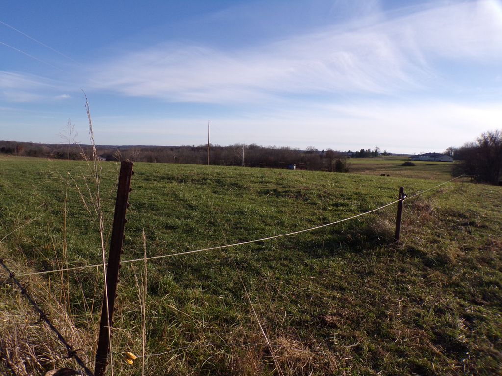
| Description | : | It is located on Boonville Road five miles west of Jefferson City, Mo. It is on south side of road. All of the stones have fallen down. Township 45 North Range 12 West and Section 19.It was originally located on this farm which was owned by Julius Brauner and then owned by Scott's. It is abandoned. These graves were copied Oct 17, 1936 by DAR. ---------- Jim McHenry's GPS location is given as 38.63472, -92.27528. I find his information to be off by a bit (somewhat northwest of the true location), but this should put you very close to the... Read More |
frequently asked questions (FAQ):
-
Where is Tranbarger Burial Ground?
Tranbarger Burial Ground is located at Jefferson City, Cole County ,Missouri ,USA.
-
Tranbarger Burial Ground cemetery's updated grave count on graveviews.com?
0 memorials
-
Where are the coordinates of the Tranbarger Burial Ground?
Latitude: 38.6347200
Longitude: -92.2752800
Nearby Cemetories:
1. Gale Cemetery
Marion, Cole County, USA
Coordinate: 38.6332400, -92.2563100
2. Kleindits Cemetery
Jefferson Township, Cole County, USA
Coordinate: 38.6240390, -92.2917600
3. Smith Cemetery
Cole County, USA
Coordinate: 38.6189003, -92.2444000
4. Buckner-Crandall Cemetery
Saint Thomas, Cole County, USA
Coordinate: 38.6190338, -92.2441177
5. Squire Walser Gravesite
Elston, Cole County, USA
Coordinate: 38.6050700, -92.3081600
6. Elston Cemetery
Elston, Cole County, USA
Coordinate: 38.6134491, -92.3227310
7. Longview Cemetery
Jefferson City, Cole County, USA
Coordinate: 38.5946999, -92.2536011
8. Steeley Cemetery
Moniteau County, USA
Coordinate: 38.6530991, -92.3281021
9. Steeley Cemetery
Elston, Cole County, USA
Coordinate: 38.6530883, -92.3282420
10. Cole County Poor Farm Cemetery
Elston, Cole County, USA
Coordinate: 38.6141810, -92.3287310
11. Elias Chambers Burial Ground
Elston, Cole County, USA
Coordinate: 38.6320600, -92.3362300
12. Dixon Family Cemetery
Apache Flats, Cole County, USA
Coordinate: 38.5879300, -92.2904400
13. Hawthorn Memorial Gardens
Jefferson City, Cole County, USA
Coordinate: 38.5842018, -92.2677994
14. Resurrection Cemetery and Mausoleum
Jefferson City, Cole County, USA
Coordinate: 38.5938988, -92.2331009
15. Wyatt-Dix Farm Cemetery
Jefferson City, Cole County, USA
Coordinate: 38.5912400, -92.2364600
16. Mount Pleasant Cemetery
Hartsburg, Boone County, USA
Coordinate: 38.6903000, -92.2577972
17. Cantrell Cemetery
Holts Summit, Callaway County, USA
Coordinate: 38.6608300, -92.2083400
18. Riverview Cemetery
Jefferson City, Cole County, USA
Coordinate: 38.5957298, -92.2188339
19. New Saint Martin Catholic Cemetery
Saint Martins, Cole County, USA
Coordinate: 38.6032900, -92.3415420
20. Old Saint Martins Catholic Cemetery
Saint Martins, Cole County, USA
Coordinate: 38.5952620, -92.3356720
21. Knife Cemetery
Marion, Cole County, USA
Coordinate: 38.6681200, -92.3417300
22. Bryant Cemetery
Callaway County, USA
Coordinate: 38.6765500, -92.2143000
23. Coonce Cemetery
Callaway County, USA
Coordinate: 38.6572200, -92.1953400
24. Friedens Cemetery
Hartsburg, Boone County, USA
Coordinate: 38.6986000, -92.3087000

