
| Memorials | : | 13 |
| Location | : | Lothair, Liberty County, USA |
| Coordinate | : | 48.7263000, -111.2296000 |
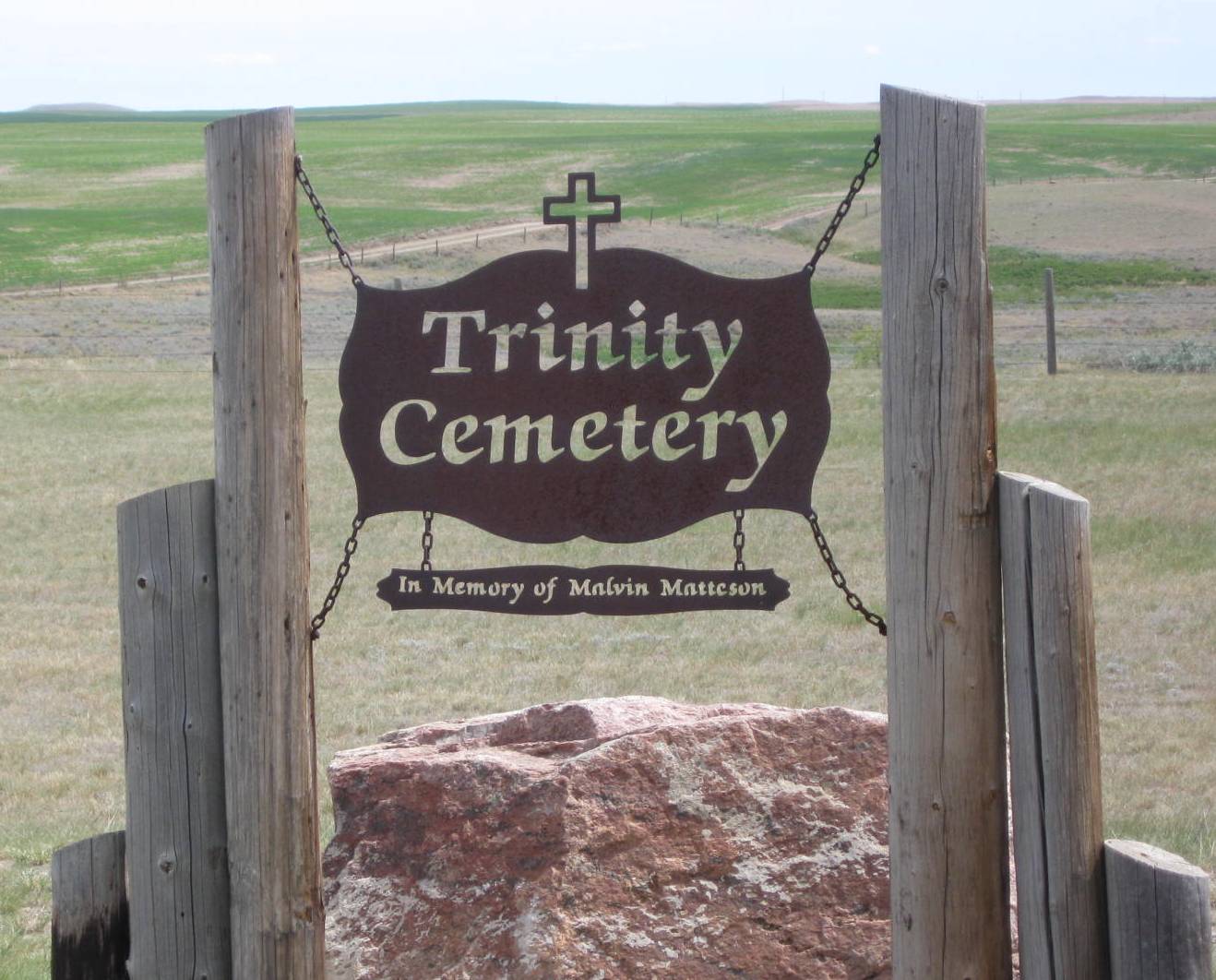
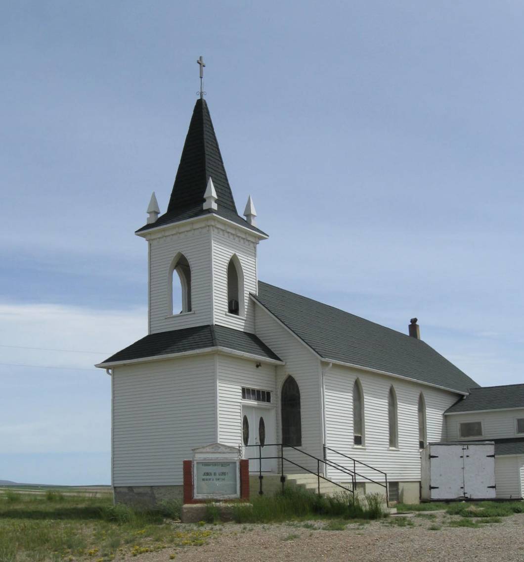
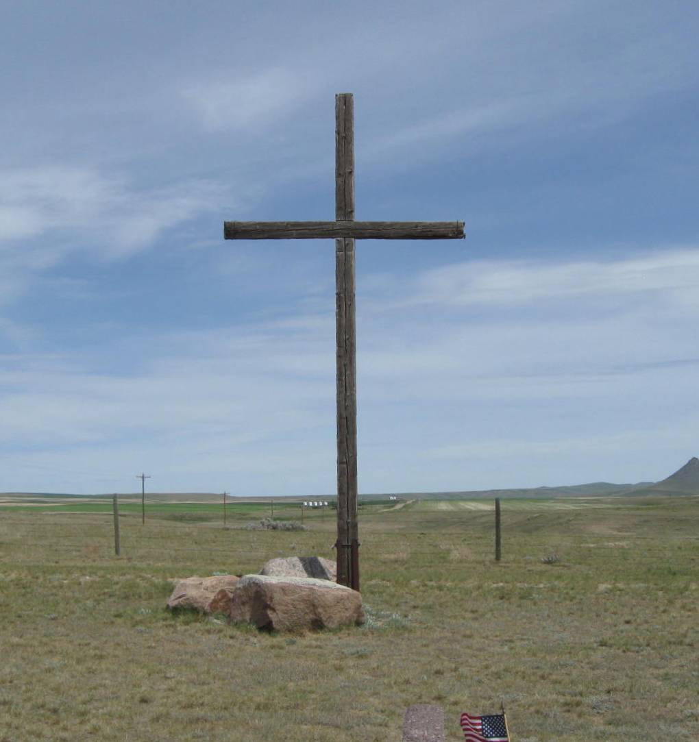
| Description | : | Turn north off of Highway 2 on Lothair Road at the community of Lothair. Trinity Church is 18 miles north of Lothair on this road. The cemetery is 1/2 mile north of the Church on Lothair Road. |
frequently asked questions (FAQ):
-
Where is Trinity Church Cemetery?
Trinity Church Cemetery is located at Lothair, Liberty County ,Montana ,USA.
-
Trinity Church Cemetery cemetery's updated grave count on graveviews.com?
13 memorials
-
Where are the coordinates of the Trinity Church Cemetery?
Latitude: 48.7263000
Longitude: -111.2296000
Nearby Cemetories:
1. Eagle Creek Colony Cemetery
Chester, Liberty County, USA
Coordinate: 48.6976000, -111.2011000
2. Grandview Cemetery
Toole County, USA
Coordinate: 48.7265000, -111.3615000
3. Old Indian Cemetery
Liberty County, USA
Coordinate: 48.8680992, -111.2585983
4. Whitlash Cemetery
Liberty County, USA
Coordinate: 48.9085999, -111.2699966
5. Gold Butte Cemetery
Toole County, USA
Coordinate: 48.8793983, -111.3966980
6. Lothair Protestant Cemetery
Lothair, Liberty County, USA
Coordinate: 48.4694000, -111.2393100
7. Lothair Catholic Cemetery
Lothair, Liberty County, USA
Coordinate: 48.4687000, -111.2484000
8. Sage Creek Colony Cemetery
Sage Creek Colony, Liberty County, USA
Coordinate: 48.9271000, -110.9735000
9. Chester Cemetery
Chester, Liberty County, USA
Coordinate: 48.5219002, -110.9807968
10. Galata Cemetery
Toole County, USA
Coordinate: 48.4655991, -111.3349991
11. Devon Cemetery
Toole County, USA
Coordinate: 48.4693000, -111.4713000
12. Sunnyside Cemetery
Aden, Medicine Hat Census Division, Canada
Coordinate: 49.0286300, -111.3240800
13. Joplin Cemetery
Joplin, Liberty County, USA
Coordinate: 48.5576720, -110.7622930
14. Nutter Ranch Cemetery
Sunburst, Toole County, USA
Coordinate: 48.9668200, -111.6365320
15. Dunkirk Cemetery
Dunkirk, Toole County, USA
Coordinate: 48.4797810, -111.6761860
16. Bethel Cemetery
Hill County, USA
Coordinate: 48.6685982, -110.6406021
17. Inverness Cemetery
Hill County, USA
Coordinate: 48.5531340, -110.6688450
18. Grace Church Cemetery
Rudyard, Hill County, USA
Coordinate: 48.8269930, -110.6209890
19. Cool Spring Colony Cemetery
Rudyard, Hill County, USA
Coordinate: 48.7704000, -110.5860000
20. Erickson Cemetery
Liberty County, USA
Coordinate: 48.3143997, -110.9503021
21. Sunburst Cemetery
Sunburst, Toole County, USA
Coordinate: 48.8847800, -111.8743800
22. Omholt Cemetery
Toole County, USA
Coordinate: 48.3058014, -111.5346985
23. Mountain View Cemetery
Shelby, Toole County, USA
Coordinate: 48.5032200, -111.8675800
24. Valley View Cemetery
Shelby, Toole County, USA
Coordinate: 48.5190000, -111.8863000