| Memorials | : | 1 |
| Location | : | Vallonia, Jackson County, USA |
| Coordinate | : | 38.8128800, -86.1024800 |
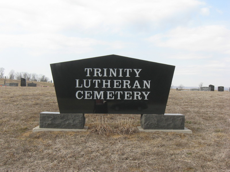
| Description | : | The cemetery is located in Driftwood Township at the intersection of Indiana State Highway 135 and W County Road 450 S. Both the Cemetery and Burial Grounds Registry of the Indiana Department of Natural Resources and Indiana Cemetery Locations, Volume 4, list the cemetery under two separate listings. The Old Trinity Lutheran Cemetery is on the southeast corner of the intersection. The New Trinity Lutheran Cemetery is on the west side of Indiana State Highway 134 at its intersection with W County Road 450 S. The map coordinates of (38.81288, -86.10248) are for the New Trinity Lutheran... Read More |
frequently asked questions (FAQ):
-
Where is Trinity Lutheran Cemetery?
Trinity Lutheran Cemetery is located at Indiana State Highway 135 and W County Road 450 S Vallonia, Jackson County ,Indiana , 47281USA.
-
Trinity Lutheran Cemetery cemetery's updated grave count on graveviews.com?
1 memorials
-
Where are the coordinates of the Trinity Lutheran Cemetery?
Latitude: 38.8128800
Longitude: -86.1024800
Nearby Cemetories:
1. Grisamore Cemetery
Vallonia, Jackson County, USA
Coordinate: 38.7979870, -86.1022780
2. Driftwood Christian Church Cemetery
Vallonia, Jackson County, USA
Coordinate: 38.7980150, -86.1011520
3. Old Holmes Cemetery
Vallonia, Jackson County, USA
Coordinate: 38.8084000, -86.1291000
4. Smith Cemetery
Jackson County, USA
Coordinate: 38.8379400, -86.0995200
5. Dowden Cemetery
Jackson County, USA
Coordinate: 38.7868890, -86.1032470
6. Vallonia Cemetery
Vallonia, Jackson County, USA
Coordinate: 38.8417750, -86.0960620
7. Peters Cemetery
Jackson County, USA
Coordinate: 38.8443985, -86.0792007
8. Harrell Cemetery
Vallonia, Jackson County, USA
Coordinate: 38.7749680, -86.1374850
9. Empson Cemetery
Jackson County, USA
Coordinate: 38.7738991, -86.1378021
10. Weathers Cemetery
Jackson County, USA
Coordinate: 38.8580650, -86.0791680
11. Miller Cemetery
Jackson County, USA
Coordinate: 38.8622017, -86.0894012
12. Heighton Hill Cemetery
Medora, Jackson County, USA
Coordinate: 38.8539009, -86.1519012
13. Beem Heighten Hill Cemetery
Medora, Jackson County, USA
Coordinate: 38.8546982, -86.1511002
14. Burrell Cemetery
Brownstown, Jackson County, USA
Coordinate: 38.8625090, -86.0656180
15. Goss Cemetery
Medora, Jackson County, USA
Coordinate: 38.8541985, -86.1536026
16. Zollman Cemetery
Medora, Jackson County, USA
Coordinate: 38.8546982, -86.1530991
17. White River Valley Cemetery
Medora, Jackson County, USA
Coordinate: 38.8543500, -86.1550000
18. Saint Pauls Cemetery
Wegan, Jackson County, USA
Coordinate: 38.8279580, -86.0289570
19. Holmes Cemetery
Medora, Jackson County, USA
Coordinate: 38.8325005, -86.1763992
20. Lanning Spur Cemetery
Medora, Jackson County, USA
Coordinate: 38.8236008, -86.1808014
21. Lopp Cemetery
Brownstown, Jackson County, USA
Coordinate: 38.8237110, -86.0230890
22. Tuell Cemetery
Tampico, Jackson County, USA
Coordinate: 38.7820280, -86.0267280
23. Crane Cemetery
Brownstown, Jackson County, USA
Coordinate: 38.8793280, -86.1131780
24. Saint Pauls Lutheran Cemetery
Wegan, Jackson County, USA
Coordinate: 38.8237000, -86.0162000


