
| Memorials | : | 0 |
| Location | : | Tunbridge, Southern Midlands Council, Australia |
| Coordinate | : | -42.1421880, 147.4190330 |
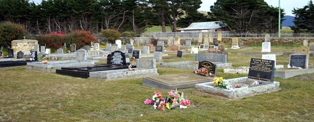
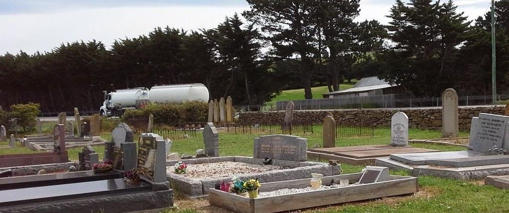
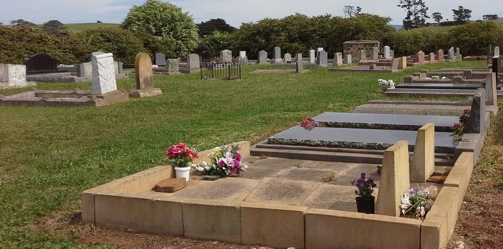
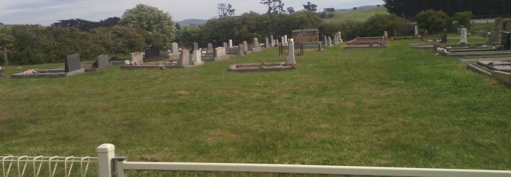
| Description | : | Though this cemetery was initially linked to the St. Oswald’s Anglican Church, it is now recognised simply as the Tunbridge Anglican due to its physical distance from the Church (which is now privately owned). |
frequently asked questions (FAQ):
-
Where is Tunbridge Anglican Cemetery?
Tunbridge Anglican Cemetery is located at Lowes Street Tunbridge, Southern Midlands Council ,Tasmania , 7120Australia.
-
Tunbridge Anglican Cemetery cemetery's updated grave count on graveviews.com?
0 memorials
-
Where are the coordinates of the Tunbridge Anglican Cemetery?
Latitude: -42.1421880
Longitude: 147.4190330
Nearby Cemetories:
1. Tunbridge Wesleyan Methodist
Tunbridge, Southern Midlands Council, Australia
Coordinate: -42.1380003, 147.4264363
2. Ross Anglican Cemetery
Ross, Northern Midlands Council, Australia
Coordinate: -42.0328790, 147.4971740
3. Ross Roman Catholic Cemetery
Ross, Northern Midlands Council, Australia
Coordinate: -42.0328390, 147.4972810
4. Old Ross Burial Ground
Ross, Northern Midlands Council, Australia
Coordinate: -42.0331300, 147.4981100
5. Ross Methodist Uniting Cemetery
Ross, Northern Midlands Council, Australia
Coordinate: -42.0306630, 147.5011000
6. St John's Columbarium
Ross, Northern Midlands Council, Australia
Coordinate: -42.0270530, 147.4932990
7. St. John's Anglican Church Cemetery
Ross, Northern Midlands Council, Australia
Coordinate: -42.0290630, 147.5014900
8. Oatlands Catholic Church Cemetery
Oatlands, Southern Midlands Council, Australia
Coordinate: -42.2975030, 147.3721970
9. St. Peter's Church of England Cemetery
Oatlands, Southern Midlands Council, Australia
Coordinate: -42.2971080, 147.3692140
10. Oatlands Wesleyan Cemetery
Oatlands, Southern Midlands Council, Australia
Coordinate: -42.3030090, 147.3697930
11. Oatlands General Cemetery
Oatlands, Southern Midlands Council, Australia
Coordinate: -42.3091980, 147.3748150
12. Oatlands Uniting Church Cemetery
Oatlands, Southern Midlands Council, Australia
Coordinate: -42.3109880, 147.3679270
13. Campbell Town Catholic Cemetery
Campbell Town, Northern Midlands Council, Australia
Coordinate: -41.9394500, 147.4935380
14. Campbell Town Methodist Cemetery
Campbell Town, Northern Midlands Council, Australia
Coordinate: -41.9389650, 147.4916960
15. St. Michael's Catholic Church Cemetery
Campbell Town, Northern Midlands Council, Australia
Coordinate: -41.9308080, 147.4950310
16. Old Anglican Cemetery
Campbell Town, Northern Midlands Council, Australia
Coordinate: -41.9250710, 147.4867270
17. St Lukes Churchyard
Campbell Town, Northern Midlands Council, Australia
Coordinate: -41.9259491, 147.4947556
18. Campbell Town Meadowbank Presbyterian & Uniting Cemetery
Campbell Town, Northern Midlands Council, Australia
Coordinate: -41.9125220, 147.4784740
19. Streanshalh Farm Cemetery
Campbell Town, Northern Midlands Council, Australia
Coordinate: -41.8997370, 147.3399660
20. Kirklands Presbyterian Cemetery
Campbell Town, Northern Midlands Council, Australia
Coordinate: -41.8888920, 147.3928790
21. St. James' Church of England Cemetery
Jericho, Southern Midlands Council, Australia
Coordinate: -42.3791420, 147.2902790
22. St John the Evangelist Anglican Cemetery
Lower Marshes, Southern Midlands Council, Australia
Coordinate: -42.3464730, 147.2088010
23. Conara Anglican Church and Cemetery
Conara, Northern Midlands Council, Australia
Coordinate: -41.8296675, 147.4359855
24. Dennistoun Private Cemetery
Bothwell, Central Highlands Council, Australia
Coordinate: -42.3330001, 147.0670013