
| Memorials | : | 0 |
| Location | : | Marrowbone, Cumberland County, USA |
| Coordinate | : | 36.7833631, -85.5479132 |
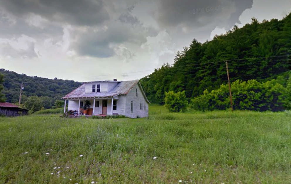
| Description | : | This is not a typical cemetery. These are burials near a farmhouse on what was the Turner family farm. The markers have been moved from their original location to protect them from work in the field. Three markers are located at the base of a telephone pole close to their original location. This location is separate from another Turner farm plot within .3 miles. |
frequently asked questions (FAQ):
-
Where is Turner-Dyer Farm Cemetery?
Turner-Dyer Farm Cemetery is located at Marrowbone, Cumberland County ,Kentucky ,USA.
-
Turner-Dyer Farm Cemetery cemetery's updated grave count on graveviews.com?
0 memorials
-
Where are the coordinates of the Turner-Dyer Farm Cemetery?
Latitude: 36.7833631
Longitude: -85.5479132
Nearby Cemetories:
1. Hickory Ridge Cemetery
Tompkinsville, Monroe County, USA
Coordinate: 36.7639140, -85.5549330
2. Mud Camp Cemetery
Marrowbone, Cumberland County, USA
Coordinate: 36.7817001, -85.5222015
3. Basil Cemetery
Meshack, Monroe County, USA
Coordinate: 36.7585300, -85.5834400
4. Clover Hill Cemetery
Persimmon, Monroe County, USA
Coordinate: 36.7568190, -85.5833720
5. Old Temple Hill Cemetery
Monroe County, USA
Coordinate: 36.7601013, -85.5875320
6. Old Hammer Graveyard
Meshack, Monroe County, USA
Coordinate: 36.7598360, -85.5876570
7. Smith Cemetery
Monroe County, USA
Coordinate: 36.7421989, -85.5650024
8. Franklin Cemetery
Marrowbone, Cumberland County, USA
Coordinate: 36.8255997, -85.5143967
9. Cloyd Cemetery
Cumberland County, USA
Coordinate: 36.7571150, -85.4914360
10. Pace Cemetery
Cumberland County, USA
Coordinate: 36.7916690, -85.4833300
11. Branham Cemetery
Cumberland County, USA
Coordinate: 36.7910995, -85.4831009
12. Tooley Cemetery
Monroe County, USA
Coordinate: 36.7511950, -85.6043100
13. Charlie White Cemetery
Marrowbone, Cumberland County, USA
Coordinate: 36.8393530, -85.5473440
14. Slave Cemetery
Marrowbone, Cumberland County, USA
Coordinate: 36.8394020, -85.5470100
15. Baise Cemetery
Cloyds Landing, Cumberland County, USA
Coordinate: 36.7550910, -85.4854350
16. Kirkpatrick Cemetery
Meshack, Monroe County, USA
Coordinate: 36.7242012, -85.5327988
17. Page Cemetery
Persimmon, Monroe County, USA
Coordinate: 36.8068680, -85.6182730
18. Chism Road Branham Cemetery
Marrowbone, Cumberland County, USA
Coordinate: 36.8203722, -85.4864667
19. Marrowbone Cemetery
Marrowbone, Cumberland County, USA
Coordinate: 36.8306970, -85.4985610
20. Nonimus E. Moore Family Cemetery
Leslie, Cumberland County, USA
Coordinate: 36.7610600, -85.4718000
21. Marrowbone Christian Brotherhood Church Cemetery
Marrowbone, Cumberland County, USA
Coordinate: 36.8195750, -85.4793700
22. Alexander Cemetery
Burkesville, Cumberland County, USA
Coordinate: 36.8149210, -85.4756730
23. Arat Grave Yard
Arat, Cumberland County, USA
Coordinate: 36.7571800, -85.4652300
24. Harvey-White Cemetery
Willow Shade, Metcalfe County, USA
Coordinate: 36.8352680, -85.6138650