
| Memorials | : | 21 |
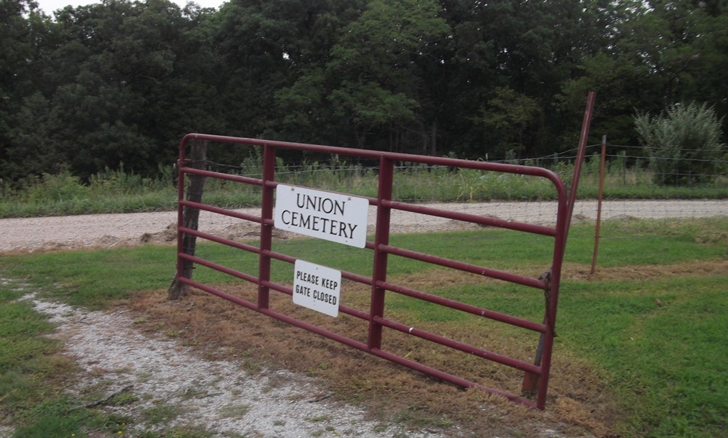
| Location | : | Jamestown, Moniteau County, USA |
| Coordinate | : | 38.7566200, -92.5040300 |
| Description | : | From California, go north on Highway 87 to the intersection of 87 and Route U at Jamestown. Turn left (west) and travel 3/10s of a mile to Carolina School Road. Turn left (south) and go 2/10s of a mile down this road, staying to the left on Crum Road and the cemetery is on the right (west) side of the road. |
frequently asked questions (FAQ):
-
Where is Union Cemetery?
Union Cemetery is located at Jamestown, Moniteau County ,Missouri ,USA.
-
Union Cemetery cemetery's updated grave count on graveviews.com?
12 memorials
-
Where are the coordinates of the Union Cemetery?
Latitude: 38.7566200
Longitude: -92.5040300
Nearby Cemetories:
1. Wilson Farm Cemetery
Moniteau County, USA
Coordinate: 38.7666200, -92.5079700
2. Concord Cemetery
Jamestown, Moniteau County, USA
Coordinate: 38.7658300, -92.4773000
3. Grace United Methodist Church Cemetery
Jamestown, Moniteau County, USA
Coordinate: 38.7656326, -92.4762344
4. Saint Paul's Evangelical Cemetery
Jamestown, Moniteau County, USA
Coordinate: 38.7660500, -92.4757300
5. Immanuel Lutheran Church Cemetery
Jamestown, Moniteau County, USA
Coordinate: 38.7672100, -92.4759500
6. Hardiman-Williams-Beatty Cemetery
Jamestown, Moniteau County, USA
Coordinate: 38.7741200, -92.4710400
7. Langley Family Cemetery
California, Moniteau County, USA
Coordinate: 38.7299300, -92.5266400
8. Moniteau Evangelical Advent Church Cemetery
Jamestown, Moniteau County, USA
Coordinate: 38.7430500, -92.5446100
9. Sperber Grave Site
Jamestown, Moniteau County, USA
Coordinate: 38.7481100, -92.5493900
10. Cofer Cemetery
Jamestown, Moniteau County, USA
Coordinate: 38.7633018, -92.4514008
11. Garman Cemetery
Moniteau County, USA
Coordinate: 38.7792015, -92.5492020
12. German Methodist Church Cemetery
Moniteau County, USA
Coordinate: 38.7793200, -92.5495900
13. Todd Cemetery
Jamestown, Moniteau County, USA
Coordinate: 38.7733300, -92.5588300
14. Kuhn Cemetery
Jamestown, Moniteau County, USA
Coordinate: 38.7932500, -92.5399800
15. Hudson Cemetery
Jamestown, Moniteau County, USA
Coordinate: 38.8039600, -92.5072700
16. Lacy Cemetery
Jamestown, Moniteau County, USA
Coordinate: 38.7875500, -92.5571200
17. Assumption of the Blessed Virgin Mary Church
Cedron, Moniteau County, USA
Coordinate: 38.7741300, -92.5681700
18. Bethel Cemetery
Jamestown, Moniteau County, USA
Coordinate: 38.7975006, -92.4507980
19. Kubli Chapel Cemetery
Jamestown, Moniteau County, USA
Coordinate: 38.7417300, -92.4295200
20. Bower Cemetery
California, Moniteau County, USA
Coordinate: 38.7142100, -92.5607900
21. Mount Zion Cemetery
Jamestown, Moniteau County, USA
Coordinate: 38.8064200, -92.4506300
22. Maupin Cemetery
Sandy Hook, Moniteau County, USA
Coordinate: 38.7735800, -92.4196400
23. Miller Cemetery
Sandy Hook, Moniteau County, USA
Coordinate: 38.7618600, -92.4168100
24. Tompkins Family Burial Ground
Prairie Home, Cooper County, USA
Coordinate: 38.8019390, -92.5721740