
| Memorials | : | 0 |
| Location | : | Camp Jo-Ann, Westmoreland County, USA |
| Coordinate | : | 40.5103569, -79.6614075 |
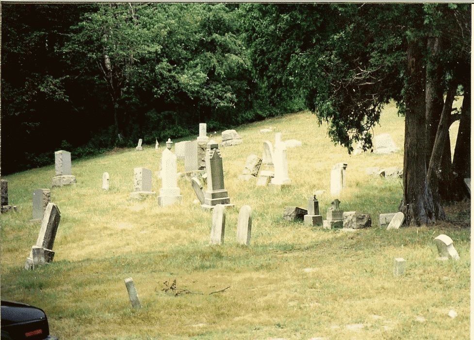
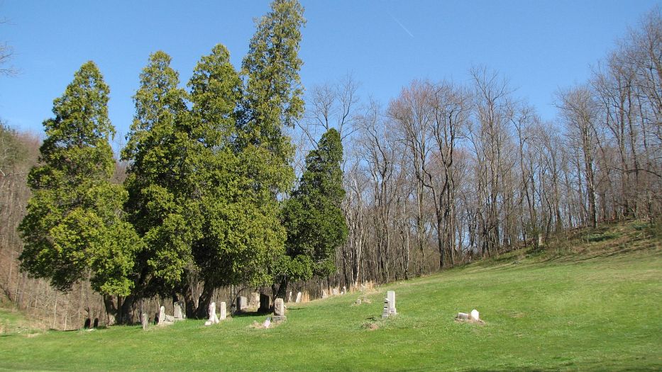
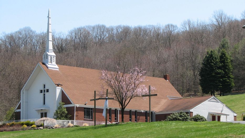
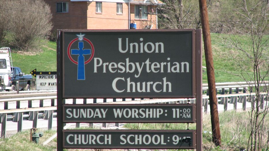
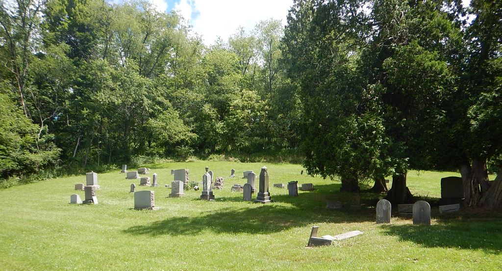
| Description | : | (This is probably really Union Presbyterian Church Cemetery and I am working to get the name changed within Find-A-Grave.) The following information has been provided by Alan Saltsman: This cemetery is on the north side of Route 380, exactly 1.1 miles east of the intersection of Routes 380 and 366. The tiny village of Camp Jo-Ann is just northwest of this road intersection. The cemetery is in Washington Township, Westmoreland County, Pennsylvania. In April 2009, Alan Saltsman made an attempt to photograph every marked grave. He then added 80 memorials to the 12 memorials already present resulting in a total of 92... Read More |
frequently asked questions (FAQ):
-
Where is Union Presbyterian Church Cemetery?
Union Presbyterian Church Cemetery is located at Camp Jo-Ann, Westmoreland County ,Pennsylvania ,USA.
-
Union Presbyterian Church Cemetery cemetery's updated grave count on graveviews.com?
0 memorials
-
Where are the coordinates of the Union Presbyterian Church Cemetery?
Latitude: 40.5103569
Longitude: -79.6614075
Nearby Cemetories:
1. Sardis Cemetery
Murrysville, Westmoreland County, USA
Coordinate: 40.4906006, -79.6835938
2. Hankey Cemetery
Murrysville, Westmoreland County, USA
Coordinate: 40.5036000, -79.6987000
3. Hunter Family Cemetery
Lower Burrell, Westmoreland County, USA
Coordinate: 40.5417862, -79.6650391
4. Olive Reformed Church Cemetery
Murrysville, Westmoreland County, USA
Coordinate: 40.4796160, -79.6993680
5. Olive Cemetery
Franklin, Westmoreland County, USA
Coordinate: 40.4795590, -79.6993840
6. North Washington Covenanter Cemetery
Westmoreland County, USA
Coordinate: 40.5349000, -79.6033000
7. Pine Run Cemetery
Westmoreland County, USA
Coordinate: 40.5471687, -79.5978394
8. Dugan Cemetery
Allegheny County, USA
Coordinate: 40.5447006, -79.7339020
9. Laird Cemetery
Allegheny County, USA
Coordinate: 40.4768982, -79.7356033
10. Kistler Family Cemetery
Westmoreland County, USA
Coordinate: 40.4623320, -79.5972080
11. Emmanuel Cemetery
Export, Westmoreland County, USA
Coordinate: 40.4392166, -79.6454315
12. Pine Run Presbyterian Church Cemetery
Markle, Westmoreland County, USA
Coordinate: 40.5811005, -79.6417007
13. Puckety UP Church Cemetery
Lower Burrell, Westmoreland County, USA
Coordinate: 40.5787010, -79.6961975
14. Bethesda Cemetery
Westmoreland County, USA
Coordinate: 40.5833015, -79.6744003
15. Saint Mary Cemetery
Lower Burrell, Westmoreland County, USA
Coordinate: 40.5868988, -79.6964035
16. Murrysville Cemetery
Murrysville, Westmoreland County, USA
Coordinate: 40.4295990, -79.6924100
17. Logans Ferry UP Church Cemetery
Parnassus, Westmoreland County, USA
Coordinate: 40.5539080, -79.7591810
18. Greenwood Memorial Park
Lower Burrell, Westmoreland County, USA
Coordinate: 40.5957985, -79.6849976
19. Round Hill Cemetery
New Kensington, Westmoreland County, USA
Coordinate: 40.5529060, -79.7620316
20. Free Gospel Church Cemetery
Export, Westmoreland County, USA
Coordinate: 40.4341270, -79.6019770
21. Seceders Lutheran Cemetery
Export, Westmoreland County, USA
Coordinate: 40.4203262, -79.6257553
22. Bethel Cemetery
Lower Burrell, Westmoreland County, USA
Coordinate: 40.5891991, -79.7292023
23. Grandview Cemetery
Export, Westmoreland County, USA
Coordinate: 40.4146576, -79.6287918
24. Ross Cemetery
Lower Burrell, Westmoreland County, USA
Coordinate: 40.5881190, -79.7422660