
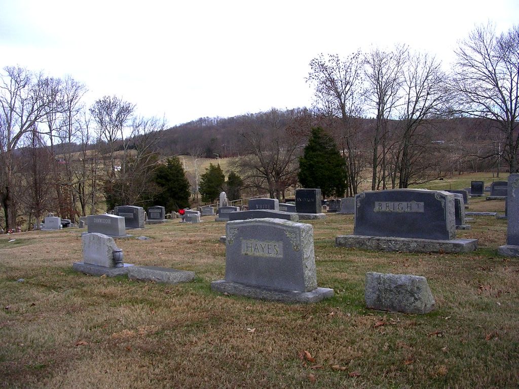
| Memorials | : | 55 |
| Location | : | Afton, Greene County, USA |
| Coordinate | : | 36.2956860, -82.7369450 |
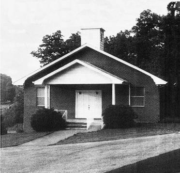
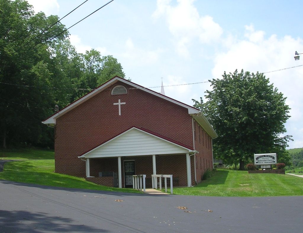
| Description | : | Located next to Union Temple United Methodist Church, State Route 93/Kingsport Highway off of the 11-E Bypass/E. Andrew Johnson Highway. |
frequently asked questions (FAQ):
-
Where is Union Temple United Methodist Church Cemetery?
Union Temple United Methodist Church Cemetery is located at 9930 Kingsport Hwy Afton, Greene County ,Tennessee ,USA.
-
Union Temple United Methodist Church Cemetery cemetery's updated grave count on graveviews.com?
55 memorials
-
Where are the coordinates of the Union Temple United Methodist Church Cemetery?
Latitude: 36.2956860
Longitude: -82.7369450
Nearby Cemetories:
1. Peters Family Cemetery
Afton, Greene County, USA
Coordinate: 36.2789170, -82.7343380
2. Babb Farm Cemetery
Afton, Greene County, USA
Coordinate: 36.2775280, -82.7405910
3. Moore Cemetery
Greene County, USA
Coordinate: 36.3058014, -82.7589035
4. Dotys Chapel United Methodist Church Cemetery
Afton, Greene County, USA
Coordinate: 36.2846630, -82.7641680
5. Roaring Springs Cemetery
Afton, Greene County, USA
Coordinate: 36.2955940, -82.7771400
6. Ratcliff Cemetery
Afton, Greene County, USA
Coordinate: 36.3308910, -82.7252550
7. Liberty Hill United Methodist Church Cemetery
Greene County, USA
Coordinate: 36.3056470, -82.6897470
8. Oakdale Missionary Baptist Church Cemetery
Afton, Greene County, USA
Coordinate: 36.3350100, -82.7290250
9. Dixon Chapel Church of God Cemetery
Greene County, USA
Coordinate: 36.2945420, -82.6858160
10. Babb Cemetery
Afton, Greene County, USA
Coordinate: 36.2648600, -82.7788200
11. Woolsey Settlement Graveyard
Afton, Greene County, USA
Coordinate: 36.3422770, -82.7363380
12. Pleasant Hill Cemetery
Greene County, USA
Coordinate: 36.3346000, -82.7005700
13. Pleasant Vale Cumberland Presbyterian Cemetery
Chuckey, Greene County, USA
Coordinate: 36.2560600, -82.6971100
14. Crawford Family Cemetery
Jearoldstown, Greene County, USA
Coordinate: 36.3437540, -82.7153530
15. Sulphur Springs Memorial Cemetery
Greeneville, Greene County, USA
Coordinate: 36.3059610, -82.7995350
16. Smith Family Cemetery
Baileyton, Greene County, USA
Coordinate: 36.3432700, -82.7701300
17. Ellis-Hendry Cemetery
Greene County, USA
Coordinate: 36.3074380, -82.8056080
18. Salem Cumberland Presbyterian Cemetery
Greeneville, Greene County, USA
Coordinate: 36.3314110, -82.7924970
19. Mount Zion United Methodist Church Cemetery
Afton, Greene County, USA
Coordinate: 36.2352470, -82.7482650
20. New Lebanon Missionary Baptist Church Cemetery
Baileyton, Greene County, USA
Coordinate: 36.3494400, -82.7784100
21. Quaker Knob Cemetery
Rheatown, Greene County, USA
Coordinate: 36.2361100, -82.7083300
22. Rock and Toby Cemetery
Greeneville, Greene County, USA
Coordinate: 36.2860660, -82.8161560
23. Ragsdale Family Cemetery
Rheatown, Greene County, USA
Coordinate: 36.2330120, -82.7118290
24. Caney Creek Cemetery
Baileyton, Greene County, USA
Coordinate: 36.3448300, -82.7934800