
| Memorials | : | 0 |
| Location | : | Mist, Columbia County, USA |
| Coordinate | : | 45.9675540, -123.2548700 |
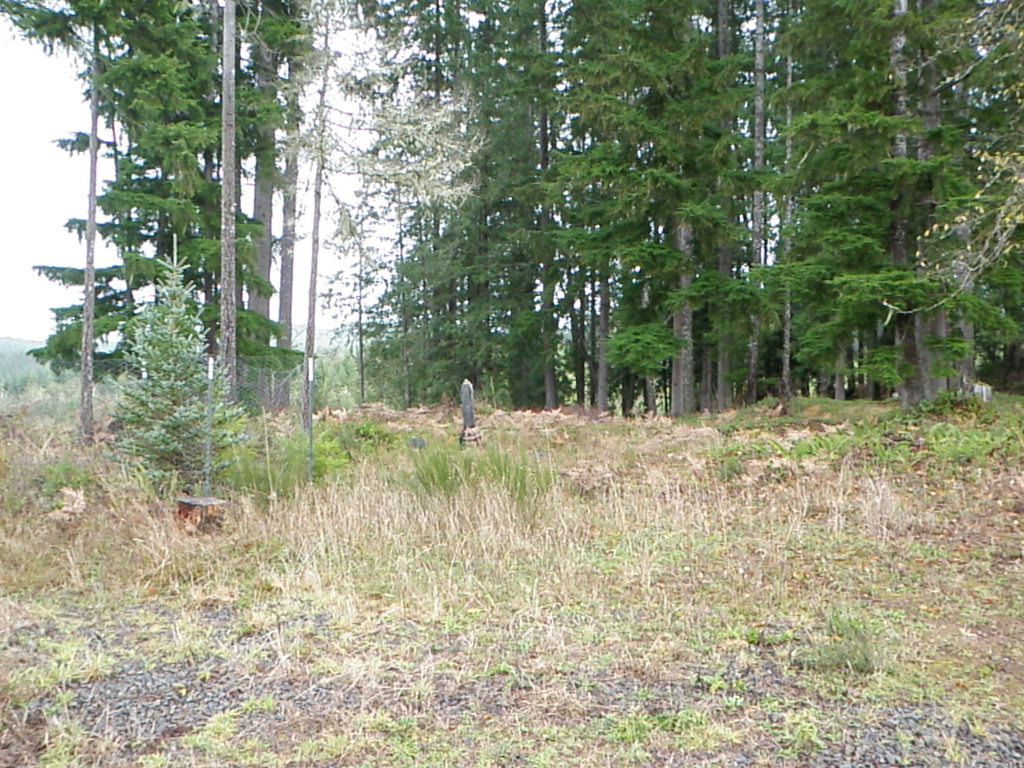
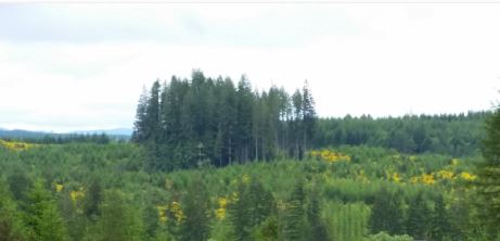
| Description | : | Located in an area known as The Burn, near Mist, Oregon, south of the junction of Oregon Highway 47 and Oregon Highway 202 about 2 miles on gravel logging roads. The cemetery is 2 ¼ miles from the small community of Mist and two miles from the nearest home. Its landscaping is by Mother Nature and a timber company. This cemetery is fairly hidden and unmarked to protect it from vandalism. It is also surrounded by privately owned timberlands. Permission to access the area may be required. The cemetery is owned and maintained by descendants of those buried here. In 2001, one... Read More |
frequently asked questions (FAQ):
-
Where is United Brethren Cemetery?
United Brethren Cemetery is located at Mist, Columbia County ,Oregon ,USA.
-
United Brethren Cemetery cemetery's updated grave count on graveviews.com?
0 memorials
-
Where are the coordinates of the United Brethren Cemetery?
Latitude: 45.9675540
Longitude: -123.2548700
Nearby Cemetories:
1. Mist Cemetery
Mist, Columbia County, USA
Coordinate: 46.0005989, -123.2463989
2. Deeds Cemetery
Vernonia, Columbia County, USA
Coordinate: 45.9675000, -123.1850660
3. Fishhawk Cemetery
Columbia County, USA
Coordinate: 46.0125008, -123.3230972
4. Vernonia Pioneer Cemetery
Vernonia, Columbia County, USA
Coordinate: 45.8692017, -123.1896973
5. Vernonia Memorial Cemetery
Vernonia, Columbia County, USA
Coordinate: 45.8638992, -123.2042007
6. Hanberg Homestead Cemetery
Jewell, Clatsop County, USA
Coordinate: 45.9737186, -123.4286185
7. Hall-Tipton Cemetery
Vernonia, Columbia County, USA
Coordinate: 45.8563690, -123.1690660
8. Murray Hill Cemetery
Clatskanie, Columbia County, USA
Coordinate: 46.0978012, -123.2127991
9. Maplewood Cemetery
Clatskanie, Columbia County, USA
Coordinate: 46.0992012, -123.2024994
10. Cedar Hill Cemetery
Clatskanie, Columbia County, USA
Coordinate: 46.1063995, -123.1903000
11. Girgenson Cemetery
Apiary, Columbia County, USA
Coordinate: 45.9969100, -123.0244300
12. North Cemetery of Clear Creek
Vernonia, Columbia County, USA
Coordinate: 45.8027992, -123.2930984
13. Apiary Cemetery
Rainier, Columbia County, USA
Coordinate: 46.0102997, -123.0196991
14. Stewart Creek Cemetery
Clatskanie, Columbia County, USA
Coordinate: 46.1278000, -123.1568985
15. Wilark Pioneer Cemetery
Trenholm, Columbia County, USA
Coordinate: 45.8873800, -123.0326200
16. Mountain View Cemetery
Rainier, Columbia County, USA
Coordinate: 46.0267770, -123.0162610
17. Jewell Cemetery
Jewell, Clatsop County, USA
Coordinate: 45.9361000, -123.5074997
18. Westport Cemetery
Westport, Clatsop County, USA
Coordinate: 46.1301670, -123.3766150
19. Kobel Cemetery
Goble, Columbia County, USA
Coordinate: 45.9832993, -122.9569016
20. Woodbine Cemetery
Rainier, Columbia County, USA
Coordinate: 46.0825540, -122.9979860
21. Jones Family Cemetery
Rainier, Columbia County, USA
Coordinate: 45.9685120, -122.9489370
22. Shiloh Basin Cemetery
Rainier, Columbia County, USA
Coordinate: 45.9681015, -122.9486008
23. Grasseth Cemetery
Wahkiakum County, USA
Coordinate: 46.1824989, -123.2142029
24. Mayger Downing Cemetery
Rainier, Columbia County, USA
Coordinate: 46.1581001, -123.0924988