
| Memorials | : | 1 |
| Location | : | Howe, LaGrange County, USA |
| Coordinate | : | 41.7509918, -85.3379364 |
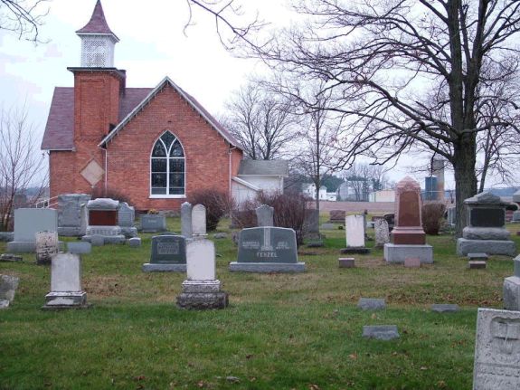
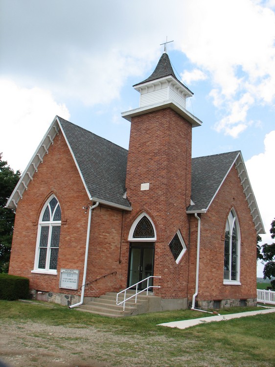
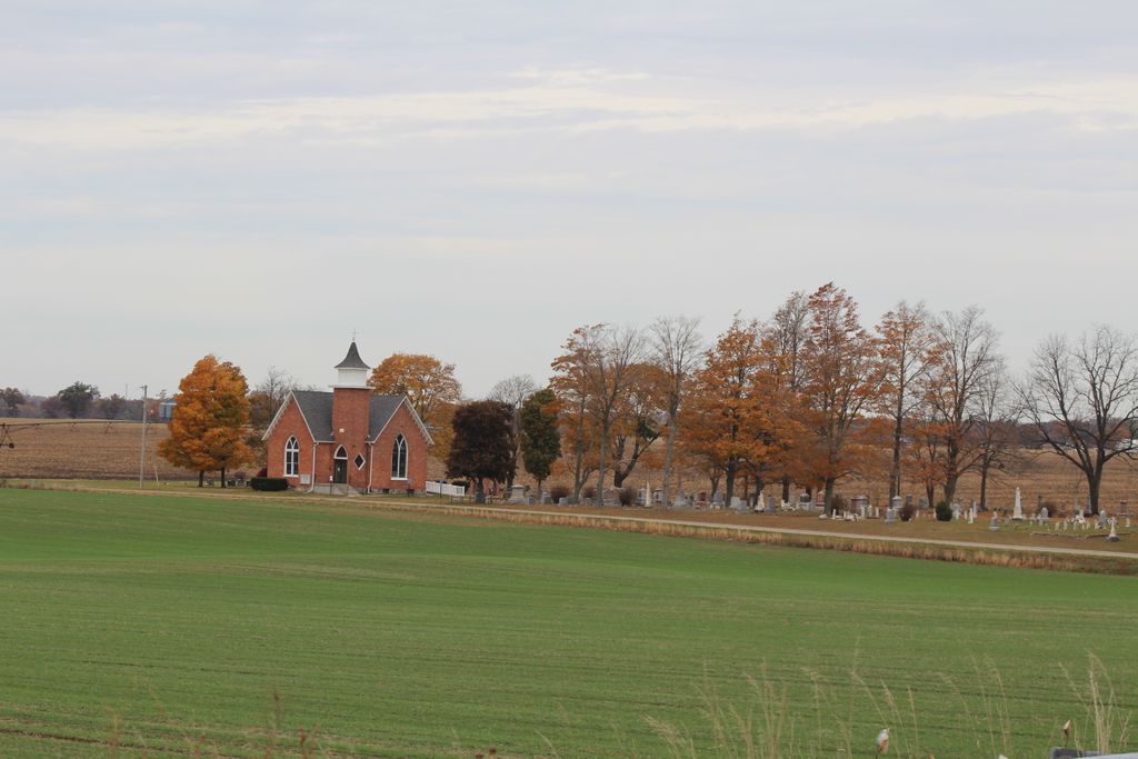
| Description | : | The cemetery is located in Pretty Prairie, Lagrange, Indiana. It is along 750 N driving east toward Greenfield. It is located on the north side of 750. |
frequently asked questions (FAQ):
-
Where is United Methodist Church Cemetery?
United Methodist Church Cemetery is located at north side of 750 north, west of 475 E Howe, LaGrange County ,Indiana , 46761USA.
-
United Methodist Church Cemetery cemetery's updated grave count on graveviews.com?
1 memorials
-
Where are the coordinates of the United Methodist Church Cemetery?
Latitude: 41.7509918
Longitude: -85.3379364
Nearby Cemetories:
1. Bontrager Family Cemetery
Howe, LaGrange County, USA
Coordinate: 41.7503204, -85.3552322
2. Eagle Cemetery
LaGrange County, USA
Coordinate: 41.7313200, -85.3162200
3. Anderson Cemetery
Greenfield Township, LaGrange County, USA
Coordinate: 41.7235200, -85.3355990
4. Fawn River Township Cemetery
Fawn River, St. Joseph County, USA
Coordinate: 41.7819440, -85.3475040
5. Brighton Chapel Cemetery
Brighton, LaGrange County, USA
Coordinate: 41.7163887, -85.3113785
6. English Prairie Cemetery
Brighton, LaGrange County, USA
Coordinate: 41.7055855, -85.3071518
7. Freedom Cemetery
Fawn River, St. Joseph County, USA
Coordinate: 41.8064003, -85.3371964
8. Bartholomew Cemetery
Fawn River Township, St. Joseph County, USA
Coordinate: 41.8059600, -85.3476300
9. Trayer Cemetery
Bronson, Branch County, USA
Coordinate: 41.7705550, -85.2677770
10. Eroh Cemetery
Fawn River Township, St. Joseph County, USA
Coordinate: 41.8081017, -85.3375015
11. Ontario Cemetery
Ontario, LaGrange County, USA
Coordinate: 41.7000450, -85.3888750
12. First Presbyterian Church Columbarium
Sturgis, St. Joseph County, USA
Coordinate: 41.7875150, -85.4078600
13. Sturgis Memorial Gardens
Sturgis Township, St. Joseph County, USA
Coordinate: 41.7805560, -85.4166640
14. Saint James Chapel Cemetery
Howe, LaGrange County, USA
Coordinate: 41.7234200, -85.4242200
15. Riverside Cemetery
Howe, LaGrange County, USA
Coordinate: 41.7150002, -85.4186020
16. Oak Lawn Cemetery
Sturgis, St. Joseph County, USA
Coordinate: 41.7905998, -85.4163971
17. Mongo Community Cemetery
Mongo, LaGrange County, USA
Coordinate: 41.6908810, -85.2827560
18. Mongo Cemetery
Mongo, LaGrange County, USA
Coordinate: 41.6837000, -85.2846000
19. East Mongo Cemetery
Mongo, LaGrange County, USA
Coordinate: 41.6834230, -85.2842390
20. Dutch Settlement Cemetery
Bronson, Branch County, USA
Coordinate: 41.8106003, -85.2632980
21. Fillmore Family Cemetery
Greenfield Mills, LaGrange County, USA
Coordinate: 41.7219260, -85.2347090
22. Hoagland Cemetery
Bloomfield Township, LaGrange County, USA
Coordinate: 41.6777992, -85.4077988
23. Tobey Cemetery
Sturgis, St. Joseph County, USA
Coordinate: 41.8375015, -85.3893967
24. Pleasant Hill Cemetery
LaGrange, LaGrange County, USA
Coordinate: 41.6634830, -85.3885890