| Memorials | : | 7 |
| Location | : | Coal Creek, Fremont County, USA |
| Coordinate | : | 38.5443993, -105.0306015 |
frequently asked questions (FAQ):
-
Where is Upper Beaver Creek Cemetery?
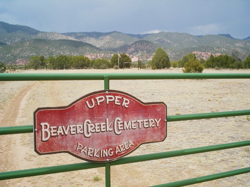
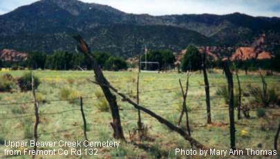
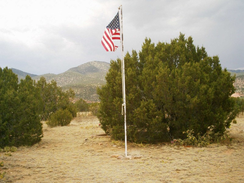
Upper Beaver Creek Cemetery is located at Coal Creek, Fremont County ,Colorado ,USA.
-
Upper Beaver Creek Cemetery cemetery's updated grave count on graveviews.com?
7 memorials
-
Where are the coordinates of the Upper Beaver Creek Cemetery?
Latitude: 38.5443993
Longitude: -105.0306015
Nearby Cemetories:
1. Burnett Cemetery
Fremont County, USA
Coordinate: 38.4733000, -105.0898000
2. Middle Beaver Creek Cemetery
Penrose, Fremont County, USA
Coordinate: 38.4303500, -104.9601700
3. Beaver Park Cemetery
Penrose, Fremont County, USA
Coordinate: 38.4131012, -105.0263977
4. Garden Park Cemetery
Canon City, Fremont County, USA
Coordinate: 38.5685000, -105.2264000
5. Holy Cross Abbey Cemetery
Fremont County, USA
Coordinate: 38.4520000, -105.2013000
6. San Juan Bautista Cemetery
Florence, Fremont County, USA
Coordinate: 38.3793720, -105.1054000
7. Henry Harkins Gravesite
El Paso County, USA
Coordinate: 38.6711000, -104.8583500
8. Lower Beaver Creek Cemetery
Fremont County, USA
Coordinate: 38.3692703, -104.9532700
9. Victor Sunnyside Cemetery
Victor, Teller County, USA
Coordinate: 38.7063890, -105.1543610
10. Mountain Vale Memorial Park
Canon City, Fremont County, USA
Coordinate: 38.4152985, -105.2069016
11. Union Highland Cemetery
Florence, Fremont County, USA
Coordinate: 38.3666992, -105.1160965
12. Christ Episcopal Columbarium
Canon City, Fremont County, USA
Coordinate: 38.4448000, -105.2383000
13. Skyline Drive West Cemetery
Canon City, Fremont County, USA
Coordinate: 38.4726000, -105.2578000
14. United Presbyterian Church Columbarium
Canon City, Fremont County, USA
Coordinate: 38.4428000, -105.2386810
15. Lakeside Cemetery
Canon City, Fremont County, USA
Coordinate: 38.4221992, -105.2277985
16. IOOF Cemetery
Prospect Heights, Fremont County, USA
Coordinate: 38.4277992, -105.2444000
17. Greenwood Cemetery
Canon City, Fremont County, USA
Coordinate: 38.4272003, -105.2463989
18. Pet Rest Memorial Park
Colorado Springs, El Paso County, USA
Coordinate: 38.7013200, -104.8292490
19. Saint Andrews Episcopal Church Columbarium
Cripple Creek, Teller County, USA
Coordinate: 38.7480000, -105.1746000
20. Mount Pisgah Cemetery
Cripple Creek, Teller County, USA
Coordinate: 38.7486000, -105.1943970
21. Star Ranch Burial Site
Colorado Springs, El Paso County, USA
Coordinate: 38.7559720, -104.8377780
22. Will Rogers Shrine of the Sun Chapel Crypt
Colorado Springs, El Paso County, USA
Coordinate: 38.7717000, -104.8631000
23. Inspiration Point Graves
El Paso County, USA
Coordinate: 38.7817930, -104.8793080
24. Jackson Cemetery
Colorado Springs, El Paso County, USA
Coordinate: 38.7813988, -104.8780975


