
| Memorials | : | 0 |
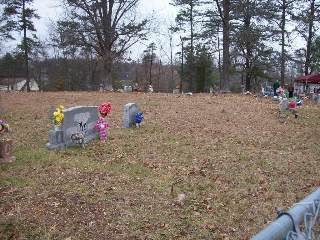
| Location | : | Bernstadt, Laurel County, USA |
| Coordinate | : | 37.1494550, -84.1711670 |
| Description | : | From US 25 North, turn left on Ky 80 West (Russell Dyche Highway). Go 2.5 miles and turn right on Ky 1035. Go 0.3 miles to Ky 1956 and turn left. Go 0.1 mile and turn left on Abbuhl Road. Cemetery is on the right across from the church. |
frequently asked questions (FAQ):
-
Where is Upper Colony Cemetery?
Upper Colony Cemetery is located at Abbuhl Road Bernstadt, Laurel County ,Kentucky ,USA.
-
Upper Colony Cemetery cemetery's updated grave count on graveviews.com?
0 memorials
-
Where are the coordinates of the Upper Colony Cemetery?
Latitude: 37.1494550
Longitude: -84.1711670
Nearby Cemetories:
1. Potter Cemetery
East Bernstadt, Laurel County, USA
Coordinate: 37.1671950, -84.1459600
2. John M. Turner Cemetery
Laurel County, USA
Coordinate: 37.1221630, -84.1656920
3. Couch Cemetery
Laurel County, USA
Coordinate: 37.1111218, -84.1502522
4. Snuffer Cemetery
East Bernstadt, Laurel County, USA
Coordinate: 37.1883011, -84.1461029
5. Saint John Swiss Reform Alphious Cemetery
East Bernstadt, Laurel County, USA
Coordinate: 37.1818630, -84.1303060
6. Larkey Cemetery
Laurel County, USA
Coordinate: 37.1367420, -84.1009050
7. Jones-Curry Cemetery
East Bernstadt, Laurel County, USA
Coordinate: 37.1893700, -84.1167100
8. Bowling Cemetery
East Bernstadt, Laurel County, USA
Coordinate: 37.2101700, -84.1651000
9. Delph Cemetery
East Bernstadt, Laurel County, USA
Coordinate: 37.2086000, -84.1509700
10. Angel Cemetery
Laurel County, USA
Coordinate: 37.1584980, -84.2473050
11. Watkins-Casteel Cemetery
East Bernstadt, Laurel County, USA
Coordinate: 37.1954600, -84.1146600
12. Litton Cemetery
East Bernstadt, Laurel County, USA
Coordinate: 37.1918983, -84.1085968
13. J.T. Brown Cemetery
Laurel County, USA
Coordinate: 37.1336670, -84.0844330
14. McNeil Cemetery
East Bernstadt, Laurel County, USA
Coordinate: 37.1989330, -84.1056640
15. Floyd Cemetery
Laurel County, USA
Coordinate: 37.0974998, -84.2356033
16. Cottingim Cemetery
Laurel County, USA
Coordinate: 37.1797420, -84.0834290
17. Osborne Family Cemetery
East Bernstadt, Laurel County, USA
Coordinate: 37.2111534, -84.1114240
18. Church of Our Lord Jesus Christ Cemetery
East Bernstadt, Laurel County, USA
Coordinate: 37.2110730, -84.1090110
19. Boyd - Craft Cemetery
Laurel County, USA
Coordinate: 37.0775010, -84.1235880
20. Foster Cemetery
Laurel County, USA
Coordinate: 37.1378100, -84.0695100
21. Andes Cemetery
East Bernstadt, Laurel County, USA
Coordinate: 37.2252998, -84.1303024
22. Collett Cemetery
Laurel County, USA
Coordinate: 37.1071590, -84.0797550
23. C.D. Ward Cemetery
Laurel County, USA
Coordinate: 37.1988630, -84.0841750
24. Chestnut Cemetery
Laurel County, USA
Coordinate: 37.1533100, -84.0639000