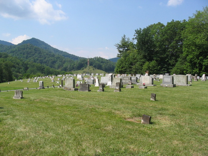
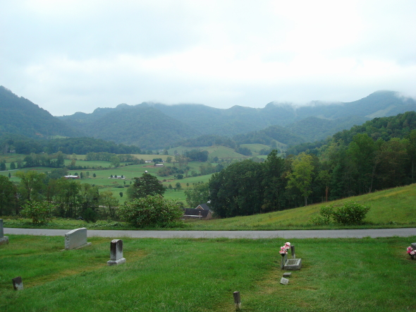
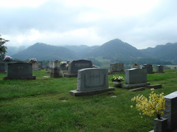
| Memorials | : | 11 |
| Location | : | Clyde, Haywood County, USA |
| Coordinate | : | 35.6068993, -82.9057999 |
| Description | : | Although the cemetery is on the hill above the Mount Zion United Methodist Church, it is a community cemetery, not a church cemetery. The correct name is Upper Crabtree Community Cemetery. |
frequently asked questions (FAQ):
-
Where is Upper Crabtree Community Cemetery?
Upper Crabtree Community Cemetery is located at Clyde, Haywood County ,North Carolina ,USA.
-
Upper Crabtree Community Cemetery cemetery's updated grave count on graveviews.com?
10 memorials
-
Where are the coordinates of the Upper Crabtree Community Cemetery?
Latitude: 35.6068993
Longitude: -82.9057999
Nearby Cemetories:
1. Crabtree Baptist Church Cemetery
Clyde, Haywood County, USA
Coordinate: 35.5993610, -82.9393330
2. Dawn Memory Garden
Clyde, Haywood County, USA
Coordinate: 35.5924988, -82.9392014
3. Parkers Chapel Cemetery
Clyde, Haywood County, USA
Coordinate: 35.6025190, -82.9464140
4. Clark Chapel Cemetery
Haywood County, USA
Coordinate: 35.5680900, -82.8636100
5. Finchers Chapel Cemetery
Clyde, Haywood County, USA
Coordinate: 35.5609770, -82.9358180
6. Oak Grove Baptist Church Cemetery
Clyde, Haywood County, USA
Coordinate: 35.5592200, -82.8679000
7. McClure Cemetery
Clyde, Haywood County, USA
Coordinate: 35.5532990, -82.9297028
8. Faith Baptist Church Cemetery
Waynesville, Haywood County, USA
Coordinate: 35.5803800, -82.9685100
9. Davis Chapel Methodist Church Cemetery
Iron Duff, Haywood County, USA
Coordinate: 35.5796040, -82.9683150
10. Old Thickety Cemetery
Clyde, Haywood County, USA
Coordinate: 35.5537454, -82.8769841
11. Antioch Baptist Church Cemetery
Iron Duff, Haywood County, USA
Coordinate: 35.5706596, -82.9643173
12. Beaverdam Community Cemetery
Canton, Haywood County, USA
Coordinate: 35.5842440, -82.8316610
13. Noland Family Cemetery
Haywood County, USA
Coordinate: 35.6417007, -82.9760971
14. Beaverdam Baptist Church Cemetery
Canton, Haywood County, USA
Coordinate: 35.5803100, -82.8301330
15. Daniel Austin Cemetery
Sandy Mush Township, Buncombe County, USA
Coordinate: 35.6313189, -82.8279234
16. Smathers Cemetery
Haywood County, USA
Coordinate: 35.5750008, -82.8313980
17. Panther Creek Baptist Church Cemetery
Panther Creek, Haywood County, USA
Coordinate: 35.6428797, -82.9804184
18. Ebenezer Baptist Church Cemetery
Leicester, Buncombe County, USA
Coordinate: 35.6409988, -82.8290024
19. Medford Cemetery
Clyde, Haywood County, USA
Coordinate: 35.5388985, -82.9341965
20. North Canton Community Cemetery
Canton, Haywood County, USA
Coordinate: 35.5583000, -82.8388977
21. Raymond Fairchild Memorial Garden
Canton, Haywood County, USA
Coordinate: 35.5588064, -82.8383400
22. Palmer Cemetery
Haywood County, USA
Coordinate: 35.6222000, -82.9935989
23. Patton Cemetery
West Canton, Haywood County, USA
Coordinate: 35.5381012, -82.8707962
24. Surrett Family Cemetery
Sandymush, Buncombe County, USA
Coordinate: 35.6686610, -82.8535800


