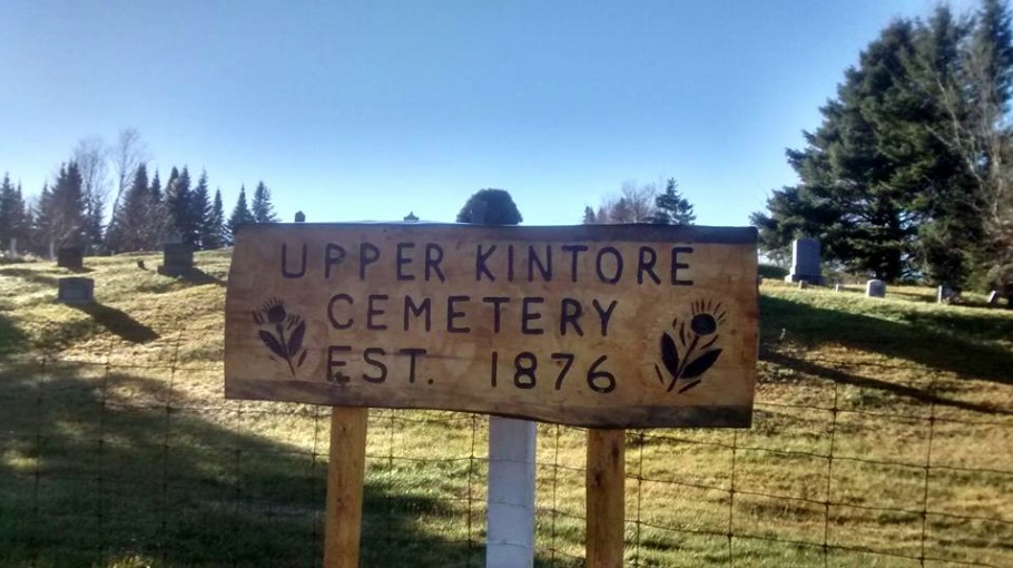
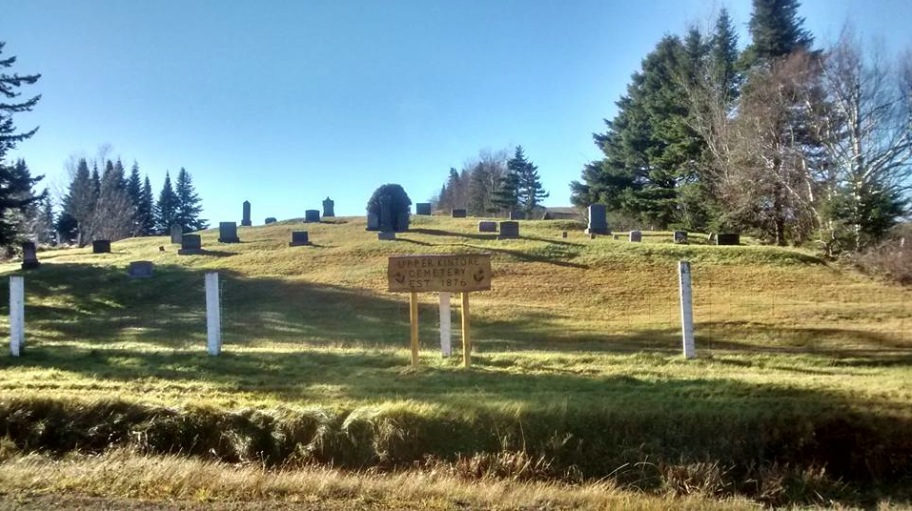
| Memorials | : | 12 |
| Location | : | Upper Kintore, Victoria County, Canada |
| Coordinate | : | 46.7291670, -67.5852780 |
| Description | : | Directions: The Upper Kintore Cemetery is located 31.4 km. south of the Village of Plaster Rock, traveling on Route 390 to Arthurette, crossing the bridge at Arthurette, and traveling on Route 109 a further 10 km., then turning left onto the Scotch Colony Road for 6.8 km. The cemetery is located just above the Upper Kintore United Church on a hill overlooking the main road, across the road from the Melvin Barclay farm. A Transcrtipion of the Upper Kintore Cemetery can be found here. An Excellent Web page about the History of the Upper Kintore area, including photos ... Read More |
frequently asked questions (FAQ):
-
Where is Upper Kintore Cemetery?
Upper Kintore Cemetery is located at Upper Kintore, Victoria County ,New Brunswick ,Canada.
-
Upper Kintore Cemetery cemetery's updated grave count on graveviews.com?
12 memorials
-
Where are the coordinates of the Upper Kintore Cemetery?
Latitude: 46.7291670
Longitude: -67.5852780
Nearby Cemetories:
1. Forest Glen Cemetery
Currie, Victoria County, Canada
Coordinate: 46.7671550, -67.5897700
2. Gladwyn United Church Cemetery
Gladwyn, Victoria County, Canada
Coordinate: 46.7747480, -67.5526100
3. Rowena Baptist Cemetery
Rowena, Victoria County, Canada
Coordinate: 46.7831165, -67.6158326
4. Sacred Heart Cemetery
Red Rapids, Victoria County, Canada
Coordinate: 46.7745049, -67.5224274
5. Rowena Full Gospel Pentecostal Church Cemetery
Rowena, Victoria County, Canada
Coordinate: 46.7836309, -67.6386491
6. Seymour Cemetery
Birch Ridge, Victoria County, Canada
Coordinate: 46.7377400, -67.4892580
7. St. Helen's Cemetery
Arthurette, Victoria County, Canada
Coordinate: 46.7828900, -67.5053100
8. Saint Bartholomew’s Anglican Church Cemetery
Birch Ridge, Victoria County, Canada
Coordinate: 46.7324333, -67.4730142
9. Perth-Andover Baptist Church Cemetery
Perth-Andover, Victoria County, Canada
Coordinate: 46.7478522, -67.6969303
10. Old Methodist Church Cemetery
Perth-Andover, Victoria County, Canada
Coordinate: 46.7506500, -67.6967900
11. Trinity Anglican Church Cemetery
Perth-Andover, Victoria County, Canada
Coordinate: 46.7571174, -67.6990229
12. Hillcrest Cemetery
Perth-Andover, Victoria County, Canada
Coordinate: 46.7431800, -67.7044100
13. South Tilley United Church Cemetery
South Tilley, Victoria County, Canada
Coordinate: 46.8126300, -67.6028700
14. Presbyterian Rural Cemetery
Perth-Andover, Victoria County, Canada
Coordinate: 46.7600894, -67.7013150
15. Saint Mary of the Angels
Perth-Andover, Victoria County, Canada
Coordinate: 46.7607665, -67.7018074
16. McKellar Cemetery
Arthurette, Victoria County, Canada
Coordinate: 46.7881400, -67.4938500
17. Arthurette Free Will Baptist Cemetery
Arthurette, Victoria County, Canada
Coordinate: 46.7931210, -67.4898590
18. Saint Ann Parish - Tobique First Nation Cemetery
Tobique, Victoria County, Canada
Coordinate: 46.7692510, -67.7055300
19. Holland Giberson Burial Site
Arthurette, Victoria County, Canada
Coordinate: 46.7914719, -67.4869707
20. Larlee Creek Cemetery
Perth-Andover, Victoria County, Canada
Coordinate: 46.7147700, -67.7183500
21. Wark Cemetery
Perth-Andover, Victoria County, Canada
Coordinate: 46.7286569, -67.7205736
22. Bishop Cemetery
Kilburn, Victoria County, Canada
Coordinate: 46.6748150, -67.7192446
23. Melville Cemetery
Kincardine, Victoria County, Canada
Coordinate: 46.6366790, -67.6660930
24. Our Lady of Mercy Cemetery
Aroostook, Victoria County, Canada
Coordinate: 46.7977210, -67.7263700


