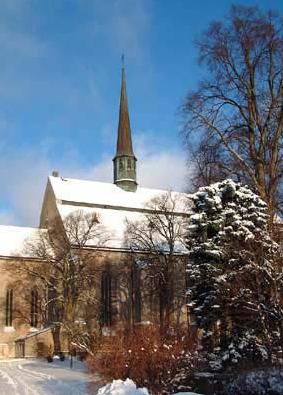
| Memorials | : | 0 |
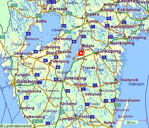
| Location | : | Vadstena, Vadstena kommun, Sweden |
| Coordinate | : | 58.4507520, 14.8912510 |
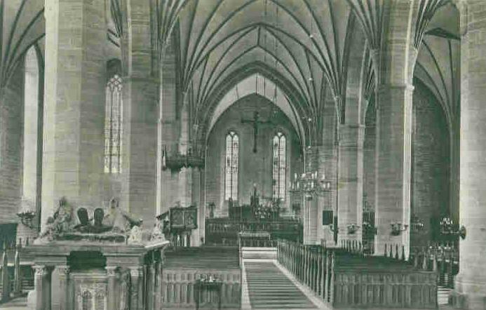
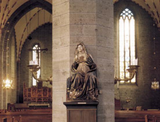
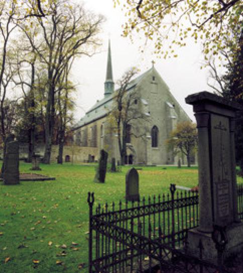
| Description | : | Description: The abbey was founded in 1346 by Saint Bridget with the assistance of King Magnus IV of Sweden and his Queen Blanche of Namur, who made a will donating ten farms, including that of Vadstena in Dal Hundred, Östergötland, to the abbey founded by Bridget. The daughter of Saint Bridget, Saint Catherine, on arriving there in 1374 with the relics of her mother, found only a few novices under an Augustinian superior. They chose St. Catherine as their abbess. She died in 1381, and it was not until 1384 that the abbey was blessed by the Bishop of Linköping. The... Read More |
frequently asked questions (FAQ):
-
Where is Vadstena Klosterkyrka?
Vadstena Klosterkyrka is located at Vadstena, Vadstena kommun ,Östergötlands län ,Sweden.
-
Vadstena Klosterkyrka cemetery's updated grave count on graveviews.com?
0 memorials
-
Where are the coordinates of the Vadstena Klosterkyrka?
Latitude: 58.4507520
Longitude: 14.8912510
Nearby Cemetories:
1. Vadstena Abbey Church
Vadstena, Vadstena kommun, Sweden
Coordinate: 58.4500000, 14.9000000
2. Rogslösa Kyrkogård
Rogslosa, Vadstena kommun, Sweden
Coordinate: 58.3827018, 14.7427602
3. Skänninge Kyrkogård
Skanninge, Mjölby kommun, Sweden
Coordinate: 58.3996117, 15.0717402
4. Sankt Ingrids Kloster
Skanninge, Mjölby kommun, Sweden
Coordinate: 58.4000000, 15.0833330
5. Vårfrukyrkan
Skanninge, Mjölby kommun, Sweden
Coordinate: 58.4000000, 15.0833330
6. Vallerstads Kyrka
Vallerstad, Mjölby kommun, Sweden
Coordinate: 58.4233590, 15.1423007
7. Högby Kyrkogård
Mjölby, Mjölby kommun, Sweden
Coordinate: 58.3526869, 15.0969168
8. Övralid
Motala, Motala kommun, Sweden
Coordinate: 58.6074220, 14.9441630
9. Kyrkogården Mjölby
Mjölby, Mjölby kommun, Sweden
Coordinate: 58.3325724, 15.1273974
10. Fornåsa Kyrka
Fornasa, Motala kommun, Sweden
Coordinate: 58.4806218, 15.2323788
11. Alvastra Klosterruin
Ödeshögs kommun, Sweden
Coordinate: 58.2966670, 14.6586110
12. Stora Åby Kyrkogård
Ödeshögs kommun, Sweden
Coordinate: 58.2398326, 14.7101802
13. Östra Tollstad kyrkogård
Mantorp, Mjölby kommun, Sweden
Coordinate: 58.3319970, 15.3108480
14. Ödeshögs Gamla Kyrkogård
Ödeshögs kommun, Sweden
Coordinate: 58.2301775, 14.6539536
15. Västra Harg Kyrkogård
Vastra Harg, Mjölby kommun, Sweden
Coordinate: 58.2638063, 15.2503753
16. Grevbäcks kyrkogård
Grevback, Hjo kommun, Sweden
Coordinate: 58.3529141, 14.3492917
17. Ljungs kyrkogård
Ljungsbro, Linköpings kommun, Sweden
Coordinate: 58.5239300, 15.4517100
18. Vreta klosterkyrka
Vreta Kloster, Linköpings kommun, Sweden
Coordinate: 58.4819650, 15.5176720
19. Sommens skogskyrkogård
Sommen, Tranås kommun, Sweden
Coordinate: 58.1215153, 14.9731217
20. Nykils Kyrkogård
Nykil, Linköpings kommun, Sweden
Coordinate: 58.2876420, 15.4484300
21. Hjo kyrka
Hjo, Hjo kommun, Sweden
Coordinate: 58.3018423, 14.2879376
22. Tibro Nya Kyrkogården
Tibro, Tibro kommun, Sweden
Coordinate: 58.4048600, 14.1920900
23. Kyrkefalla kyrkogård
Tibro, Tibro kommun, Sweden
Coordinate: 58.4082387, 14.1844411
24. Norra Fågelås Kyrkogård
Hjo, Hjo kommun, Sweden
Coordinate: 58.2670980, 14.2662030

