
| Memorials | : | 0 |
| Location | : | Valkenswaard, Valkenswaard Municipality, Netherlands |
| Coordinate | : | 51.3120300, 5.4256600 |
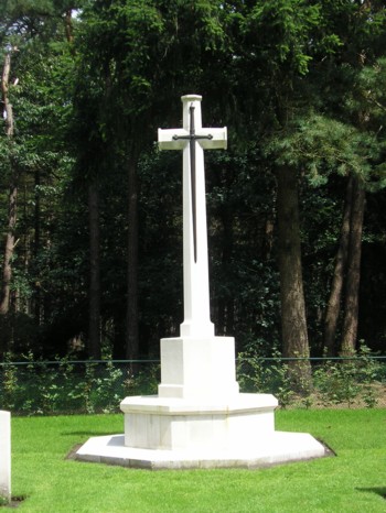
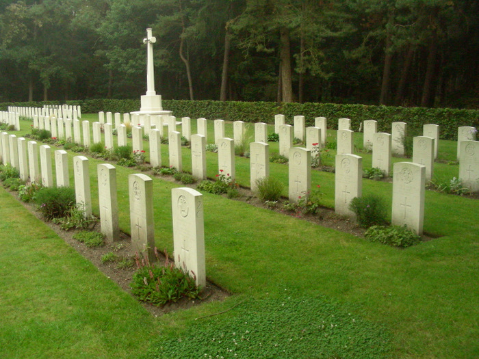
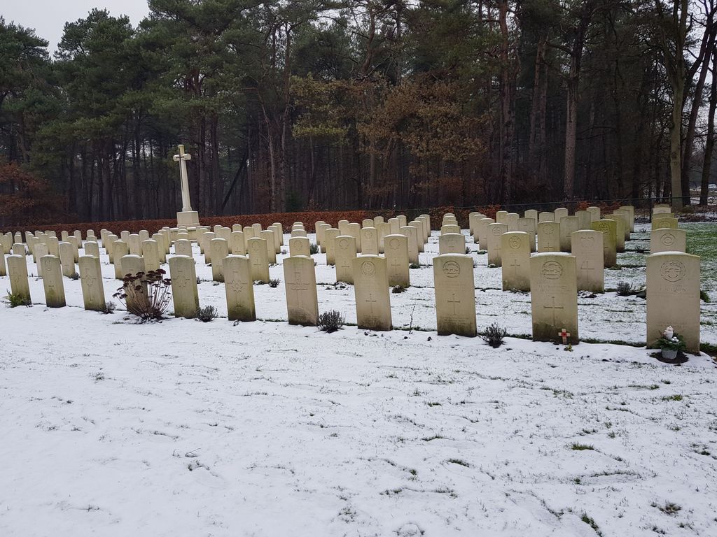
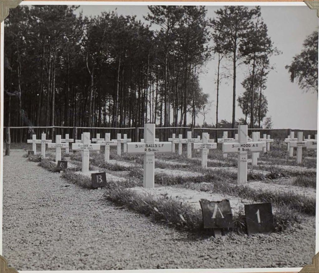
| Description | : | The town of Valkenswaard lies in the south of the Netherlands, approx 10kms south of Eindhoven and close to the Belgian border. From the A2 Eindhoven to Maastricht motorway take exit 33 (Afrit 33) N69 VALKENSWAARD and follow the direction VALKENSWAARD. Continue for approx 11kms, passing through the town of Valkenswaard and following signs for N69 HASSELT. The cemetery can be found on the right hand side and is signposted. The cemetery address is:- Luikerweg 5554 Valkenswaard Netherlands GPS Location is:- N 51 18 43 E 05 25 31 Valkenswaard was the first village to be liberated on the main... Read More |
frequently asked questions (FAQ):
-
Where is Valkenswaard War Cemetery?
Valkenswaard War Cemetery is located at Valkenswaard, Valkenswaard Municipality ,Noord-Brabant ,Netherlands.
-
Valkenswaard War Cemetery cemetery's updated grave count on graveviews.com?
0 memorials
-
Where are the coordinates of the Valkenswaard War Cemetery?
Latitude: 51.3120300
Longitude: 5.4256600

Nearby Cemetories:
1. Cemetery de Eikenhof
Valkenswaard Municipality, Netherlands
Coordinate: 51.3369161, 5.4559452
2. Valkenswaard Oude Katholieke Begraafplaats
Valkenswaard, Valkenswaard Municipality, Netherlands
Coordinate: 51.3531900, 5.4547700
3. Bergeijk 't Hof Cemetery
Bergeijk, Bergeijk Municipality, Netherlands
Coordinate: 51.3219300, 5.3551500
4. Lommel-Kolonie Begraafplaats
Lommel, Arrondissement Maaseik, Belgium
Coordinate: 51.2517700, 5.3842100
5. Achel Cemetery
Hamont-Achel, Arrondissement Maaseik, Belgium
Coordinate: 51.2559330, 5.4818990
6. Neerpelt old Communal Cemetery
Neerpelt, Arrondissement Maaseik, Belgium
Coordinate: 51.2314000, 5.4371600
7. Overpelt-Fabriek Cemetery
Overpelt, Arrondissement Maaseik, Belgium
Coordinate: 51.2288100, 5.3996800
8. Neerpelt New Communal Cemetery
Neerpelt, Arrondissement Maaseik, Belgium
Coordinate: 51.2203800, 5.4546600
9. Hamont Centrum Cemetery
Hamont-Achel, Arrondissement Maaseik, Belgium
Coordinate: 51.2542000, 5.5441600
10. Oud Kerkhof Hamont
Hamont, Arrondissement Maaseik, Belgium
Coordinate: 51.2534880, 5.5440170
11. Hamont Churchyard
Hamont-Achel, Arrondissement Maaseik, Belgium
Coordinate: 51.2518800, 5.5466300
12. Lommel Polish Military Cemetery
Lommel, Arrondissement Maaseik, Belgium
Coordinate: 51.2167200, 5.3631200
13. Lommel Centrum Cemetery
Lommel, Arrondissement Maaseik, Belgium
Coordinate: 51.2206600, 5.3437400
14. Veldhoven Begraafplaats Hoge Boght
Veldhoven, Veldhoven Municipality, Netherlands
Coordinate: 51.4116700, 5.3683800
15. Sint-Severinuskerkhof
Eindhoven, Eindhoven Municipality, Netherlands
Coordinate: 51.4176300, 5.4495100
16. Stratum Roostenhof Cemetery
Stratum, Eindhoven Municipality, Netherlands
Coordinate: 51.4092500, 5.4962800
17. Heeze Catholic Cemetery
Heeze, Heeze-Leende Municipality, Netherlands
Coordinate: 51.3777900, 5.5755100
18. Overpelt-Centrum Cemetery
Overpelt, Arrondissement Maaseik, Belgium
Coordinate: 51.1952400, 5.4255200
19. Sint-Severinuskerkhof
Hapert, Bladel Municipality, Netherlands
Coordinate: 51.3706200, 5.2520700
20. Budel Dorplein Roman Catholic Cemetery
Budel, Cranendonck Municipality, Netherlands
Coordinate: 51.2391600, 5.5882700
21. Eindhoven Sint-Catharina Cemetery
Eindhoven, Eindhoven Municipality, Netherlands
Coordinate: 51.4337600, 5.4773100
22. Sint Joris Cemetery
Stratum, Eindhoven Municipality, Netherlands
Coordinate: 51.4311800, 5.4912100
23. Begraafplaats Sint Trudo
Eindhoven Municipality, Netherlands
Coordinate: 51.4408198, 5.4546763
24. Sterksel Monastery Cemetery
Sterksel, Heeze-Leende Municipality, Netherlands
Coordinate: 51.3570900, 5.6228800