
| Memorials | : | 1428 |
| Location | : | Valley Falls, Jefferson County, USA |
| Coordinate | : | 39.3321114, -95.4634018 |
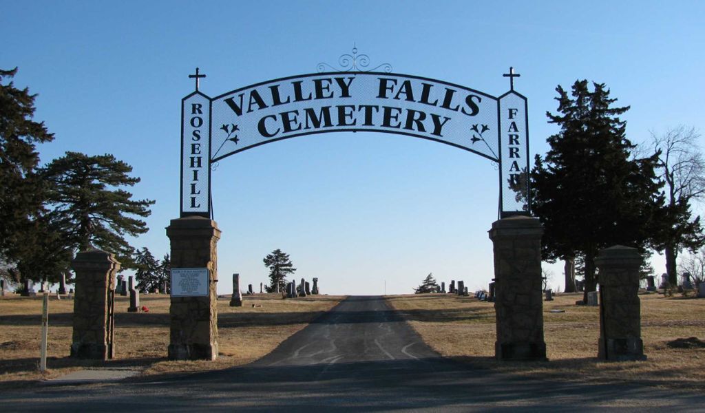
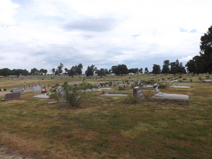
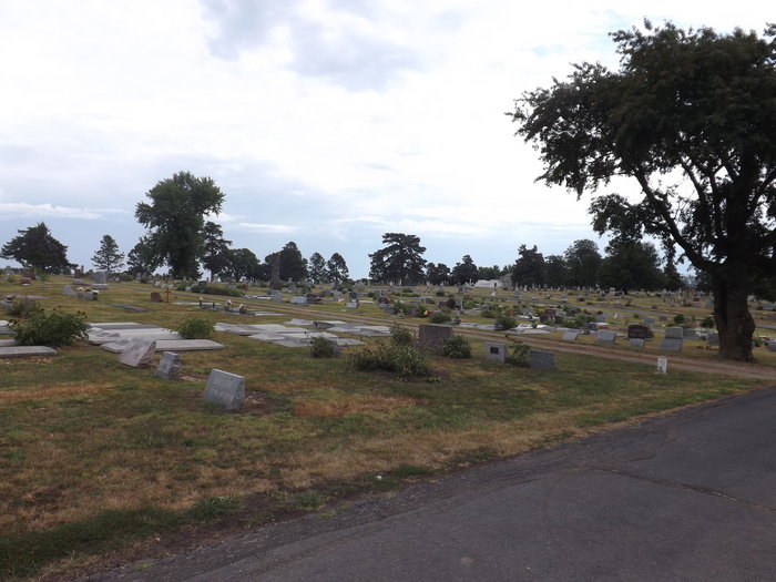
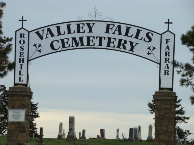
| Description | : | Valley Falls cemetery in Valley Falls, Jefferson Co., Kansas, is actually two cemeteries on the same property. On the west side is the Farrer Cemetery, which was a Catholic cemetery. On the east side is Rose Hill Cemetery, for Protestants. |
frequently asked questions (FAQ):
-
Where is Valley Falls Cemetery?
Valley Falls Cemetery is located at 801 19th Street Valley Falls, Jefferson County ,Kansas ,USA.
-
Valley Falls Cemetery cemetery's updated grave count on graveviews.com?
1427 memorials
-
Where are the coordinates of the Valley Falls Cemetery?
Latitude: 39.3321114
Longitude: -95.4634018
Nearby Cemetories:
1. Old Pioneer Cemetery
Valley Falls, Jefferson County, USA
Coordinate: 39.3400993, -95.4677963
2. Saint Marys Cemetery
Valley Falls, Jefferson County, USA
Coordinate: 39.3438988, -95.4467010
3. Harman Family Cemetery
Valley Falls, Jefferson County, USA
Coordinate: 39.3237780, -95.5095040
4. Cove Road Cemetery
Jefferson County, USA
Coordinate: 39.3767500, -95.4511900
5. Summerfelt Cemetery
Valley Falls, Jefferson County, USA
Coordinate: 39.3814500, -95.4859400
6. Abbuehl Family Cemetery
Valley Falls, Jefferson County, USA
Coordinate: 39.4038000, -95.4733900
7. Graggs Chapel Cemetery
Valley Falls, Jefferson County, USA
Coordinate: 39.3535995, -95.5532990
8. Coal Creek Cemetery
Valley Falls, Jefferson County, USA
Coordinate: 39.4061089, -95.4594498
9. Metzger Grave Site
Jefferson County, USA
Coordinate: 39.2628900, -95.5212100
10. Smith Family Cemetery
Valley Falls, Jefferson County, USA
Coordinate: 39.4157295, -95.4602737
11. Spring Grove Cemetery
Winchester, Jefferson County, USA
Coordinate: 39.3272018, -95.3471985
12. Bloomfield Cemetery
Meriden, Jefferson County, USA
Coordinate: 39.2848587, -95.5718765
13. Fairview Cemetery
Dunavant, Jefferson County, USA
Coordinate: 39.2672005, -95.3672028
14. Hart Cemetery
Boyle, Jefferson County, USA
Coordinate: 39.3770485, -95.3482819
15. Pleasant Hill Cemetery
Ozawkie, Jefferson County, USA
Coordinate: 39.2278800, -95.4879700
16. Michael Family Cemetery
Ozawkie, Jefferson County, USA
Coordinate: 39.2305500, -95.4219500
17. Hamon Family Cemetery
Arrington, Atchison County, USA
Coordinate: 39.4424400, -95.4842377
18. Ozawkie Cemetery
Ozawkie, Jefferson County, USA
Coordinate: 39.2222099, -95.4332428
19. Patton - Robertson Family Cemetery
Larkinburg, Atchison County, USA
Coordinate: 39.4342900, -95.5404000
20. Crowley-Blevins Cemetery
Rock Creek, Jefferson County, USA
Coordinate: 39.2543960, -95.5839290
21. Ernst Family Cemetery
Arrington, Atchison County, USA
Coordinate: 39.4533900, -95.4781800
22. South Cedar Cemetery
Mayetta, Jackson County, USA
Coordinate: 39.3286018, -95.6267014
23. Nortonville Cemetery
Nortonville, Jefferson County, USA
Coordinate: 39.4140205, -95.3374023
24. Neill Cemetery
Atchison County, USA
Coordinate: 39.4497000, -95.3944200