
| Memorials | : | 5 |
| Location | : | Ottawa County, USA |
| Coordinate | : | 39.1194000, -97.4180984 |
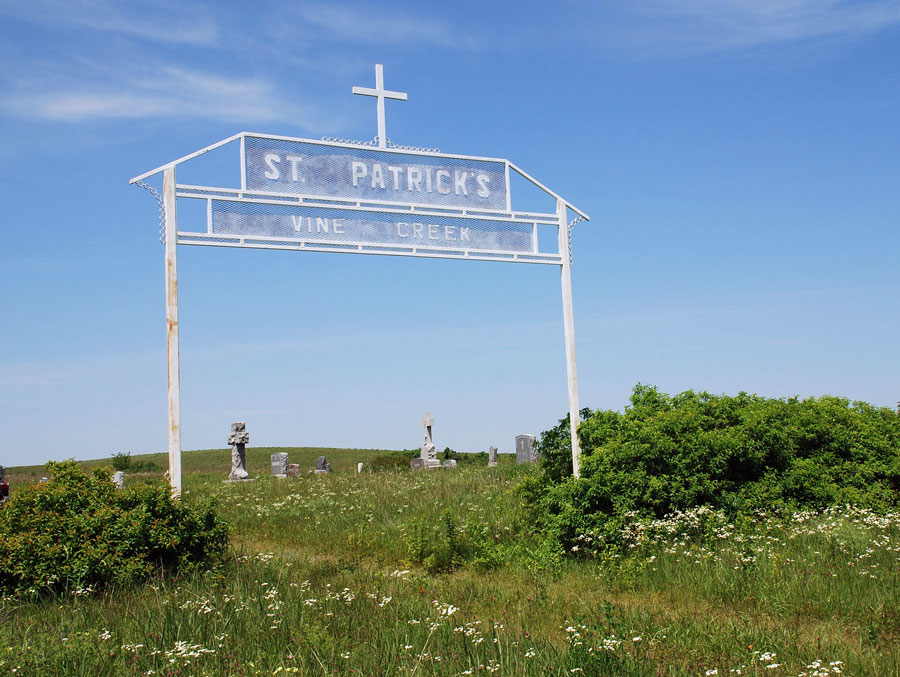
| Description | : | It is located approximately 16 miles east of Minneapolis, Kansas or eight miles southwest of Longford, Kansas in Ottawa Township, Ottawa County. It is on the south side of Section 3, Township 11, Range 1 West near the intersection of Kiowa Road and Landmark Drive. The cemetery is maintained by the Immaculate Conception Catholic Church of Solomon, Kansas phone 785-655-2221. |
frequently asked questions (FAQ):
-
Where is Vine Creek Cemetery?
Vine Creek Cemetery is located at Ottawa County ,Kansas ,USA.
-
Vine Creek Cemetery cemetery's updated grave count on graveviews.com?
5 memorials
-
Where are the coordinates of the Vine Creek Cemetery?
Latitude: 39.1194000
Longitude: -97.4180984

Nearby Cemetories:
1. Ackley Cemetery
Ottawa County, USA
Coordinate: 39.0893160, -97.4797040
2. Swartwood Cemetery
Longford, Clay County, USA
Coordinate: 39.1323200, -97.3431500
3. White Cloud Cemetery
Manchester, Dickinson County, USA
Coordinate: 39.0744019, -97.3525009
4. Keystone Cemetery
Manchester, Dickinson County, USA
Coordinate: 39.1185989, -97.2917023
5. Rose Meron Cemetery
Oak Hill, Clay County, USA
Coordinate: 39.2194700, -97.3338900
6. Mount Liberty Church Cemetery
Ottawa County, USA
Coordinate: 39.2489400, -97.4356200
7. Prairiedale Cemetery
Talmage, Dickinson County, USA
Coordinate: 39.0471992, -97.2652969
8. Greenville Cemetery
Niles, Ottawa County, USA
Coordinate: 38.9794006, -97.4646988
9. Pleasant Hill Cemetery
Lamar, Ottawa County, USA
Coordinate: 39.2050018, -97.5832977
10. Heart Land Prairie Cemetery
Niles, Ottawa County, USA
Coordinate: 38.9693700, -97.4732900
11. Bennington Cemetery
Bennington, Ottawa County, USA
Coordinate: 39.0385200, -97.5937800
12. Pleasant Valley Cemetery
Oak Hill, Clay County, USA
Coordinate: 39.2468987, -97.2889023
13. Wesleyan Cemetery
Oak Hill, Clay County, USA
Coordinate: 39.2268982, -97.2572021
14. Henry Cemetery
Buckeye, Dickinson County, USA
Coordinate: 39.0828018, -97.1857986
15. Zion Cemetery
Abilene, Dickinson County, USA
Coordinate: 39.0319240, -97.2045850
16. Fairview Cemetery
Lamar, Ottawa County, USA
Coordinate: 39.2928009, -97.5299988
17. Mount Calvary Cemetery
Saline County, USA
Coordinate: 38.9247017, -97.3891983
18. Athelstane Cemetery
Athelstane Township, Clay County, USA
Coordinate: 39.1768990, -97.1753006
19. Crosson Cemetery
Minneapolis, Ottawa County, USA
Coordinate: 39.2011940, -97.6544720
20. Union Cemetery
Buckeye, Dickinson County, USA
Coordinate: 39.0243988, -97.1856003
21. Hall Cemetery
Delphos, Ottawa County, USA
Coordinate: 39.2404970, -97.6302360
22. Prairie Mound Cemetery
Solomon, Dickinson County, USA
Coordinate: 38.9193993, -97.3527985
23. Shields Cemetery
Clay County, USA
Coordinate: 39.3208008, -97.3507996
24. Buckeye Cemetery
Buckeye, Dickinson County, USA
Coordinate: 39.0463070, -97.1665840