
| Memorials | : | 0 |
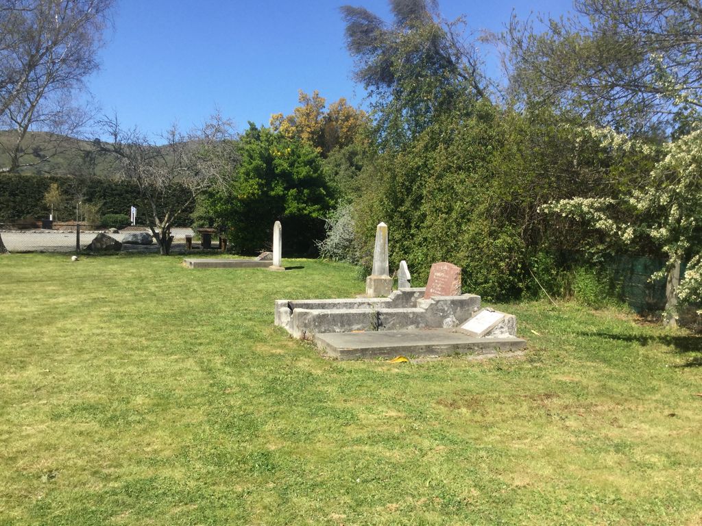
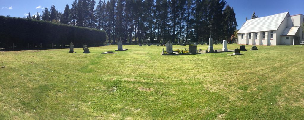
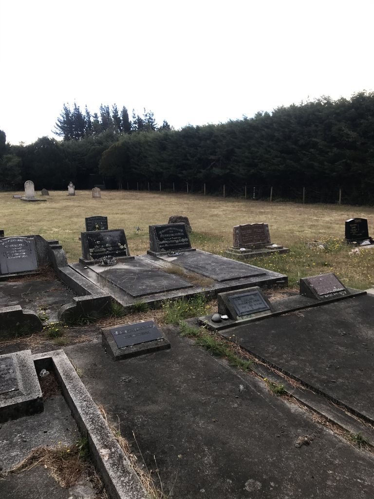
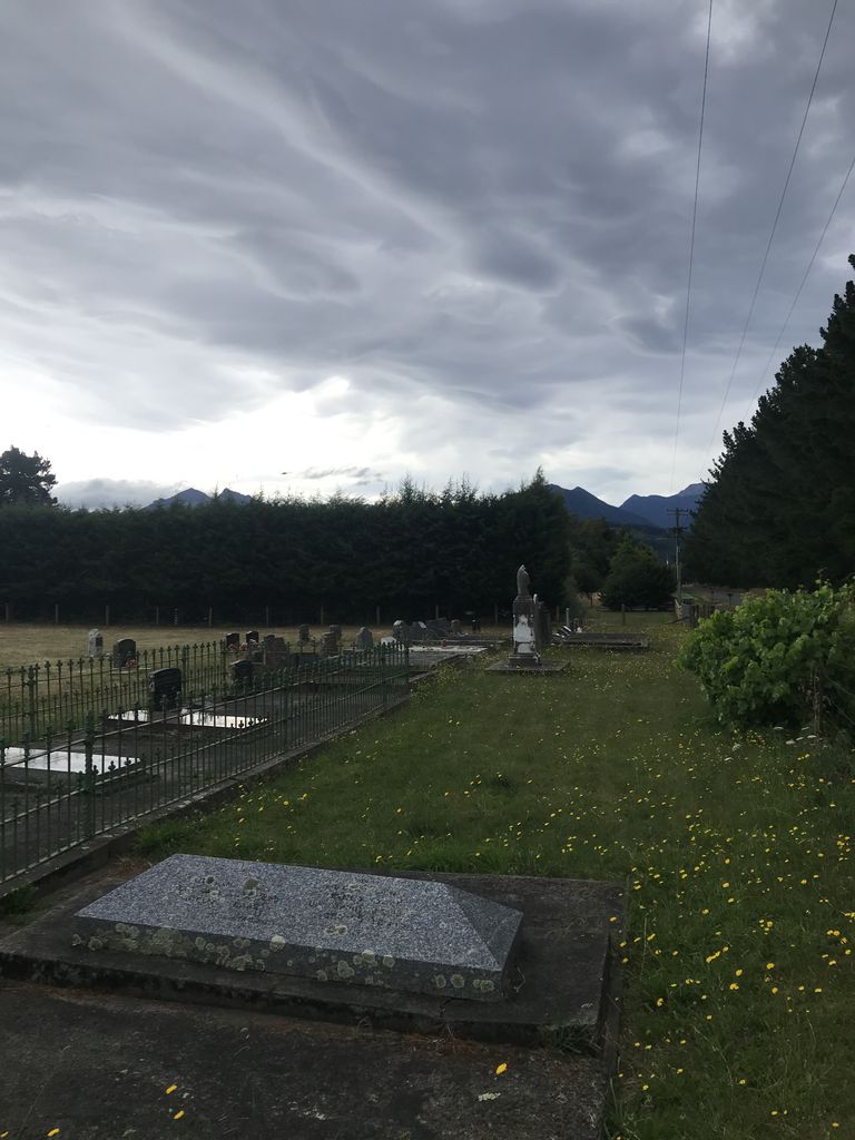
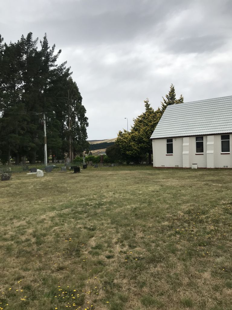
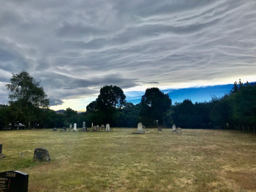
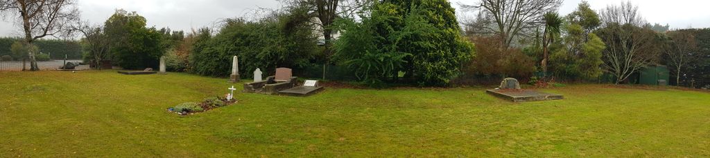
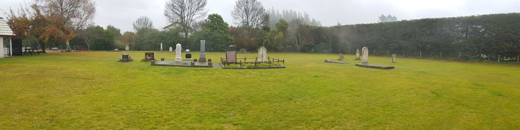
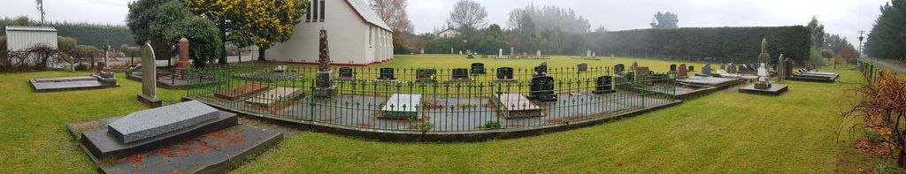
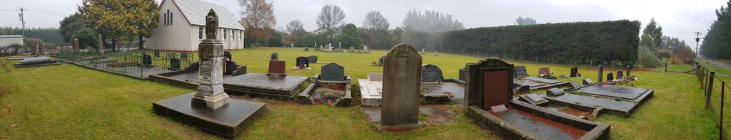
| Location | : | Wairau Valley, Marlborough District, New Zealand |
| Coordinate | : | -41.5604349, 173.5424065 |
frequently asked questions (FAQ):
-
Where is Wairau Valley Community Churchyard?
Wairau Valley Community Churchyard is located at Wairau Valley, Marlborough District ,Marlborough ,New Zealand.
-
Wairau Valley Community Churchyard cemetery's updated grave count on graveviews.com?
0 memorials
-
Where are the coordinates of the Wairau Valley Community Churchyard?
Latitude: -41.5604349
Longitude: 173.5424065
Nearby Cemetories:
1. Wairau Valley Catholic Cemetery
Wairau Valley, Marlborough District, New Zealand
Coordinate: -41.5617282, 173.5383700
2. Lansdowne Cemetery
Hillersden, Marlborough District, New Zealand
Coordinate: -41.5709846, 173.5434728
3. Bartlett's Creek Cemetery
Onamalutu, Marlborough District, New Zealand
Coordinate: -41.5136730, 173.5891660
4. Langley Dale Cemetery
Marlborough District, New Zealand
Coordinate: -41.5076952, 173.7025647
5. Upper Wairau Valley Cemetery
Blenheim, Marlborough District, New Zealand
Coordinate: -41.5171130, 173.7974110
6. Maher Family Cemetery
Kaituna, Marlborough District, New Zealand
Coordinate: -41.4682494, 173.7958289
7. Deep Creek Cemetery
Deep Creek, Marlborough District, New Zealand
Coordinate: -41.3556480, 173.6320210
8. Kaituna Cemetery
Kaituna, Marlborough District, New Zealand
Coordinate: -41.4694650, 173.8036590
9. Pioneers Church Cemetery
Renwick, Marlborough District, New Zealand
Coordinate: -41.5091139, 173.8364765
10. Fairhall Cemetery
Blenheim, Marlborough District, New Zealand
Coordinate: -41.5294100, 173.8677800
11. Old Renwick Cemetery
Marlborough District, New Zealand
Coordinate: -41.5014030, 173.8909900
12. Ruakanakana Urupā
Kaituna, Marlborough District, New Zealand
Coordinate: -41.4463616, 173.8779400
13. Rapaura Community Churchyard
Rapaura, Marlborough District, New Zealand
Coordinate: -41.4724800, 173.8995800
14. Rapaura Anglican Cemetery
Rapaura, Marlborough District, New Zealand
Coordinate: -41.4719700, 173.9014700
15. Te Horo Cemetery
Canvastown, Marlborough District, New Zealand
Coordinate: -41.2887942, 173.6652268
16. Ruapeka Cemetery
Canvastown, Marlborough District, New Zealand
Coordinate: -41.2883780, 173.6901440
17. Altimarlock Station
Altimarlock, Marlborough District, New Zealand
Coordinate: -41.7387595, 173.8579141
18. Omaka Cemetery
Blenheim, Marlborough District, New Zealand
Coordinate: -41.5381800, 173.9401100
19. St. Mary's Orphanage Cemetery
Nelson City, New Zealand
Coordinate: -41.3302150, 173.2449810
20. Havelock Cemetery
Havelock, Marlborough District, New Zealand
Coordinate: -41.2826300, 173.7684800
21. Marsden Cemetery
Nelson, Nelson City, New Zealand
Coordinate: -41.3178960, 173.2488480
22. Busch Graves
Hope, Tasman District, New Zealand
Coordinate: -41.4048597, 173.1533852
23. Māori Island Urupā Otamawahu
Grovetown, Marlborough District, New Zealand
Coordinate: -41.4729310, 173.9778908
24. St Barnabas Anglican Churchyard
Stoke, Nelson City, New Zealand
Coordinate: -41.3126340, 173.2351600