
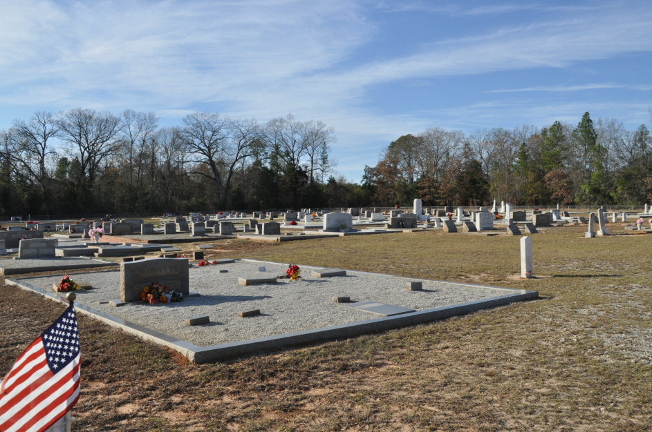
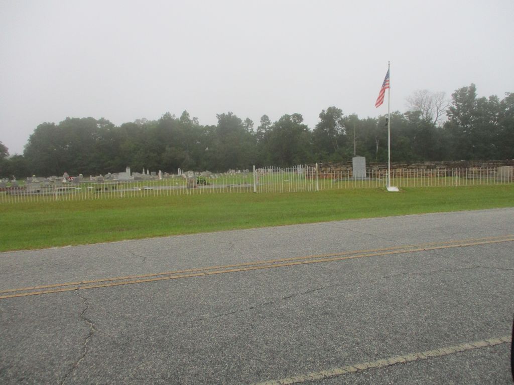
| Memorials | : | 0 |
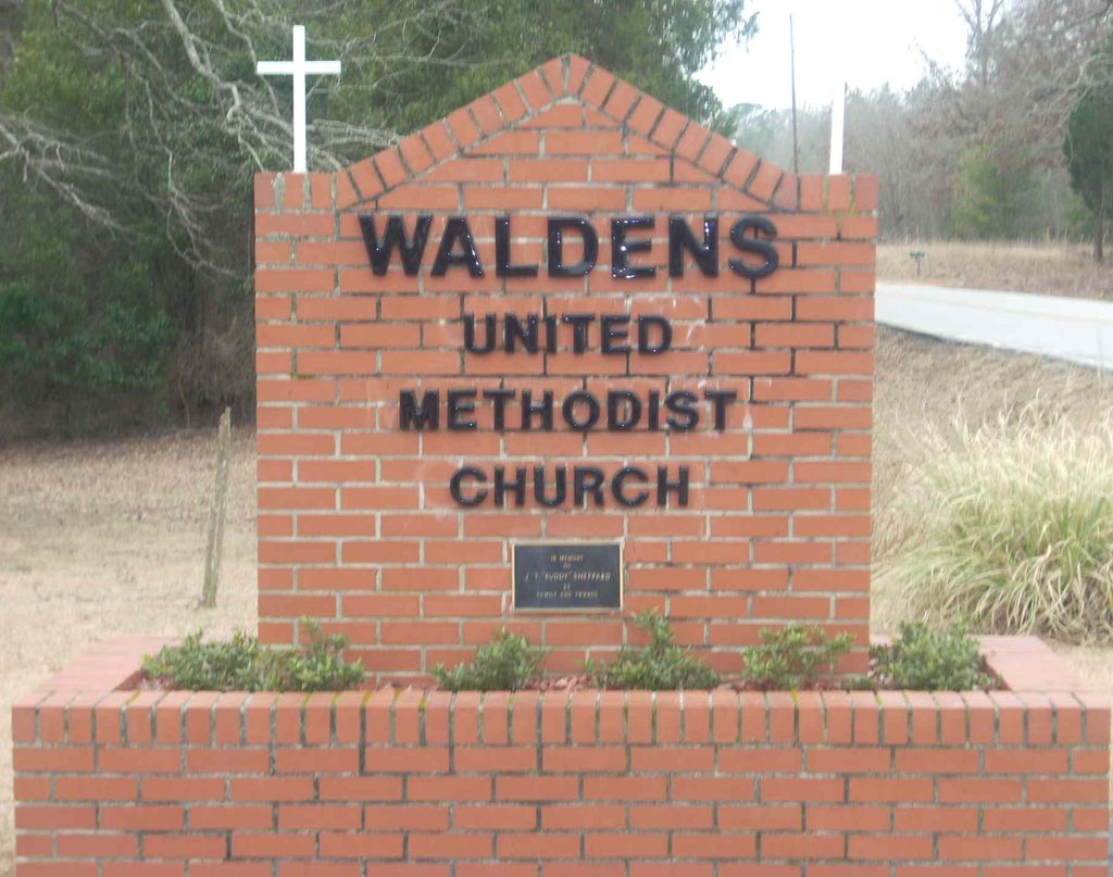
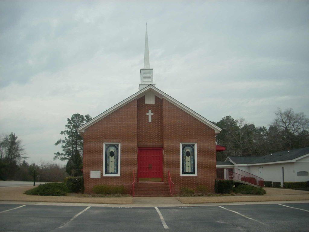
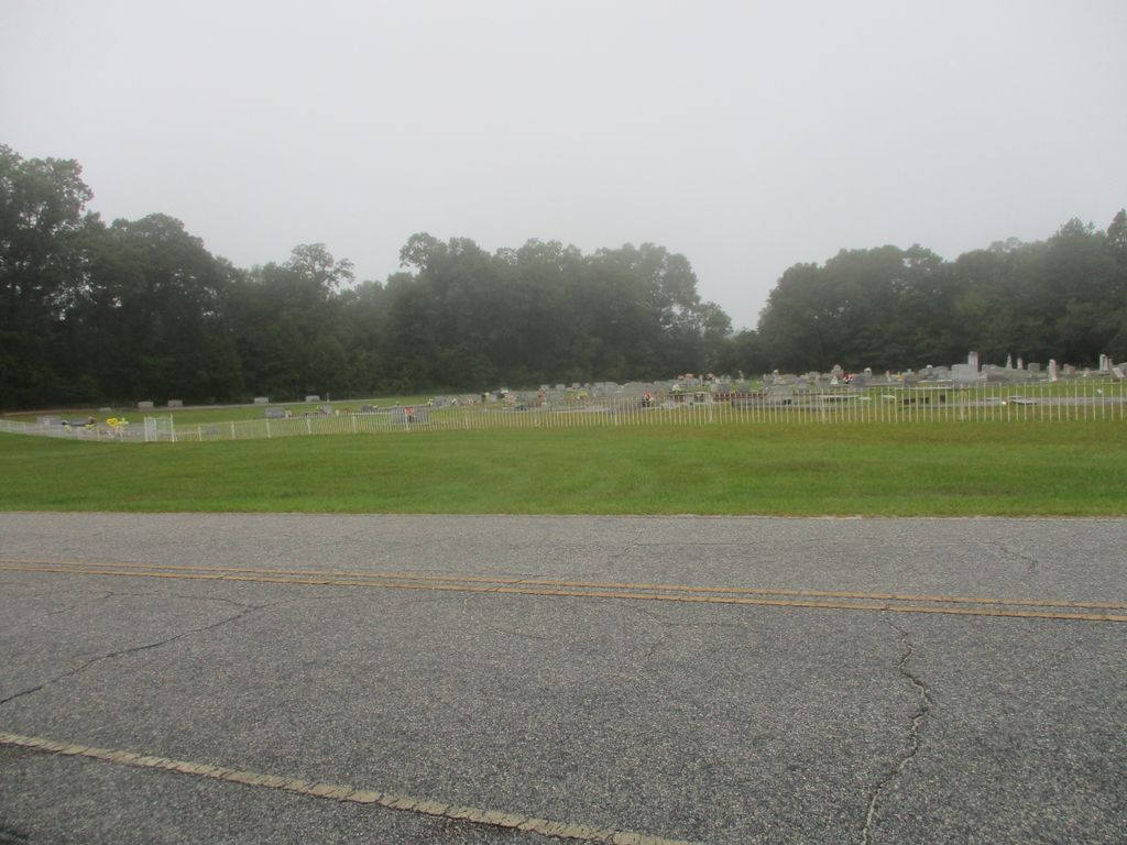
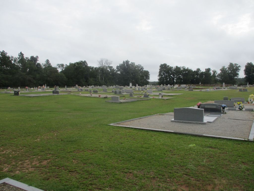
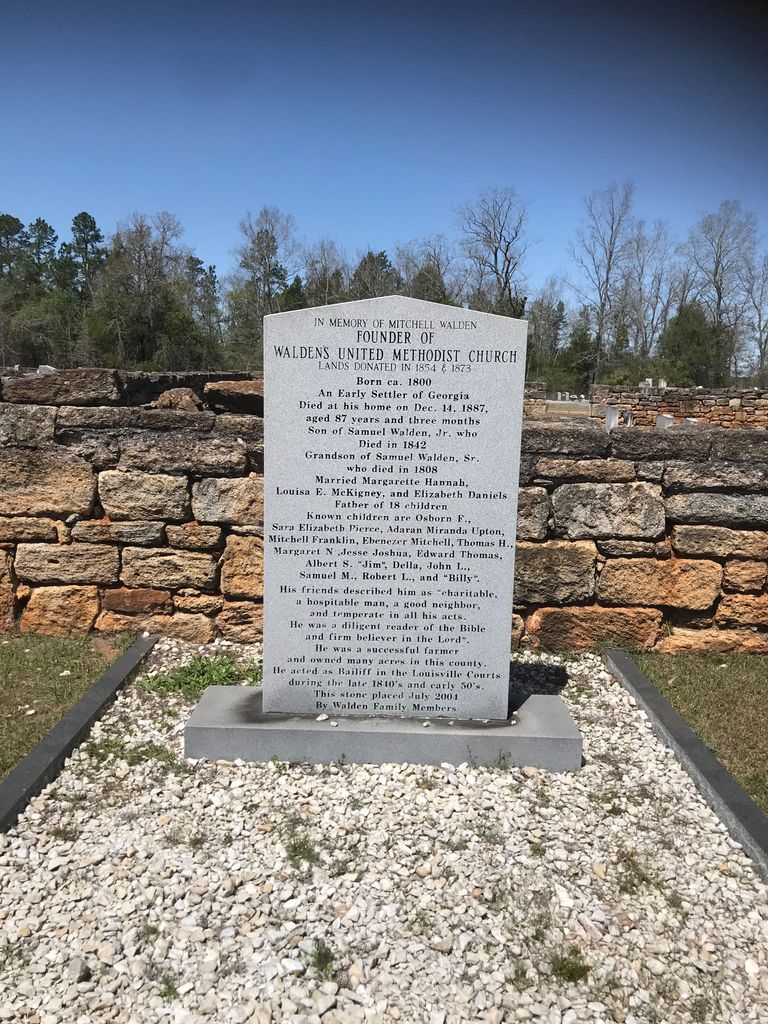
| Location | : | Avera, Jefferson County, USA |
| Coordinate | : | 33.1591988, -82.5158005 |
frequently asked questions (FAQ):
-
Where is Waldens United Methodist Church Cemetery?
Waldens United Methodist Church Cemetery is located at Avera, Jefferson County ,Georgia ,USA.
-
Waldens United Methodist Church Cemetery cemetery's updated grave count on graveviews.com?
0 memorials
-
Where are the coordinates of the Waldens United Methodist Church Cemetery?
Latitude: 33.1591988
Longitude: -82.5158005
Nearby Cemetories:
1. Bethlehem Cemetery
Jefferson County, USA
Coordinate: 33.1397018, -82.5291977
2. Ford Cemetery
Jefferson County, USA
Coordinate: 33.1724434, -82.4930565
3. Thompson-Gary Family Cemetery
Avera, Jefferson County, USA
Coordinate: 33.1326180, -82.5173410
4. Gethsemane Baptist Church Cemetery
Avera, Jefferson County, USA
Coordinate: 33.1869800, -82.5290100
5. Gospel Chapel Cemetery
Avera, Jefferson County, USA
Coordinate: 33.1909000, -82.5268870
6. Hadden-Padgett Cemetery
Jefferson County, USA
Coordinate: 33.1495000, -82.5560000
7. Thigpen Cemetery
Avera, Jefferson County, USA
Coordinate: 33.1973090, -82.5309680
8. Pleasant Grove Baptist Church Cemetery
Avera, Jefferson County, USA
Coordinate: 33.1974983, -82.5314026
9. Little Cemetery
Jefferson County, USA
Coordinate: 33.1244011, -82.4907990
10. Irby Cemetery
Avera, Jefferson County, USA
Coordinate: 33.2020000, -82.5298300
11. Stone Springfield AME Church Cemetery
Jefferson County, USA
Coordinate: 33.1482500, -82.4570090
12. Bothwell Cemetery
Jefferson County, USA
Coordinate: 33.1143990, -82.4831009
13. Hadden Memorial Marker
Avera, Jefferson County, USA
Coordinate: 33.1780000, -82.5755000
14. Sand Valley AME Church Cemetery
Avera, Jefferson County, USA
Coordinate: 33.1054100, -82.4936830
15. Ananias Beckworth Grave Site
Jefferson County, USA
Coordinate: 33.2157120, -82.4967370
16. Clark Cemetery
Stapleton, Jefferson County, USA
Coordinate: 33.2064018, -82.4717026
17. McWatty Cemetery
Jefferson County, USA
Coordinate: 33.1323300, -82.4501700
18. Stapleton Baptist Church Cemetery
Stapleton, Jefferson County, USA
Coordinate: 33.2127470, -82.4696040
19. Harmony Springs Mennonite Church Cemetery
Jefferson County, USA
Coordinate: 33.0993200, -82.5500190
20. Stapleton Memorial Gardens
Stapleton, Jefferson County, USA
Coordinate: 33.2132680, -82.4696070
21. Magnolia Baptist Church Cemetery
Louisville, Jefferson County, USA
Coordinate: 33.1025009, -82.5610962
22. Stapleton Cemetery
Stapleton, Jefferson County, USA
Coordinate: 33.2141991, -82.4672012
23. Glover Cemetery
Gibson, Glascock County, USA
Coordinate: 33.2144012, -82.5646973
24. Beasley-Perdue Cemetery
Stapleton, Jefferson County, USA
Coordinate: 33.2228440, -82.4823990