
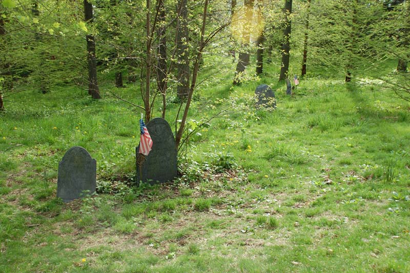
| Memorials | : | 2 |
| Location | : | Roslindale, Suffolk County, USA |
| Coordinate | : | 42.2931700, -71.1298900 |
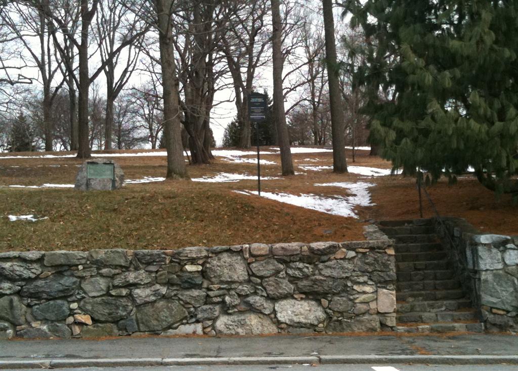
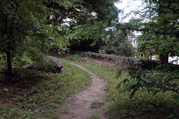
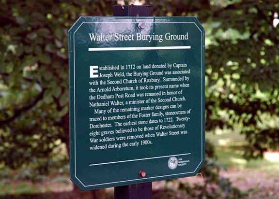
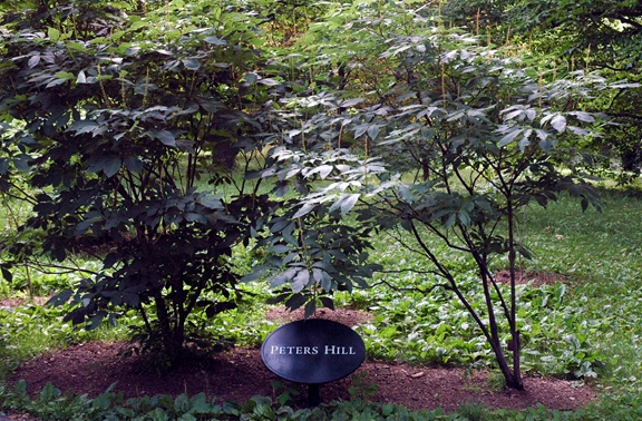
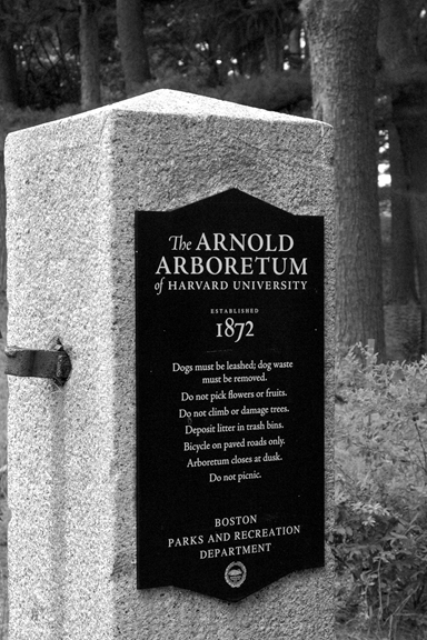
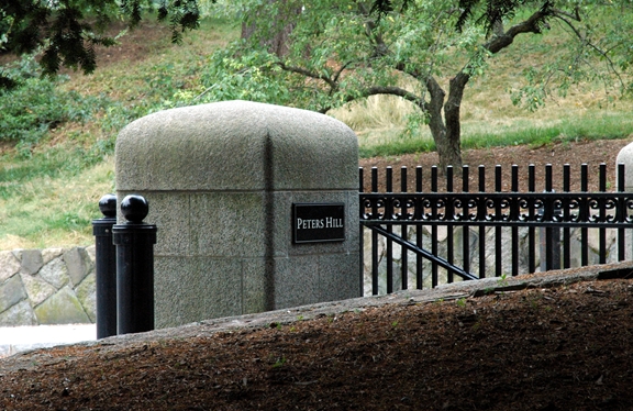
| Description | : | This 0.81-acre Burying Ground is within the Arnold Arboretum. It can be accessed from Walter Street by using the stones steps that lead up from street and/or from the walking path that is Peters Hill Road within the Arboretum. Signs marking the location of the burying ground are present at both entrances. This cemetery is referred to in the book "Vital Records of Roxbury, Massachusetts to 1850", Published by the New England Historic Genealogical Society, as G.R.3.. The town of Roxbury was annexed into, and is now a neighborhood of, the City of Boston in 1868. Roslindale was once... Read More |
frequently asked questions (FAQ):
-
Where is Walter Street Burying Ground?
Walter Street Burying Ground is located at Walter Street Roslindale, Suffolk County ,Massachusetts , 02131USA.
-
Walter Street Burying Ground cemetery's updated grave count on graveviews.com?
2 memorials
-
Where are the coordinates of the Walter Street Burying Ground?
Latitude: 42.2931700
Longitude: -71.1298900
Nearby Cemetories:
1. Tollgate Cemetery
Jamaica Plain, Suffolk County, USA
Coordinate: 42.2949800, -71.1170700
2. Daughters of Saint Paul Mausoleum
Boston, Suffolk County, USA
Coordinate: 42.3072900, -71.1357700
3. Walnut Hills Cemetery
Brookline, Norfolk County, USA
Coordinate: 42.3022003, -71.1466980
4. Saint Clare Monastery
Jamaica Plain, Suffolk County, USA
Coordinate: 42.3078890, -71.1221000
5. Saint Michael Cemetery
Boston, Suffolk County, USA
Coordinate: 42.2879500, -71.1092900
6. Forest Hills Cemetery and Crematory
Jamaica Plain, Suffolk County, USA
Coordinate: 42.2982000, -71.1077400
7. Mount Calvary Cemetery
Roslindale, Suffolk County, USA
Coordinate: 42.2781300, -71.1151700
8. First Church in Jamaica Plain Cemetery
Jamaica Plain, Suffolk County, USA
Coordinate: 42.3097600, -71.1159400
9. Oak Lawn Cemetery
Roslindale, Suffolk County, USA
Coordinate: 42.2761700, -71.1126600
10. Mount Hope Cemetery
Boston, Suffolk County, USA
Coordinate: 42.2837791, -71.1025009
11. New Calvary Cemetery
Mattapan, Suffolk County, USA
Coordinate: 42.2806282, -71.1043320
12. Westerly Burying Ground
West Roxbury, Suffolk County, USA
Coordinate: 42.2813200, -71.1583100
13. Holy Cross Greek Orthodox School Of Theology
Brookline, Norfolk County, USA
Coordinate: 42.3183600, -71.1299300
14. Holy Transfiguration Monastery Cemetery
Brookline, Norfolk County, USA
Coordinate: 42.3196800, -71.1348100
15. Mount Benedict Cemetery
West Roxbury, Suffolk County, USA
Coordinate: 42.2982700, -71.1686600
16. Saint Joseph Cemetery
West Roxbury, Suffolk County, USA
Coordinate: 42.2961400, -71.1719200
17. Mount Lebanon Cemetery
West Roxbury, Suffolk County, USA
Coordinate: 42.2933830, -71.1763860
18. Walnut Street Cemetery
Brookline, Norfolk County, USA
Coordinate: 42.3275795, -71.1284103
19. Beth El Cemetery
West Roxbury, Suffolk County, USA
Coordinate: 42.2928700, -71.1769800
20. Crawford Street Memorial Park
West Roxbury, Suffolk County, USA
Coordinate: 42.2924000, -71.1780300
21. Shara Tfilo Cemetery
West Roxbury, Suffolk County, USA
Coordinate: 42.2921400, -71.1791400
22. Kopaigorod Cemetery
West Roxbury, Suffolk County, USA
Coordinate: 42.2920200, -71.1793300
23. Puritan Cemetery
West Roxbury, Suffolk County, USA
Coordinate: 42.2916900, -71.1798900
24. The Gardens Cemetery
West Roxbury, Suffolk County, USA
Coordinate: 42.2870580, -71.1793360