
| Memorials | : | 160 |
| Location | : | Warsaw, Miasto Warszawa, Poland |
| Coordinate | : | 52.2394000, 21.0002000 |
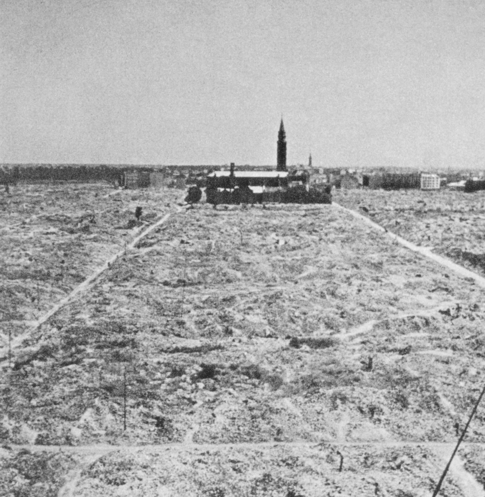
| Description | : | The Warsaw Ghetto was established by the occupying German army on October 12, 1940. All Jewish residents of Warsaw were forced to move into the ghetto, which Germans sealed off from the rest of the city in November 1940. The ghetto was enclosed by a wall that was over 10 feet high, topped with barbed wire. As more Jews from surrounding areas were forced into the ghetto, its population was estimated to be over 400,000 Jews. German authorities forced ghetto residents to live in an area of 1.3 square miles. Food allotments rationed to the ghetto by German civilians were... Read More |
frequently asked questions (FAQ):
-
Where is Warsaw Ghetto Burial Ground?
Warsaw Ghetto Burial Ground is located at Warsaw, Miasto Warszawa ,Mazowieckie ,Poland.
-
Warsaw Ghetto Burial Ground cemetery's updated grave count on graveviews.com?
160 memorials
-
Where are the coordinates of the Warsaw Ghetto Burial Ground?
Latitude: 52.2394000
Longitude: 21.0002000
Nearby Cemetories:
1. Kościół Przemienienia Pańskiego w Warszawie
Miasto Warszawa, Poland
Coordinate: 52.2468613, 21.0096779
2. Holy Cross Church
Warsaw, Miasto Warszawa, Poland
Coordinate: 52.2387410, 21.0167830
3. Kościół Wniebowzięcia NMP i św. Józefa w Warszawie
Warsaw, Miasto Warszawa, Poland
Coordinate: 52.2434347, 21.0157486
4. Bazylika św. Jana Chrzciciela
Warsaw, Miasto Warszawa, Poland
Coordinate: 52.2488500, 21.0136200
5. Kościół św. Klemensa Hofbauera w Warszawie
Warsaw, Miasto Warszawa, Poland
Coordinate: 52.2342119, 20.9765844
6. Cmentarz Żydowski
Warsaw, Miasto Warszawa, Poland
Coordinate: 52.2447200, 20.9766300
7. Protestant Reformed Cemetery
Warsaw, Miasto Warszawa, Poland
Coordinate: 52.2393420, 20.9737490
8. Cmentarz Ewangelicko-Reformowany
Warsaw, Miasto Warszawa, Poland
Coordinate: 52.2394700, 20.9724500
9. Kościół św. Aleksandra w Warszawie
Warsaw, Miasto Warszawa, Poland
Coordinate: 52.2290857, 21.0223776
10. Cmentarz Ewangelicko-Augsburski
Warsaw, Miasto Warszawa, Poland
Coordinate: 52.2414900, 20.9723200
11. Cmentarz Powązkowski
Warsaw, Miasto Warszawa, Poland
Coordinate: 52.2513850, 20.9705810
12. Saint Kostka's Church's Cemetery
Warsaw, Miasto Warszawa, Poland
Coordinate: 52.2674104, 20.9843549
13. Powazki Military Cemetery
Warsaw, Miasto Warszawa, Poland
Coordinate: 52.2585960, 20.9528200
14. Cmentarz Wolski Prawosławny
Warsaw, Miasto Warszawa, Poland
Coordinate: 52.2295540, 20.9451560
15. Cmentarz Przykościelny w Warszawie na Woli
Warsaw, Miasto Warszawa, Poland
Coordinate: 52.2271394, 20.9438347
16. Soviet Military Cemetery - Warsaw
Warsaw, Miasto Warszawa, Poland
Coordinate: 52.2025000, 20.9867000
17. Cmentarz Powstańców Warszawy
Warsaw, Miasto Warszawa, Poland
Coordinate: 52.2263192, 20.9341208
18. Cmentarz Bródnowski
Warsaw, Miasto Warszawa, Poland
Coordinate: 52.2788890, 21.0361110
19. Cmentarz Mariawicki w Warszawie
Warsaw, Miasto Warszawa, Poland
Coordinate: 52.2239221, 20.9306874
20. Cmentarz Wawrzyszewski
Warsaw, Miasto Warszawa, Poland
Coordinate: 52.2791530, 20.9271290
21. Cmentarz Czerniakowski
Warsaw, Miasto Warszawa, Poland
Coordinate: 52.1878800, 21.0628700
22. Cmentarz Parafialny w Warszawie-Włochach
Warsaw, Miasto Warszawa, Poland
Coordinate: 52.1974522, 20.9158258
23. Cmentarz Parafialny w Warszawie-Służew - Nowy
Warsaw, Miasto Warszawa, Poland
Coordinate: 52.1726957, 21.0342999
24. Cmentarz Parafialny w Warszawie-Ursus
Warsaw, Miasto Warszawa, Poland
Coordinate: 52.1946000, 20.9122820