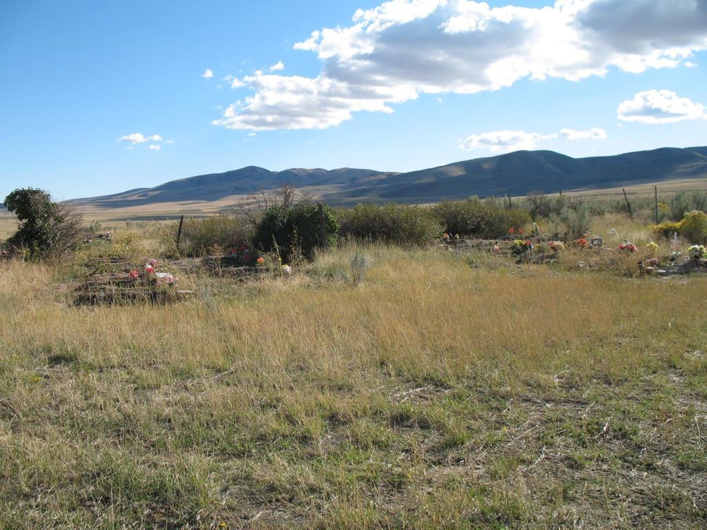
| Memorials | : | 0 |
| Location | : | Washakie, Box Elder County, USA |
| Coordinate | : | 41.9453011, -112.2332993 |
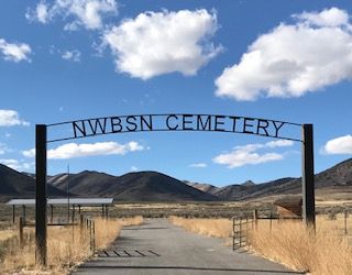
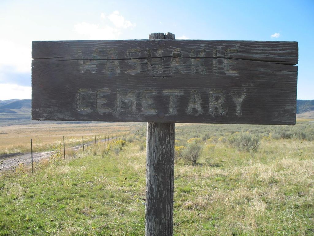
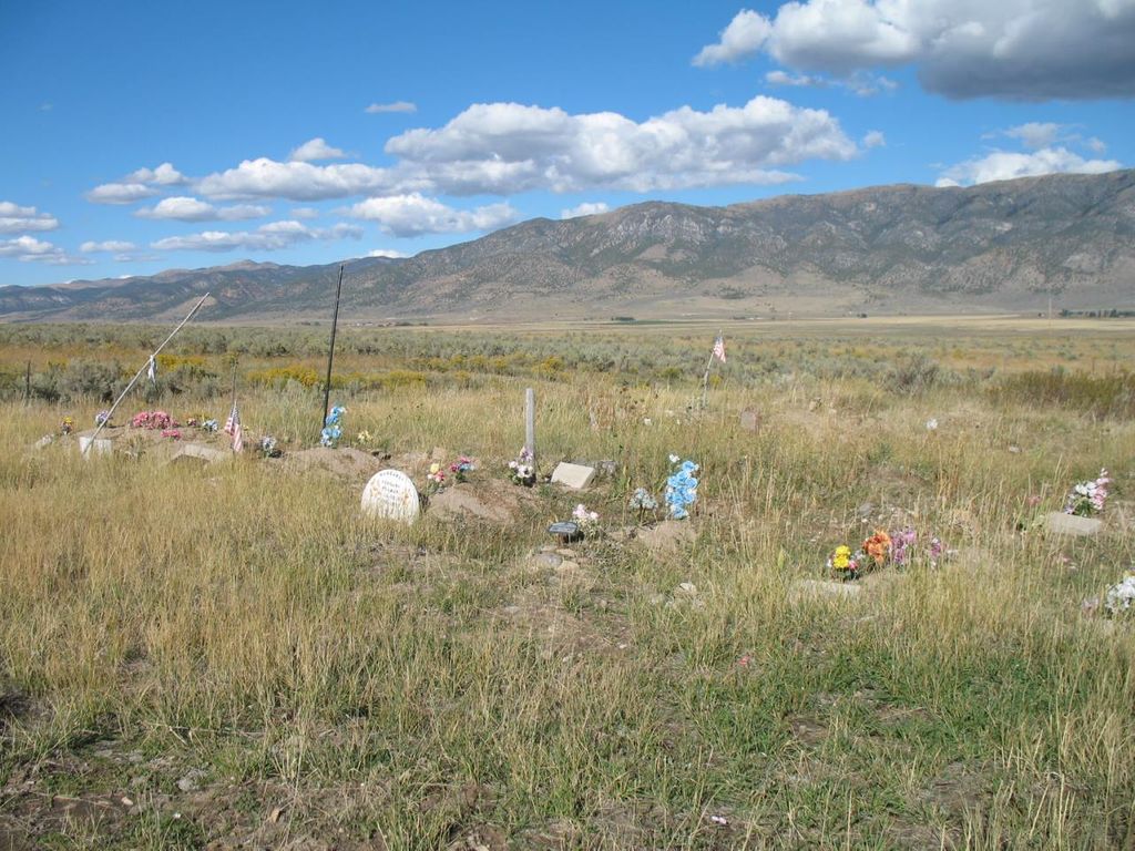
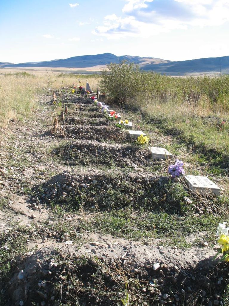
| Description | : | The cemetery is located north of 24000 N and west of 8000 W. The U.S. Geological Survey (USGS) Geographic Names Information System (GNIS) feature ID for the cemetery is 1447017 (Northwestern Shoshoni Tribal Cemetery / Washakie Cemetery). |
frequently asked questions (FAQ):
-
Where is Washakie Cemetery?
Washakie Cemetery is located at 8720 West 24000 North Washakie, Box Elder County ,Utah , 84331USA.
-
Washakie Cemetery cemetery's updated grave count on graveviews.com?
0 memorials
-
Where are the coordinates of the Washakie Cemetery?
Latitude: 41.9453011
Longitude: -112.2332993
Nearby Cemetories:
1. Portage Cemetery
Portage, Box Elder County, USA
Coordinate: 41.9763985, -112.2566986
2. Early Plymouth Cemetery
Washakie, Box Elder County, USA
Coordinate: 41.9464417, -112.1716461
3. Oneida County Burial Site
Oneida County, USA
Coordinate: 42.0014572, -112.1986008
4. Plymouth Cemetery
Plymouth, Box Elder County, USA
Coordinate: 41.8857994, -112.1742020
5. James Barnet Cole Burial Ground
Plymouth, Box Elder County, USA
Coordinate: 41.8786000, -112.0943000
6. Clarkston City Cemetery
Clarkston, Cache County, USA
Coordinate: 41.9313354, -112.0404587
7. Fielding City Cemetery
Fielding, Box Elder County, USA
Coordinate: 41.8210983, -112.1288986
8. Cherry Creek Cemetery
Cherry Creek, Oneida County, USA
Coordinate: 42.0950737, -112.2100677
9. Riverside Cemetery
Riverside, Box Elder County, USA
Coordinate: 41.7882996, -112.1408005
10. Samaria City Cemetery
Samaria, Oneida County, USA
Coordinate: 42.1122131, -112.3486023
11. Newton Cemetery
Newton, Cache County, USA
Coordinate: 41.8806000, -111.9924011
12. Cornish Cemetery
Cornish, Cache County, USA
Coordinate: 41.9742012, -111.9772034
13. Garland Cemetery
Garland, Box Elder County, USA
Coordinate: 41.7557983, -112.1753006
14. East Garland Cemetery
Garland, Box Elder County, USA
Coordinate: 41.7679291, -112.1194611
15. Beaver Dam Cemetery
Beaver Dam, Box Elder County, USA
Coordinate: 41.8039000, -112.0475000
16. Weston City Cemetery
Weston, Franklin County, USA
Coordinate: 42.0418930, -111.9827042
17. Howell Cemetery
Howell, Box Elder County, USA
Coordinate: 41.7959000, -112.4360000
18. Trenton Cemetery
Trenton, Cache County, USA
Coordinate: 41.9063988, -111.9516983
19. Pleasant View Cemetery
Pleasantview, Oneida County, USA
Coordinate: 42.1545320, -112.3370690
20. Malad City Cemetery
Malad City, Oneida County, USA
Coordinate: 42.1796989, -112.2313995
21. Palmer Ranch Family Cemetery
Malad City, Oneida County, USA
Coordinate: 42.1762230, -112.3208040
22. Valley View Cemetery
Bothwell, Box Elder County, USA
Coordinate: 41.7093735, -112.2971191
23. Poulsen Family Cemetery
Petersboro, Cache County, USA
Coordinate: 41.7665291, -112.0113602
24. Dayton Cemetery
Dayton, Franklin County, USA
Coordinate: 42.1084518, -111.9888916

