| Memorials | : | 0 |
| Location | : | Waterford, Erie County, USA |
| Coordinate | : | 42.0275400, -79.9286900 |
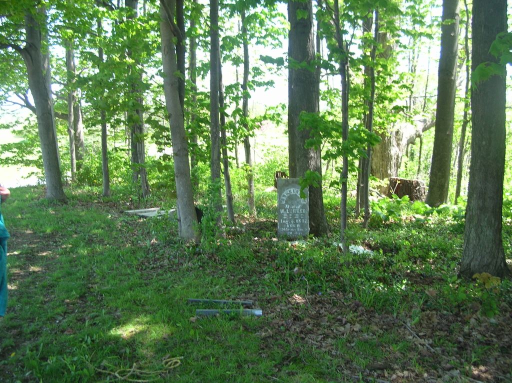
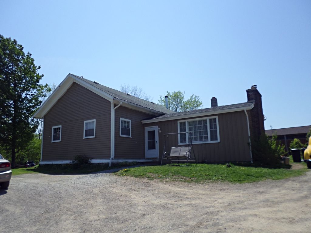
| Description | : | This burial plot is behind the Old Weed School near Weed's Corners, Erie Co, PA. From "History and Genealogy of the Yaple Family" by Grace Vandervolt Crowe and Flora Yaple, published in 1977: "In 1920 when I (Grace Vandervolt Crowe) was teaching at Weed's School, at non time all the children just disappeared for awhile. When I investigated, I found them all in the burial grounds East and South of the school eating their lunch. This was the burial grounds for the Weeds and Yaples. As that portion of Aunt Nellie Weed's farm was given for a cemetery, and some was donated... Read More |
frequently asked questions (FAQ):
-
Where is Weed School Burial Plot?
Weed School Burial Plot is located at 10990 Lake Pleasant Road Waterford, Erie County ,Pennsylvania , 16441USA.
-
Weed School Burial Plot cemetery's updated grave count on graveviews.com?
0 memorials
-
Where are the coordinates of the Weed School Burial Plot?
Latitude: 42.0275400
Longitude: -79.9286900
Nearby Cemetories:
1. Phillipsville Union Cemetery
Phillipsville, Erie County, USA
Coordinate: 42.0288010, -79.9011383
2. Saint Paul's Evangelical Church Cemetery
Erie, Erie County, USA
Coordinate: 42.0658600, -79.9467690
3. White Cemetery
Erie County, USA
Coordinate: 41.9973000, -79.8856000
4. Bonnell Cemetery
Erie County, USA
Coordinate: 41.9880981, -79.9574966
5. Old Butler Burial Ground
Wattsburg, Erie County, USA
Coordinate: 42.0012300, -79.8758500
6. Butler Family Cemetery
McLane, Erie County, USA
Coordinate: 42.0012140, -79.8758020
7. Valley Cemetery
Waterford Township, Erie County, USA
Coordinate: 41.9874830, -79.8945000
8. Mount of Olives Cemetery
Erie, Erie County, USA
Coordinate: 42.0649986, -79.9713974
9. Saint Boniface Cemetery
Erie, Erie County, USA
Coordinate: 42.0673000, -79.9705000
10. Nichols Cemetery
Godard, Erie County, USA
Coordinate: 42.0355300, -80.0075100
11. Wales Cemetery
Erie, Erie County, USA
Coordinate: 42.0877000, -79.9025000
12. Kuhl Road Cemetery
Erie County, USA
Coordinate: 42.0887420, -79.9646060
13. Lutheran Cemetery
Erie, Erie County, USA
Coordinate: 42.0888060, -79.9645640
14. Drake Cemetery
Erie County, USA
Coordinate: 41.9971000, -79.8303000
15. Middlebrook Churchyard
Erie County, USA
Coordinate: 42.0403680, -79.8217430
16. Lowville Cemetery
Wattsburg, Erie County, USA
Coordinate: 42.0241000, -79.8178000
17. Allen Cemetery
Wattsburg, Erie County, USA
Coordinate: 41.9969630, -79.8200110
18. Saint Matthews in the Woods Cemetery
Erie County, USA
Coordinate: 42.0319000, -80.0463000
19. Summit United Methodist Churchyard
Erie, Erie County, USA
Coordinate: 42.0313070, -80.0493000
20. Waterford Cemetery
Waterford, Erie County, USA
Coordinate: 41.9445000, -79.9754000
21. Mary Queen of Peace Cemetery
Erie, Erie County, USA
Coordinate: 42.0853000, -80.0299000
22. Wattsburg Cemetery
Wattsburg, Erie County, USA
Coordinate: 42.0038000, -79.8022000
23. Sprague Cemetery (Defunct)
Wattsburg, Erie County, USA
Coordinate: 42.0043750, -79.8014260
24. Wintergreen Gorge Cemetery
Harborcreek Township, Erie County, USA
Coordinate: 42.1108017, -80.0010986


