
| Memorials | : | 1 |
| Location | : | Columbia County, USA |
| Coordinate | : | 46.0327000, -122.8935000 |
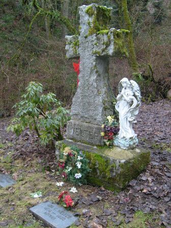
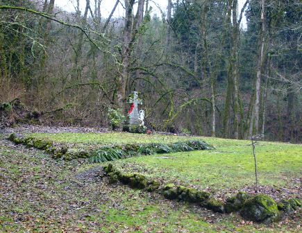
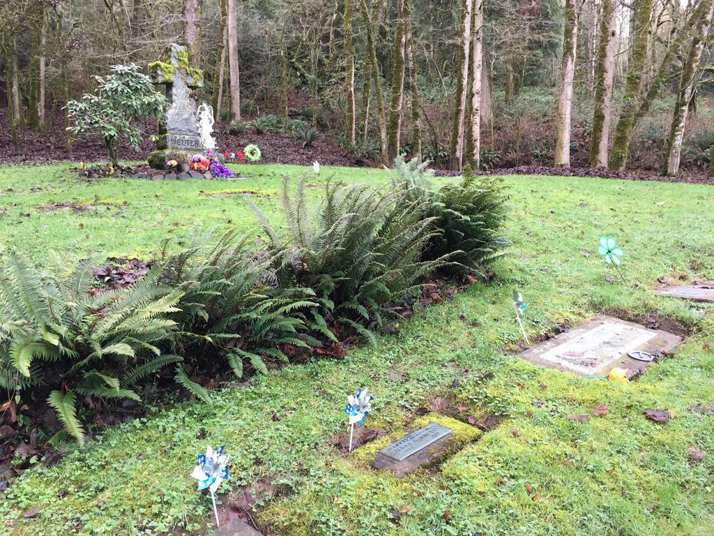
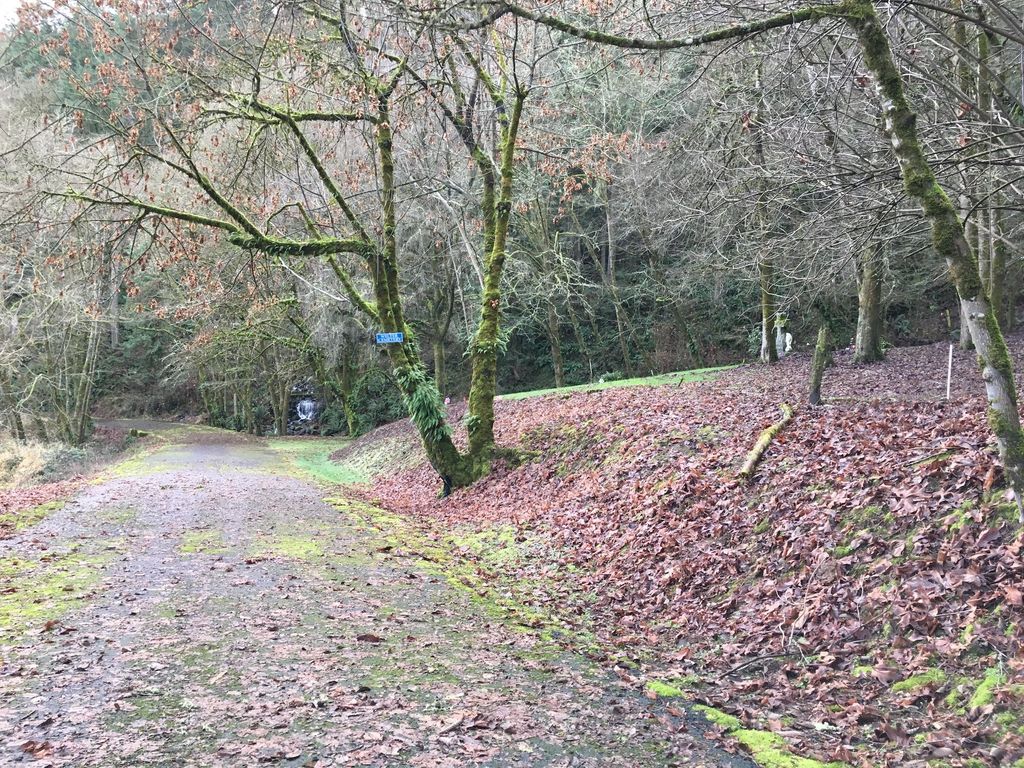
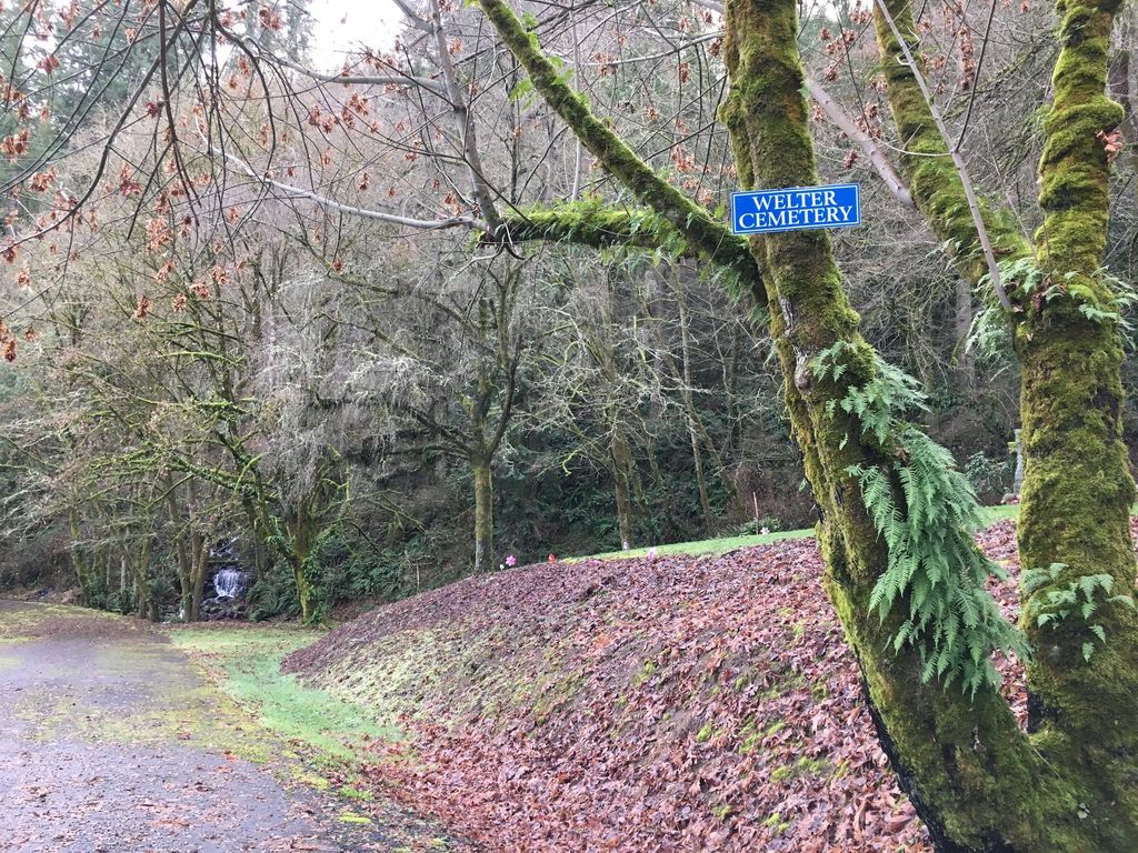
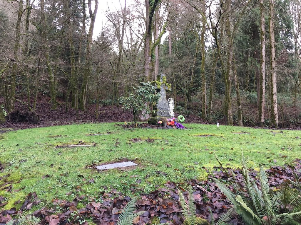
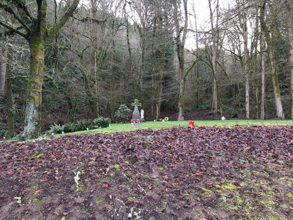
| Description | : | Located on the PG & E property site of the old Trojan Power Plant north of Goble, Columbia County, Oregon on the old Columbia River Highway. This cemetery is fenced and private but can be seen by the old highway. In 1898 the Frank Welter family rented 400 acres of land from the railroad and operated a dairy and commercially fished. They had 13 children. In 1916 the railroad sold the land to the Trojan Power Company. Family members continued to live there until the Trojan Company sold the property to the Portland General Electric Compand and... Read More |
frequently asked questions (FAQ):
-
Where is Welter Family Cemetery?
Welter Family Cemetery is located at Columbia County ,Oregon ,USA.
-
Welter Family Cemetery cemetery's updated grave count on graveviews.com?
1 memorials
-
Where are the coordinates of the Welter Family Cemetery?
Latitude: 46.0327000
Longitude: -122.8935000
Nearby Cemetories:
1. Prescott Cemetery
Columbia County, USA
Coordinate: 46.0332985, -122.8930969
2. Neer City Cemetery
Goble, Columbia County, USA
Coordinate: 46.0250015, -122.8886032
3. Kalama IOOF Cemetery
Kalama, Cowlitz County, USA
Coordinate: 46.0233380, -122.8372450
4. Mount Pleasant Cemetery
Kelso, Cowlitz County, USA
Coordinate: 46.0536003, -122.8305969
5. Knights of Pythias Cemetery
Rainier, Columbia County, USA
Coordinate: 46.0786018, -122.9289017
6. Dibblee House Burial Ground
Rainier, Columbia County, USA
Coordinate: 46.0887130, -122.9331040
7. Kobel Cemetery
Goble, Columbia County, USA
Coordinate: 45.9832993, -122.9569016
8. Schoolmasters Grave
Rainier, Columbia County, USA
Coordinate: 46.0899200, -122.9423800
9. Rose Valley Cemetery
Kelso, Cowlitz County, USA
Coordinate: 46.0964012, -122.8452988
10. Jones Family Cemetery
Rainier, Columbia County, USA
Coordinate: 45.9685120, -122.9489370
11. Shiloh Basin Cemetery
Rainier, Columbia County, USA
Coordinate: 45.9681015, -122.9486008
12. Gilbreath-Moeck Grave
Rainier, Columbia County, USA
Coordinate: 46.0868480, -122.9819160
13. Mountain View Cemetery
Rainier, Columbia County, USA
Coordinate: 46.0267770, -123.0162610
14. Woodbine Cemetery
Rainier, Columbia County, USA
Coordinate: 46.0825540, -122.9979860
15. Apiary Cemetery
Rainier, Columbia County, USA
Coordinate: 46.0102997, -123.0196991
16. Martins Bluff Cemetery
Cowlitz County, USA
Coordinate: 45.9610340, -122.8035450
17. Green Mountain Cemetery
Rainier, Columbia County, USA
Coordinate: 46.0982890, -122.9944330
18. Hudson Cemetery
Rainier, Columbia County, USA
Coordinate: 46.0982560, -122.9967880
19. Girgenson Cemetery
Apiary, Columbia County, USA
Coordinate: 45.9969100, -123.0244300
20. Gore Cemetery
Deer Island, Columbia County, USA
Coordinate: 45.9294100, -122.9117760
21. Coffin Rock Burial Ground
Longview, Cowlitz County, USA
Coordinate: 46.1284000, -122.9890000
22. Catlin Cemetery
Kelso, Cowlitz County, USA
Coordinate: 46.1507550, -122.9180490
23. Cowlitz View Memorial Gardens
Kelso, Cowlitz County, USA
Coordinate: 46.1530210, -122.8955570
24. Kinder Cemetery
Deer Island, Columbia County, USA
Coordinate: 45.9138985, -122.8236008