
| Memorials | : | 0 |
| Location | : | Daniels County, USA |
| Coordinate | : | 48.6648000, -105.8567700 |
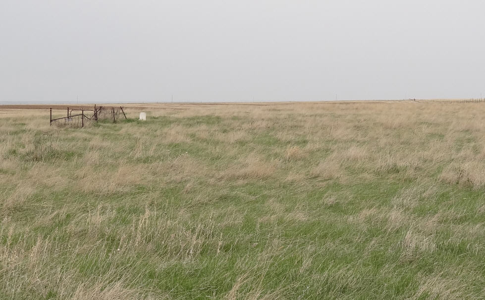
| Description | : | West Fork Community Cemetery. This is all that is left of evidence of the West Fork Cemetery. There are three graves that were able to be identified. The remaining graves had been marked with wooden crosses and due to a prairie fire that swept through the area some many years back, the wooden crosses were consumed by the fire. There are numerous depressions on the ground where graves are located. This cemetery is hard to find. One must pass over private land to get to it and must know where to look. This cemetery is located 1 1/2 miles south... Read More |
frequently asked questions (FAQ):
-
Where is West Fork Cemetery?
West Fork Cemetery is located at Daniels County ,Montana ,USA.
-
West Fork Cemetery cemetery's updated grave count on graveviews.com?
0 memorials
-
Where are the coordinates of the West Fork Cemetery?
Latitude: 48.6648000
Longitude: -105.8567700
Nearby Cemetories:
1. Evangelical Mennonite Brethren Church Cemetery
Lustre, Valley County, USA
Coordinate: 48.4500000, -105.9245000
2. Larslan Cemetery
Valley County, USA
Coordinate: 48.5639000, -106.1744003
3. Fairview Cemetery
Daniels County, USA
Coordinate: 48.6431007, -105.4972000
4. Bethel Lustre Mennonite Cemetery
Lustre, Valley County, USA
Coordinate: 48.4085000, -105.9995000
5. Lustre Mennonite Brethren Cemetery
Lustre, Valley County, USA
Coordinate: 48.3931670, -105.9796380
6. Volt Cemetery
Volt, Roosevelt County, USA
Coordinate: 48.3775000, -105.7160500
7. Daniels County Cemetery
Scobey, Daniels County, USA
Coordinate: 48.7942009, -105.4421997
8. Glentana Cemetery
Glentana, Valley County, USA
Coordinate: 48.8525000, -106.2556000
9. Bethel Wolf Point Mennonite Church Cemetery
Wolf Point, Roosevelt County, USA
Coordinate: 48.3498000, -105.6980000
10. Clark Family Cemetery
Opheim, Valley County, USA
Coordinate: 48.8848110, -106.3363270
11. Union Baylor Cemetery
Baylor, Valley County, USA
Coordinate: 48.6645510, -106.4443020
12. Lawndale Cemetery
Opheim, Valley County, USA
Coordinate: 48.8521996, -106.3918991
13. Saint Michaels Cemetery
Daniels County, USA
Coordinate: 48.9500008, -105.4244003
14. Poplar Valley Cemetery
Rockglen, Assiniboia Census Division, Canada
Coordinate: 49.1012550, -105.8785270
15. Orville Cemetery
Flaxville, Daniels County, USA
Coordinate: 48.7364006, -105.2016983
16. Flaxville Cemetery
Flaxville, Daniels County, USA
Coordinate: 48.8102989, -105.1697006
17. Saint John Roman Catholic Cemetery
Rockglen, Assiniboia Census Division, Canada
Coordinate: 49.1448290, -105.9688210
18. Saint John Lutheran Cemetery
Coronach, Assiniboia Census Division, Canada
Coordinate: 49.1308190, -105.6129560
19. Coronach Cemetery
Coronach, Assiniboia Census Division, Canada
Coordinate: 49.1118600, -105.5017090
20. Roanwood Cemetery
Valley County, USA
Coordinate: 48.9516983, -106.4969025
21. East Poplar Cemetery
Coronach, Assiniboia Census Division, Canada
Coordinate: 49.0649250, -105.3677700
22. Rockglen Cemetery
Rockglen, Assiniboia Census Division, Canada
Coordinate: 49.1757800, -105.9406500
23. Fife Lake Municipal Cemetery
Fife Lake, Assiniboia Census Division, Canada
Coordinate: 49.1742300, -105.7352760
24. Pleasant Prairie Cemetery
Daniels County, USA
Coordinate: 48.5635986, -105.0871964