
| Memorials | : | 1 |
| Location | : | Union County, USA |
| Coordinate | : | 37.5849991, -89.1241989 |
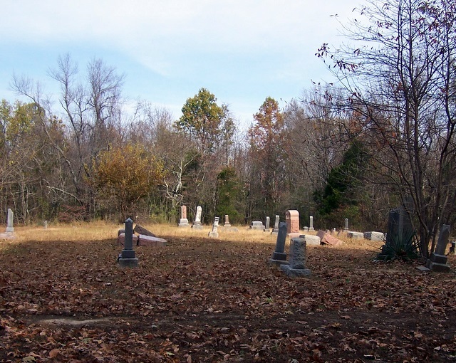
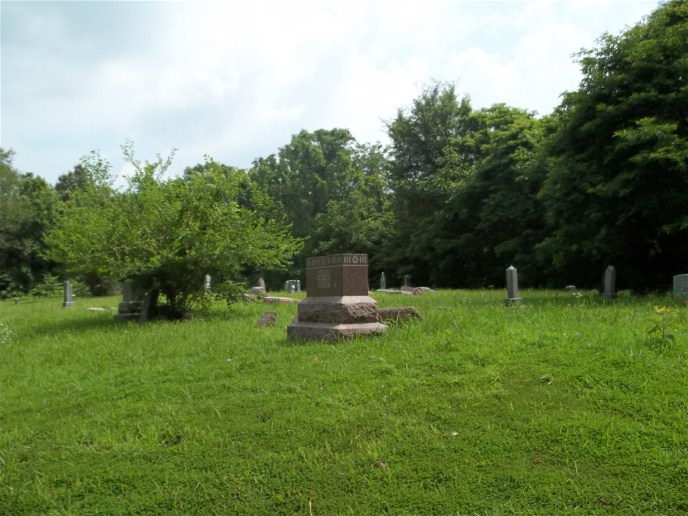
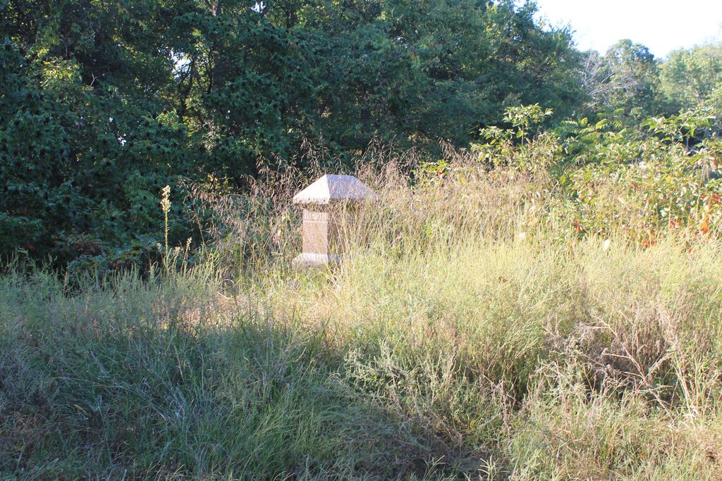
| Description | : | West Liberty Cemetery may be accessed on Progress Lane from Water Valley Road. The lane is a narrow, well-maintained gravel road which terminates with a turn around at the cemetery. The road extension shown on the map is no longer open to vehicles. The cemetery is located just north of the extinct village of Progress, and is also known as Progress Cemetery. |
frequently asked questions (FAQ):
-
Where is West Liberty Cemetery?
West Liberty Cemetery is located at Progress Lane Union County ,Illinois , 62920USA.
-
West Liberty Cemetery cemetery's updated grave count on graveviews.com?
1 memorials
-
Where are the coordinates of the West Liberty Cemetery?
Latitude: 37.5849991
Longitude: -89.1241989
Nearby Cemetories:
1. Antioch Cemetery
Lick Creek, Union County, USA
Coordinate: 37.5924988, -89.1492004
2. Treece Cemetery
Union County, USA
Coordinate: 37.5639000, -89.1418991
3. Baker Cemetery
Williamson County, USA
Coordinate: 37.6124992, -89.1119003
4. Old Pleasant Hill Cemetery
Williamson County, USA
Coordinate: 37.6175003, -89.1231003
5. Pleasant Hill Cemetery
Williamson County, USA
Coordinate: 37.6178017, -89.1144028
6. Water Valley Cemetery
Cobden, Union County, USA
Coordinate: 37.5692470, -89.1681300
7. Fellowship Cemetery
Lick Creek, Union County, USA
Coordinate: 37.5672430, -89.0795970
8. Keller Cemetery
Lick Creek, Union County, USA
Coordinate: 37.5360985, -89.1160965
9. Gentry Cemetery
Carterville, Williamson County, USA
Coordinate: 37.6366997, -89.1200027
10. Mount Hebron Cemetery
Union County, USA
Coordinate: 37.5601450, -89.0572750
11. Oak Cemetery
Williamson County, USA
Coordinate: 37.6431007, -89.1141968
12. Lockard Cemetery
Union County, USA
Coordinate: 37.5783005, -89.2011032
13. Ebenezer Hall Cemetery
Lick Creek, Union County, USA
Coordinate: 37.5261002, -89.0982971
14. Walker Cemetery
Union County, USA
Coordinate: 37.5788994, -89.2067032
15. Wall Cemetery
Union County, USA
Coordinate: 37.5177994, -89.1166992
16. Zion Methodist Cemetery
Carbondale, Jackson County, USA
Coordinate: 37.6434020, -89.1726480
17. Evergreen Cemetery
Makanda, Jackson County, USA
Coordinate: 37.6152992, -89.2043991
18. Lick Creek Cemetery
Union County, USA
Coordinate: 37.5213600, -89.0786300
19. Wilkins Cemetery
Makanda, Jackson County, USA
Coordinate: 37.6133765, -89.2100770
20. Kelly Cemetery
Cobden, Union County, USA
Coordinate: 37.5266991, -89.1832962
21. Walker Cemetery
Cobden, Union County, USA
Coordinate: 37.5790614, -89.2189265
22. Johnson Cemetery
Makanda, Jackson County, USA
Coordinate: 37.6094017, -89.2200012
23. Sitter Cemetery
Union County, USA
Coordinate: 37.5060997, -89.1474991
24. Saratoga Cemetery
Union County, USA
Coordinate: 37.5080986, -89.1639023