
| Memorials | : | 0 |
| Location | : | Curryville, Gordon County, USA |
| Coordinate | : | 34.4694400, -85.0819400 |
frequently asked questions (FAQ):
-
Where is West Union Baptist Church Cemetery?
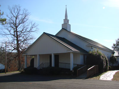
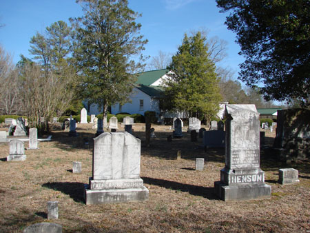
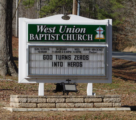
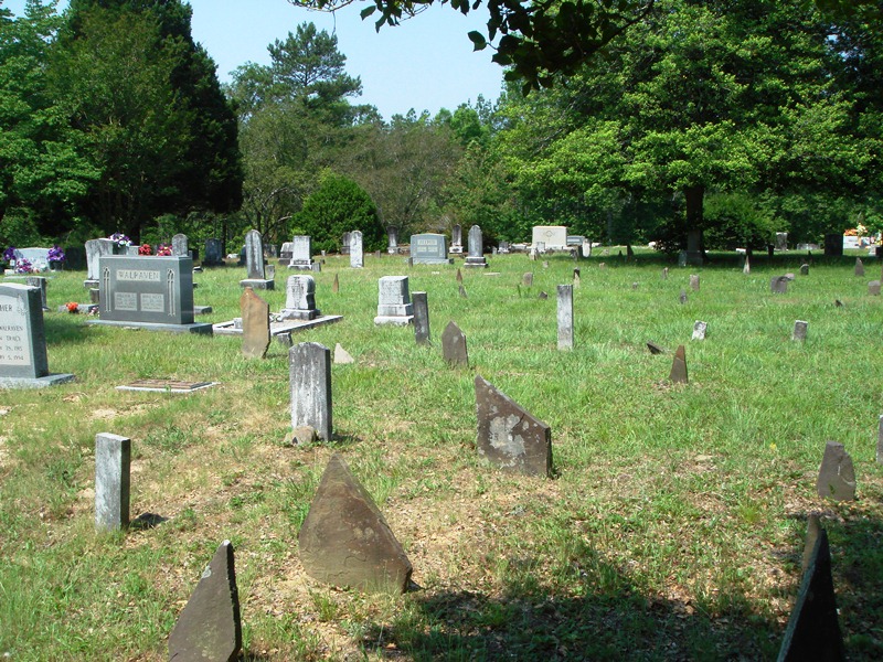
West Union Baptist Church Cemetery is located at Curryville, Gordon County ,Georgia ,USA.
-
West Union Baptist Church Cemetery cemetery's updated grave count on graveviews.com?
0 memorials
-
Where are the coordinates of the West Union Baptist Church Cemetery?
Latitude: 34.4694400
Longitude: -85.0819400
Nearby Cemetories:
1. Mount Zion Baptist Church Cemetery #2
Curryville, Gordon County, USA
Coordinate: 34.4523600, -85.0615600
2. Mount Zion Church Cemetery
Calhoun County, USA
Coordinate: 34.4523990, -85.0613090
3. Mount Zion Baptist Church Cemetery
Calhoun, Gordon County, USA
Coordinate: 34.4521760, -85.0615500
4. Curryville Baptist Church Cemetery
Curryville, Gordon County, USA
Coordinate: 34.4432300, -85.0811900
5. Mount Pleasant Cemetery
Floyd County, USA
Coordinate: 34.4636002, -85.1156006
6. Everett Springs Baptist Church Cemetery
Everett Springs, Floyd County, USA
Coordinate: 34.4923170, -85.1133480
7. New Everett Springs Cemetery
Floyd County, USA
Coordinate: 34.4928017, -85.1132965
8. New Hope Cemetery
Floyd County, USA
Coordinate: 34.4380989, -85.1057968
9. Old Everett Springs Cemetery
Floyd County, USA
Coordinate: 34.4953003, -85.1153030
10. Fellowship Baptist Church Cemetery
Oostanaula, Gordon County, USA
Coordinate: 34.4616300, -85.0363900
11. Mount Tabor Cemetery
Floyd County, USA
Coordinate: 34.5003480, -85.1156920
12. Old Everett Springs Cemetery
Everett Springs, Floyd County, USA
Coordinate: 34.5046960, -85.1175640
13. Earle Cemetery
Floyd County, USA
Coordinate: 34.4796982, -85.1369019
14. King Cemetery
Rosedale, Floyd County, USA
Coordinate: 34.4261017, -85.1089020
15. Reeves Cemetery
Reeves, Gordon County, USA
Coordinate: 34.4597015, -85.0227966
16. Oostanaula Baptist Church Cemetery
Gordon County, USA
Coordinate: 34.4873900, -85.0256800
17. Dodd Cemetery
Plainville, Gordon County, USA
Coordinate: 34.4160995, -85.0877991
18. Plainville Church of God of Prophecy Cemetery
Plainville, Gordon County, USA
Coordinate: 34.4130130, -85.0667750
19. Sisk Cemetery
Plainville, Gordon County, USA
Coordinate: 34.4082550, -85.0823840
20. Scott Cemetery
Plainville, Gordon County, USA
Coordinate: 34.4164009, -85.0406036
21. Mount Vernon Cemetery
Floyd County, USA
Coordinate: 34.4007988, -85.1082993
22. Floyd Springs Methodist Church Cemetery
Armuchee, Floyd County, USA
Coordinate: 34.4249992, -85.1557999
23. Franklin Cemetery
Plainville, Gordon County, USA
Coordinate: 34.4282990, -85.0036011
24. Floyd Springs Baptist Church Cemetery
Armuchee, Floyd County, USA
Coordinate: 34.4236690, -85.1573470