
| Memorials | : | 2 |
| Location | : | Densmore, Norton County, USA |
| Coordinate | : | 39.6362600, -99.6895300 |
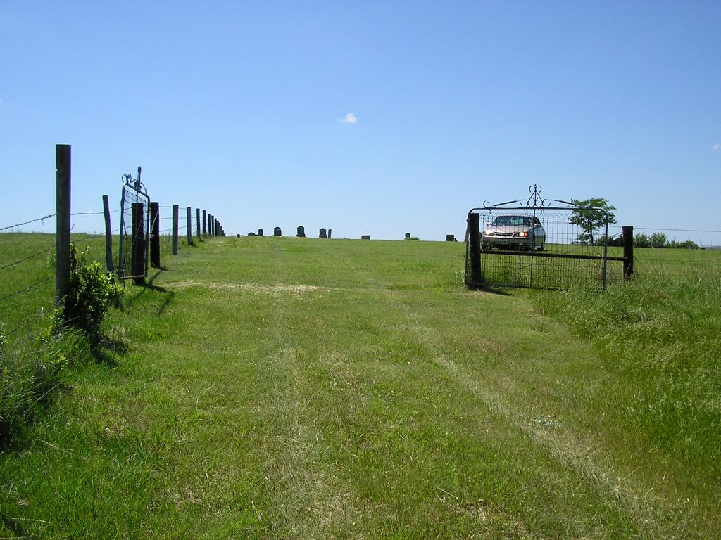
| Description | : | Also known as Archer Cemetery, SE corner of NW 1/4 NE 1/4 Sec 9 Township 5 South, Range 21 West. The land for the cemetery was given by Joseph and Laura Hardick of Effingham, Il. to West Union Cemetery Association on Aug 2, 1911. Access ¼-mile south of Road Z on Road 11 E |
frequently asked questions (FAQ):
-
Where is West Union Cemetery?
West Union Cemetery is located at Densmore, Norton County ,Kansas , 67645USA.
-
West Union Cemetery cemetery's updated grave count on graveviews.com?
2 memorials
-
Where are the coordinates of the West Union Cemetery?
Latitude: 39.6362600
Longitude: -99.6895300
Nearby Cemetories:
1. Densmore Cemetery
Densmore, Norton County, USA
Coordinate: 39.6462240, -99.7404840
2. Mount Calvary Cemetery
Densmore, Norton County, USA
Coordinate: 39.6494293, -99.7398376
3. Button Grave
Densmore, Norton County, USA
Coordinate: 39.6247560, -99.7516670
4. Whitfield Cemetery
Bogue, Graham County, USA
Coordinate: 39.5532990, -99.7050018
5. Coleman Cemetery
Hill City, Graham County, USA
Coordinate: 39.5521200, -99.7016120
6. Prairie Dale Cemetery
Graham County, USA
Coordinate: 39.5616989, -99.6205978
7. Old Logan Cemetery
Logan, Phillips County, USA
Coordinate: 39.6719017, -99.5725021
8. Edmond Cemetery
Edmond, Norton County, USA
Coordinate: 39.6375008, -99.8236008
9. Pleasant View Cemetery
Logan, Phillips County, USA
Coordinate: 39.6735992, -99.5541992
10. Saint Johns Cemetery
Logan, Phillips County, USA
Coordinate: 39.6756900, -99.5536100
11. Buchanan Brown Cemetery
Bogue, Graham County, USA
Coordinate: 39.5250015, -99.6393967
12. Roscoe Cemetery
Graham County, USA
Coordinate: 39.4963989, -99.7694016
13. Modell Cemetery
Norton County, USA
Coordinate: 39.6241989, -99.8889008
14. Mount Olive Cemetery
Norton County, USA
Coordinate: 39.7928009, -99.6694031
15. Saint Peters Evangelical Lutheran Cemetery
Logan, Phillips County, USA
Coordinate: 39.7268000, -99.5210500
16. McFarland Cemetery
Graham County, USA
Coordinate: 39.4658012, -99.6660995
17. Zellmer Cemetery
Norton County, USA
Coordinate: 39.8205986, -99.6449966
18. Belmont Cemetery
Speed, Phillips County, USA
Coordinate: 39.6979103, -99.4566422
19. Fairview Cemetery
Hill City, Graham County, USA
Coordinate: 39.5257030, -99.8912650
20. Slate Cemetery
Rooks County, USA
Coordinate: 39.4879400, -99.5281100
21. Plainview Cemetery
Phillips County, USA
Coordinate: 39.6049995, -99.4385986
22. Prairie View Cemetery
Prairie View, Phillips County, USA
Coordinate: 39.8300018, -99.5811005
23. Bethel Methodist Cemetery
Stuttgart, Phillips County, USA
Coordinate: 39.7523210, -99.4596150
24. Chestnut Cemetery
Phillipsburg, Phillips County, USA
Coordinate: 39.6035700, -99.4171600