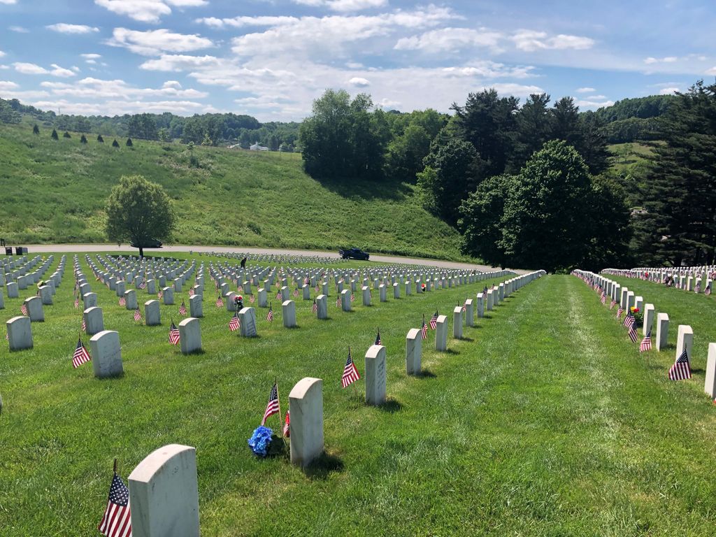
| Memorials | : | 1447 |
| Location | : | Pruntytown, Taylor County, USA |
| Phone | : | (304) 265-2044 |
| Website | : | www.cem.va.gov/CEM/cems/nchp/westvirginia.asp |
| Coordinate | : | 39.3350190, -80.0730590 |
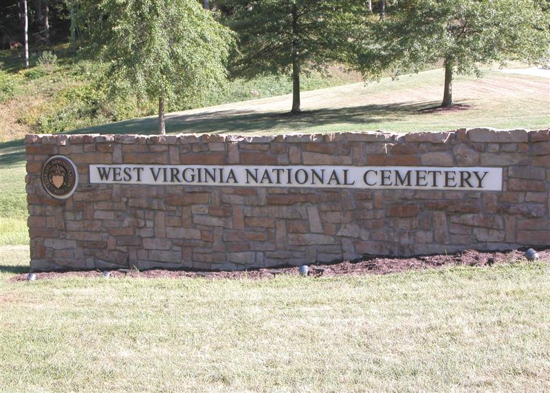
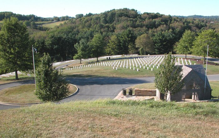
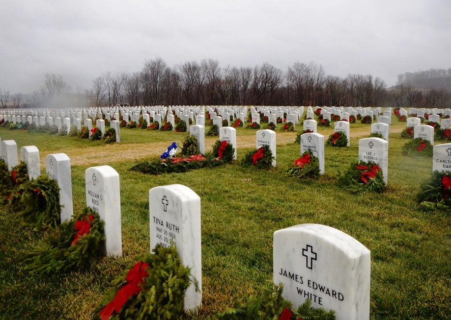
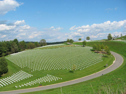
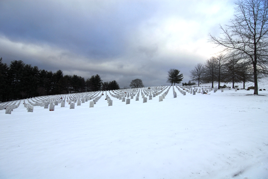
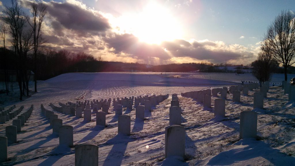
| Description | : | Office Hours: Monday thru Friday 8:00 a.m. to 4:30 p.m. Closed federal holidays except Memorial Day and Veterans Day. Visitation Hours: Open daily from dawn to dusk. West Virginia National Cemetery is located approximately five miles west of Grafton, W.Va., in Taylor County. Beginning in the 1960s, it became increasingly apparent that the Grafton National Cemetery was running out of burial space. As a result, West Virginia veterans’ organizations began lobbying for a second national cemetery. In 1975, after extensive studies to determine whether or not Grafton could be expanded, authorities determined that the grounds were too steep and the cost... Read More |
frequently asked questions (FAQ):
-
Where is West Virginia National Cemetery?
West Virginia National Cemetery is located at 42 Veterans Memorial Lane Pruntytown, Taylor County ,West Virginia , 26354USA.
-
West Virginia National Cemetery cemetery's updated grave count on graveviews.com?
1368 memorials
-
Where are the coordinates of the West Virginia National Cemetery?
Latitude: 39.3350190
Longitude: -80.0730590
Nearby Cemetories:
1. Beulah Cemetery
Pruntytown, Taylor County, USA
Coordinate: 39.3336590, -80.0817140
2. Abram Smith Cemetery
Pruntytown, Taylor County, USA
Coordinate: 39.3314018, -80.0811005
3. Woodsdale Memorial Park
Pruntytown, Taylor County, USA
Coordinate: 39.3408012, -80.0658035
4. Warder Cemetery
Pruntytown, Taylor County, USA
Coordinate: 39.3360670, -80.0549330
5. Keener Cemetery
Grafton, Taylor County, USA
Coordinate: 39.3502370, -80.0503460
6. Wiseman Cemetery
Pruntytown, Taylor County, USA
Coordinate: 39.3602170, -80.0782840
7. Gawthrop Cemetery
Pruntytown, Taylor County, USA
Coordinate: 39.3292360, -80.1095210
8. Grafton National Cemetery
Grafton, Taylor County, USA
Coordinate: 39.3350296, -80.0312500
9. Carder Cemetery
Fetterman, Taylor County, USA
Coordinate: 39.3618760, -80.0409150
10. Old Catholic Cemetery
Taylor County, USA
Coordinate: 39.3445200, -80.0243000
11. Harmony Grove Cemetery
Grafton, Taylor County, USA
Coordinate: 39.3456001, -80.1267014
12. Mount Calvary Catholic Cemetery
Grafton, Taylor County, USA
Coordinate: 39.3492012, -80.0171967
13. Knotts Cemetery
Grafton, Taylor County, USA
Coordinate: 39.3550030, -80.0170860
14. Lantz Ford Cemetery
Grafton, Taylor County, USA
Coordinate: 39.3219370, -80.0132820
15. Bluemont Cemetery
Grafton, Taylor County, USA
Coordinate: 39.3446999, -80.0121994
16. Reese Cemetery
Grafton, Taylor County, USA
Coordinate: 39.3604990, -80.0068620
17. Walnut Grove Cemetery
Webster, Taylor County, USA
Coordinate: 39.2813988, -80.0472031
18. Brown Cemetery
Taylor County, USA
Coordinate: 39.3841630, -80.0295590
19. Coplin Cemetery
Taylor County, USA
Coordinate: 39.3114570, -80.1469800
20. Old Side Cemetery
Taylor County, USA
Coordinate: 39.3116989, -80.1472015
21. Lawler Cemetery
McGee, Taylor County, USA
Coordinate: 39.3845000, -80.1238000
22. Arnold Cemetery
Grafton, Taylor County, USA
Coordinate: 39.2985115, -80.0014712
23. West Hill Cemetery
Taylor County, USA
Coordinate: 39.2782810, -80.0284830
24. Union Baptist Church Cemetery
Simpson, Taylor County, USA
Coordinate: 39.2686005, -80.0919037

