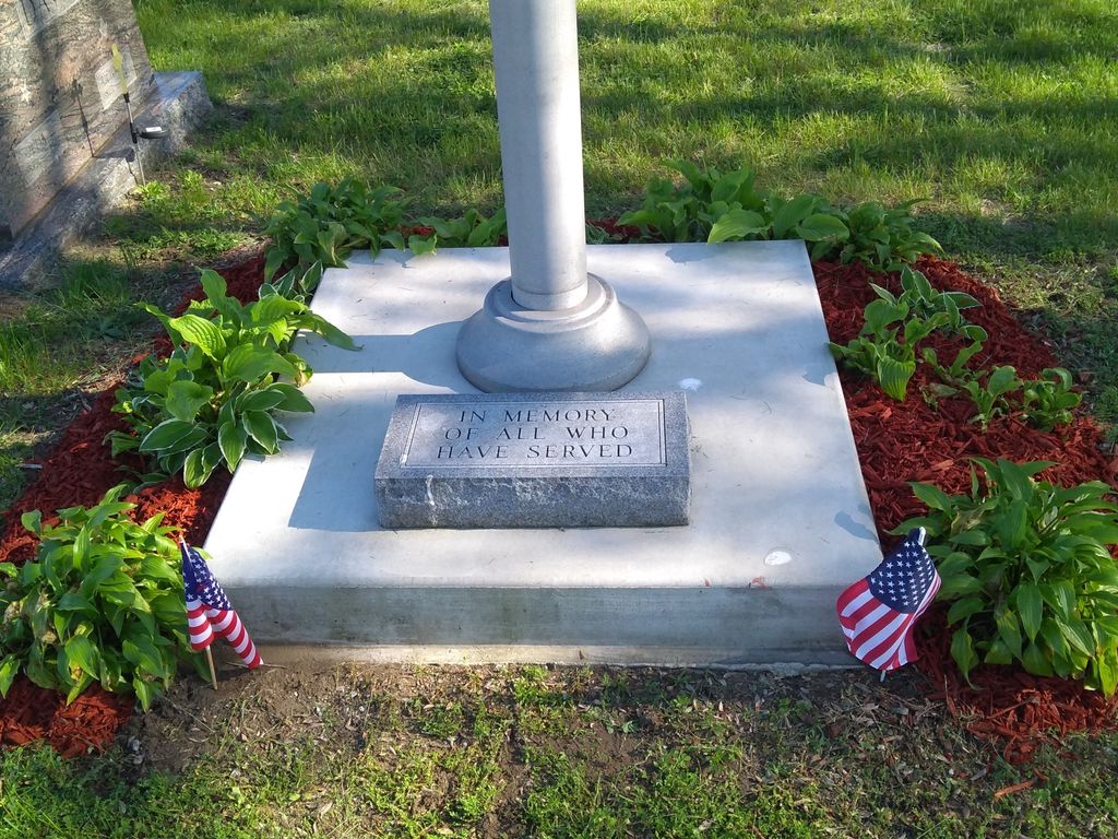
| Memorials | : | 11 |
| Location | : | Wheatfield, Jasper County, USA |
| Coordinate | : | 41.1910019, -87.0462036 |
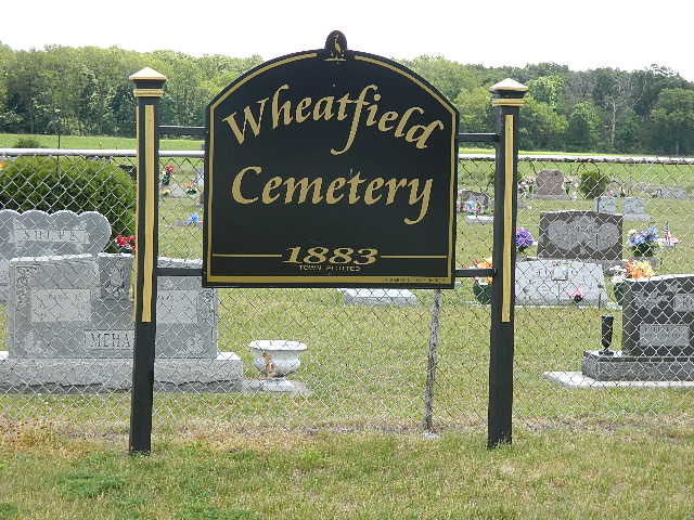
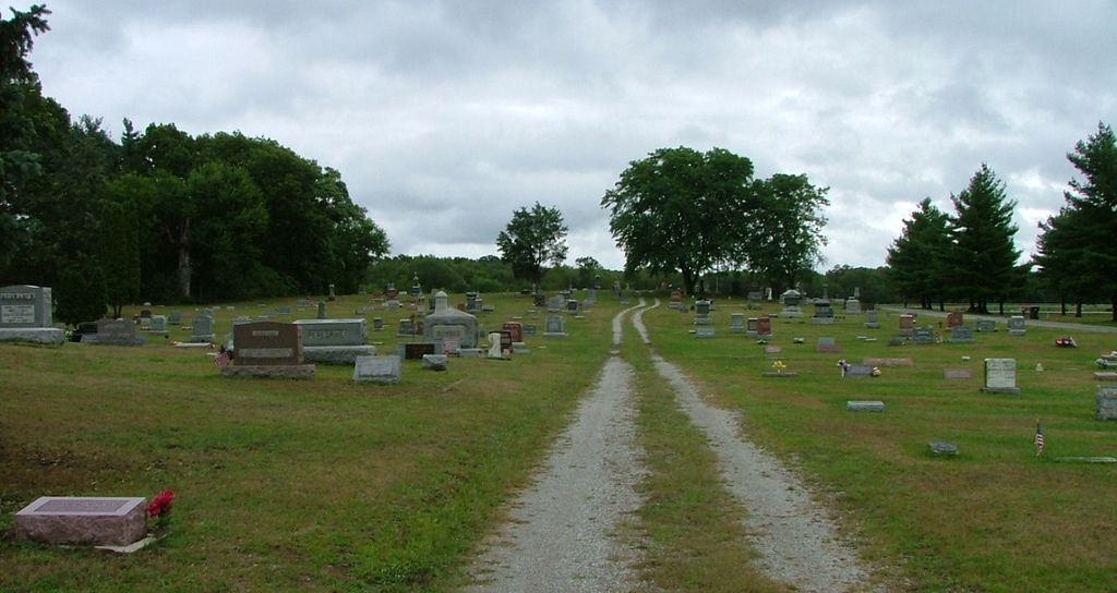
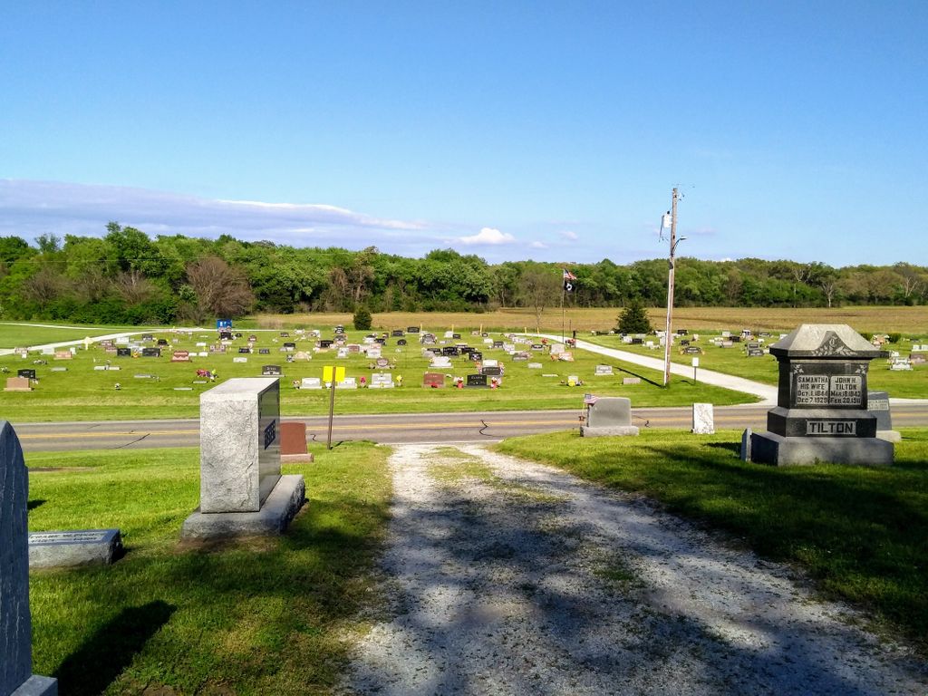
| Description | : | The old section of the cemetery is in Wheatfield Township on the northwest corner of the intersection of Indiana State Highway 49 and E. South Street. The entrance is on E. South Street about 750 feet west of its junction with Indiana State Highway 49. The exit is on Indiana State Highway 49 about 100 feet north of its intersection with E. South Street. The Sorrowful Mother Catholic Cemetery is on the north side adjacent to this cemetery. The new section of the cemetery is on the east side of Indiana State Highway 49 across from the old section in... Read More |
frequently asked questions (FAQ):
-
Where is Wheatfield Cemetery?
Wheatfield Cemetery is located at Indiana State Highway 49 Wheatfield, Jasper County ,Indiana , 46392USA.
-
Wheatfield Cemetery cemetery's updated grave count on graveviews.com?
10 memorials
-
Where are the coordinates of the Wheatfield Cemetery?
Latitude: 41.1910019
Longitude: -87.0462036
Nearby Cemetories:
1. Sorrowful Mother Catholic Cemetery
Wheatfield, Jasper County, USA
Coordinate: 41.1918130, -87.0477340
2. Kankakee Township Cemetery
Jasper County, USA
Coordinate: 41.1892430, -87.0032960
3. Tinkham Cemetery
Wheatfield, Jasper County, USA
Coordinate: 41.1758000, -87.0858000
4. Myers Cemetery
Wheatfield, Jasper County, USA
Coordinate: 41.2241090, -87.0881230
5. McElfresh Cemetery
Wheatfield, Jasper County, USA
Coordinate: 41.1448000, -87.0707000
6. Kniman Cemetery
Kniman, Jasper County, USA
Coordinate: 41.1438120, -87.1133740
7. Hershman Cemetery
Jasper County, USA
Coordinate: 41.1178017, -87.0074997
8. Faith Lutheran Cemetery
Kniman, Jasper County, USA
Coordinate: 41.1297110, -87.1365850
9. Richie Cemetery
Rensselaer, Jasper County, USA
Coordinate: 41.0899980, -87.0359730
10. Oak Grove Primitive Baptist Church Cemetery
Rensselaer, Jasper County, USA
Coordinate: 41.0896759, -87.0355072
11. Evangelical Association Church Cemetery
San Pierre, Starke County, USA
Coordinate: 41.2194500, -86.9155000
12. DeMotte Cemetery
DeMotte, Jasper County, USA
Coordinate: 41.1955986, -87.1844025
13. Cemetery of the Resurrection
DeMotte, Jasper County, USA
Coordinate: 41.1735992, -87.1896973
14. All Saints Cemetery
San Pierre, Starke County, USA
Coordinate: 41.2034080, -86.8908580
15. San Pierre Public Cemetery
San Pierre, Starke County, USA
Coordinate: 41.1997490, -86.8865814
16. Saint Marys Catholic Cemetery
Kouts, Porter County, USA
Coordinate: 41.3182700, -87.0480410
17. Saint Paul Lutheran Cemetery
Kouts, Porter County, USA
Coordinate: 41.3182820, -87.0488300
18. Graceland Township Cemetery
Kouts, Porter County, USA
Coordinate: 41.3183100, -87.0494200
19. Spencer Cemetery
Kouts, Porter County, USA
Coordinate: 41.3199997, -87.0530014
20. Hopewell Mennonite Cemetery
Kouts, Porter County, USA
Coordinate: 41.3205986, -87.0528030
21. Holland Cemetery
DeMotte, Jasper County, USA
Coordinate: 41.1885986, -87.2260971
22. Noggle Cemetery
Medaryville, Pulaski County, USA
Coordinate: 41.1186030, -86.8912820
23. Cornell Cemetery
Hebron, Porter County, USA
Coordinate: 41.3198090, -87.1304870
24. Independence Cemetery
Baileys Corner, Jasper County, USA
Coordinate: 41.0671997, -86.9496994

