
| Memorials | : | 0 |
| Location | : | Springfield, Greene County, USA |
| Coordinate | : | 37.1272011, -93.1216965 |
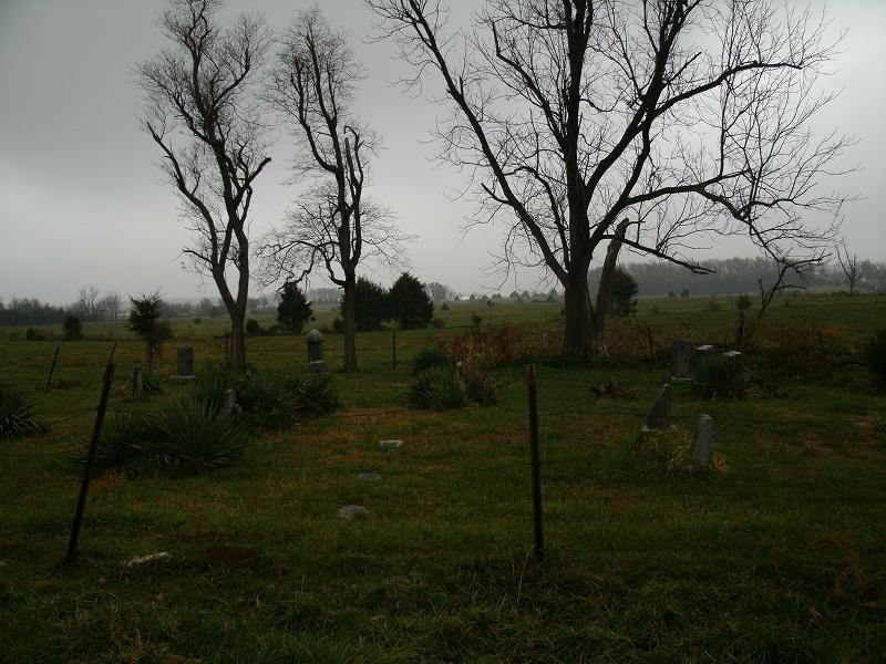
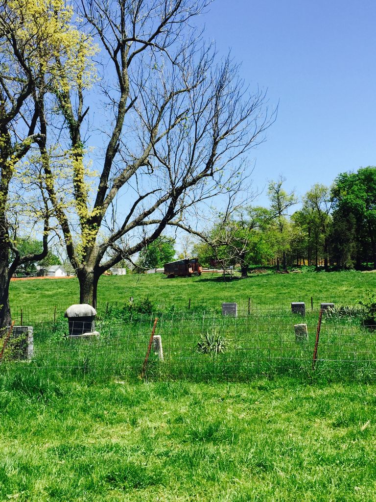
| Description | : | The cemetery has no sign and is located off of Farm Road 174. The cemetery is actully in a cow pasture, it is surrounded by barbed wire fence. To enter from FR 174 there will be a red gate that requires a few miniutes of unwrapping chains to open (that does have some barbed wire, so please be carefull). Then you will need to drive across the field and down a small hill to get to the cemetery. I do not suggest driving down there unless you have 4-Wheel drive to get back out. Once down there you will need... Read More |
frequently asked questions (FAQ):
-
Where is Wilkerson Cemetery?
Wilkerson Cemetery is located at Springfield, Greene County ,Missouri ,USA.
-
Wilkerson Cemetery cemetery's updated grave count on graveviews.com?
0 memorials
-
Where are the coordinates of the Wilkerson Cemetery?
Latitude: 37.1272011
Longitude: -93.1216965
Nearby Cemetories:
1. Holland Cemetery
Greene County, USA
Coordinate: 37.1119003, -93.1177979
2. Hopewell Cemetery
Greene County, USA
Coordinate: 37.1122017, -93.1358032
3. Smith Cemetery
Cody, Greene County, USA
Coordinate: 37.1032982, -93.1288986
4. Palmetto Cemetery
Palmetto, Greene County, USA
Coordinate: 37.1410500, -93.0955700
5. Logan Cemetery
Greene County, USA
Coordinate: 37.1488991, -93.1457977
6. Kelley Chapel Cemetery
Springfield, Greene County, USA
Coordinate: 37.1004060, -93.1020070
7. Holt Cemetery
Greene County, USA
Coordinate: 37.1032982, -93.0958023
8. Smith Burial Ground
Greene County, USA
Coordinate: 37.1150800, -93.1625710
9. Turner Cemetery
Turners, Greene County, USA
Coordinate: 37.0943985, -93.1007996
10. Pembina Cemetery
Pembina, Christian County, USA
Coordinate: 37.0827560, -93.1293030
11. Smith Cemetery
Rogersville, Greene County, USA
Coordinate: 37.1179300, -93.0656000
12. Oak Grove Heights Cemetery
Springfield, Greene County, USA
Coordinate: 37.1746788, -93.1200333
13. Fulton Cemetery
Mentor, Greene County, USA
Coordinate: 37.0923730, -93.1655480
14. Stout-Breedlove Cemetery
Springfield, Greene County, USA
Coordinate: 37.1719100, -93.1639770
15. Dodson Cemetery
Mentor, Greene County, USA
Coordinate: 37.1128998, -93.1911011
16. Kinser-Lee Cemetery
Greene County, USA
Coordinate: 37.1260986, -93.1941986
17. Kershner Cemetery
Greene County, USA
Coordinate: 37.1650009, -93.1875000
18. Roller Cemetery
Pembina, Christian County, USA
Coordinate: 37.0621986, -93.1010971
19. Pursley Cemetery
Turners, Greene County, USA
Coordinate: 37.1819000, -93.1731033
20. McCraw Cemetery
Turners, Greene County, USA
Coordinate: 37.1946983, -93.1352997
21. Galbraith Cemetery
Turners, Greene County, USA
Coordinate: 37.1950660, -93.1350620
22. Smith Family Cemetery
Turners, Greene County, USA
Coordinate: 37.1950360, -93.1355210
23. Mount Zion Cemetery
Ozark, Christian County, USA
Coordinate: 37.0671300, -93.1700790
24. Simpson Cemetery
Springfield, Greene County, USA
Coordinate: 37.1646940, -93.2049180