| Memorials | : | 0 |
| Location | : | Engelmann Township, St. Clair County, USA |
| Coordinate | : | 38.4757996, -89.7617035 |
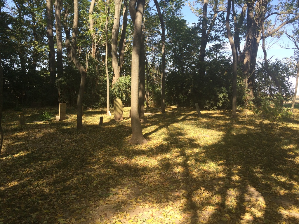
| Description | : | The location of this inactive cemetery is SE 1/4 NE 1/4, Section 4, Engelmann Twp, Highbanks Road. This burial ground is on private property, and the usual courtesies apply: visitors should obtain permission by stopping at the house next to the cemetery. Park along Rayhill Lane, north of the cemetery, and walk from there. Do not drive up the private driveway. Local history says that a farmer pulled up all the stones in the middle 1900's in order to plow. The stones were reset in their present location, slightly north of the original location, where they have remained untouched. The cemetery is... Read More |
frequently asked questions (FAQ):
-
Where is William G. Brown Farm Family Cemetery?
William G. Brown Farm Family Cemetery is located at Engelmann Township, St. Clair County ,Illinois ,USA.
-
William G. Brown Farm Family Cemetery cemetery's updated grave count on graveviews.com?
0 memorials
-
Where are the coordinates of the William G. Brown Farm Family Cemetery?
Latitude: 38.4757996
Longitude: -89.7617035
Nearby Cemetories:
1. Blum Cemetery
Mascoutah, St. Clair County, USA
Coordinate: 38.4855995, -89.7694016
2. Rayhill Cemetery
Mascoutah, St. Clair County, USA
Coordinate: 38.4727550, -89.7434330
3. Bopp Cemetery
Mascoutah, St. Clair County, USA
Coordinate: 38.4646988, -89.7758026
4. Barth Cemetery
Mascoutah, St. Clair County, USA
Coordinate: 38.4639015, -89.7750015
5. Fike Cemetery
Mascoutah, St. Clair County, USA
Coordinate: 38.5097008, -89.7583008
6. Lincoln Lake Cemetery
Mascoutah, St. Clair County, USA
Coordinate: 38.4883003, -89.8035965
7. Andres Cemetery
Mascoutah, St. Clair County, USA
Coordinate: 38.4418983, -89.7774963
8. Schneblin Cemetery
Mascoutah, St. Clair County, USA
Coordinate: 38.4982986, -89.8167038
9. Mascoutah City Cemetery
Mascoutah, St. Clair County, USA
Coordinate: 38.4991989, -89.8208008
10. Holy Childhood of Jesus Cemetery
Mascoutah, St. Clair County, USA
Coordinate: 38.4994011, -89.8218994
11. Home Cemetery (Defunct)
Mascoutah, St. Clair County, USA
Coordinate: 38.5149994, -89.8186035
12. Baehr Burying Ground
New Memphis, Clinton County, USA
Coordinate: 38.4468000, -89.6943000
13. Roth Cemetery
St. Clair County, USA
Coordinate: 38.4322014, -89.8178024
14. Schubkegel Cemetery
St. Clair County, USA
Coordinate: 38.4700012, -89.8414001
15. Fries Cemetery
Freeburg, St. Clair County, USA
Coordinate: 38.4617004, -89.8411026
16. Saint Peter Lutheran Cemetery
New Memphis, Clinton County, USA
Coordinate: 38.4814500, -89.6792500
17. Funk Cemetery
Freeburg, St. Clair County, USA
Coordinate: 38.4500008, -89.8394012
18. Old Holy Childhood of Jesus Cemetery
Mascoutah, St. Clair County, USA
Coordinate: 38.5008011, -89.8399963
19. Lookingglass Township Cemetery
New Memphis, Clinton County, USA
Coordinate: 38.4740530, -89.6765900
20. Harpstrite Cemetery
New Baden, Clinton County, USA
Coordinate: 38.5130997, -89.6908035
21. Funk Cemetery
Freeburg, St. Clair County, USA
Coordinate: 38.4397011, -89.8399963
22. Fries Cemetery
Rentchler, St. Clair County, USA
Coordinate: 38.4854600, -89.8518100
23. Mason Cemetery
Fayetteville, St. Clair County, USA
Coordinate: 38.4192009, -89.8171997
24. Roth Cemetery
St. Clair County, USA
Coordinate: 38.4561005, -89.8535995

