
| Memorials | : | 73 |
| Location | : | Long Green, Baltimore County, USA |
| Coordinate | : | 39.4726000, -76.5219100 |
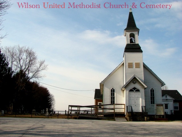
| Description | : | Located on Long Green Road just east of Manor Road. |
frequently asked questions (FAQ):
-
Where is Wilson United Methodist Church Cemetery?
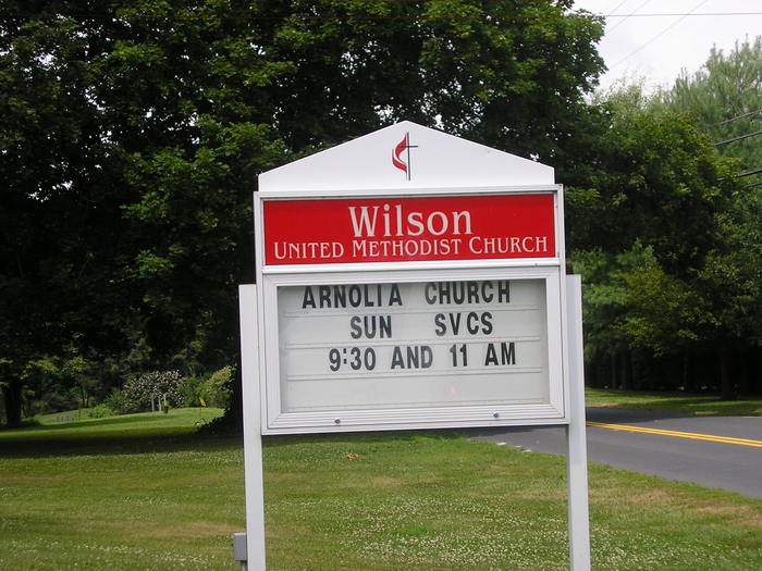
Wilson United Methodist Church Cemetery is located at 4507 Long Green Road Long Green, Baltimore County ,Maryland ,USA.
-
Wilson United Methodist Church Cemetery cemetery's updated grave count on graveviews.com?
73 memorials
-
Where are the coordinates of the Wilson United Methodist Church Cemetery?
Latitude: 39.4726000
Longitude: -76.5219100
Nearby Cemetories:
1. Mount Zion African Methodist Episcopal Cemetery
Glen Arm, Baltimore County, USA
Coordinate: 39.4761870, -76.5230170
2. Long Green Mennonite Cemetery
Long Green, Baltimore County, USA
Coordinate: 39.4752350, -76.5130463
3. Long Green Valley Church of the Brethren Cemetery
Glen Arm, Baltimore County, USA
Coordinate: 39.4716000, -76.5116300
4. Trinity Episcopal Church Cemetery
Glen Arm, Baltimore County, USA
Coordinate: 39.4630480, -76.5284500
5. Peerce Cemetery
Phoenix, Baltimore County, USA
Coordinate: 39.4706497, -76.5447159
6. Saint Johns Lutheran Church Cemetery of Blenheim
Blenheim, Baltimore County, USA
Coordinate: 39.4853300, -76.5419800
7. Villa Maria Cemetery
Glen Arm, Baltimore County, USA
Coordinate: 39.4486084, -76.5197983
8. Saint John the Evangelist Cemetery Old
Hydes, Baltimore County, USA
Coordinate: 39.4999220, -76.5190400
9. Saint John the Evangelist Cemetery
Hydes, Baltimore County, USA
Coordinate: 39.4882800, -76.4751400
10. Waugh Chapel United Methodist Church Cemetery
Glen Arm, Baltimore County, USA
Coordinate: 39.4380000, -76.4897300
11. Saint John's Lutheran Church Cemetery
Sweet Air, Baltimore County, USA
Coordinate: 39.5126300, -76.5418200
12. Chestnut Grove Presbyterian Church Cemetery
Phoenix, Baltimore County, USA
Coordinate: 39.5129600, -76.5501500
13. Fairview United Methodist Church Cemetery
Phoenix, Baltimore County, USA
Coordinate: 39.5070100, -76.5685600
14. Saint Demetrios Cemetery
Cub Hill, Baltimore County, USA
Coordinate: 39.4226500, -76.5260200
15. Merryman Family Cemetery
Loch Raven, Baltimore County, USA
Coordinate: 39.4760000, -76.5880000
16. Chestnut Grove Annex Cemetery
Jacksonville, Baltimore County, USA
Coordinate: 39.5215200, -76.5593000
17. Fork United Methodist Church Cemetery
Fork, Baltimore County, USA
Coordinate: 39.4736600, -76.4479600
18. Long Crandon Cemetery
Timonium, Baltimore County, USA
Coordinate: 39.4532980, -76.5967770
19. Providence United Methodist Church Cemetery
Hampton, Baltimore County, USA
Coordinate: 39.4215200, -76.5669600
20. Fork Christian Church Cemetery
Kingsville, Baltimore County, USA
Coordinate: 39.4663200, -76.4393900
21. Rocky Rest Cemetery
Perry Hall, Baltimore County, USA
Coordinate: 39.4145167, -76.4853139
22. Upper Crossroads Church Cemetery
Fallston, Harford County, USA
Coordinate: 39.5341988, -76.4906006
23. Ridgely and Talbott Family Cemetery
Baltimore County, USA
Coordinate: 39.4701960, -76.6116200
24. Poplar Grove United Methodist Church Cemetery
Phoenix, Baltimore County, USA
Coordinate: 39.4975200, -76.6097900