
| Memorials | : | 8 |
| Location | : | Wilton, Franklin County, USA |
| Coordinate | : | 44.5936000, -70.2307460 |
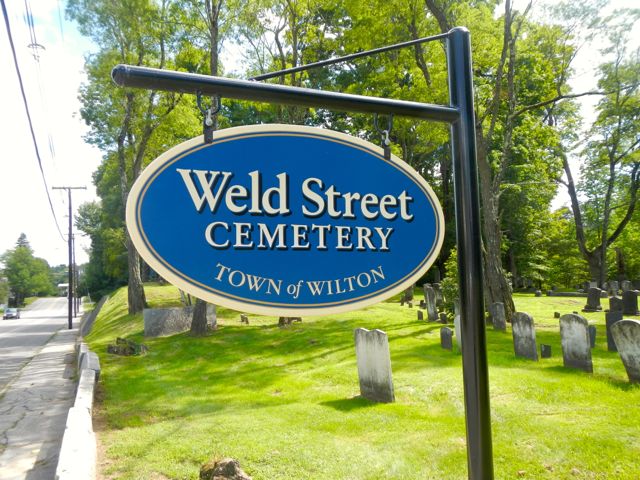
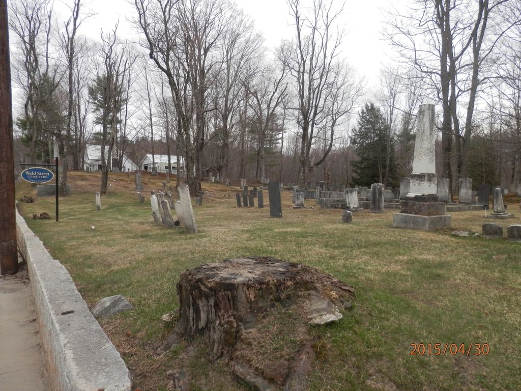
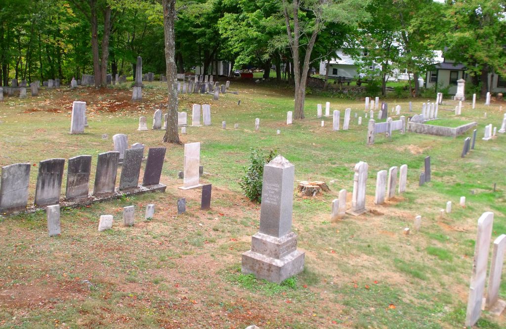
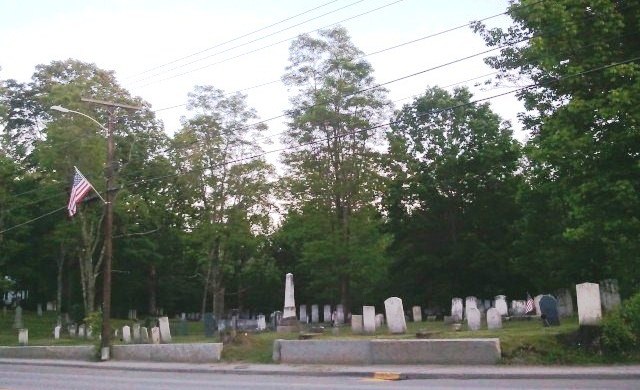
| Description | : | Old Town Cemetery is located east of Wilson Pond. It is on the west side of Weld Road (State Hwy 156). Follow Weld Road northwest from Main Street in Wilton for less than 1/4 mile. This is the cemetery named "Weld Road Cemetery, Wilton, Franklin Co, Maine " in the MOCA Inscription Project, Series One (Augusta, Maine: Maine Old Cemetery Association, 1980). Not to be confused with two other MOCA listed Weld Road Cemeteries located at Phillips, Franklin County, Maine. |
frequently asked questions (FAQ):
-
Where is Wilton Old Town Cemetery?
Wilton Old Town Cemetery is located at Wilton, Franklin County ,Maine ,USA.
-
Wilton Old Town Cemetery cemetery's updated grave count on graveviews.com?
8 memorials
-
Where are the coordinates of the Wilton Old Town Cemetery?
Latitude: 44.5936000
Longitude: -70.2307460
Nearby Cemetories:
1. Academy Hill Cemetery
Wilton, Franklin County, USA
Coordinate: 44.5930000, -70.2269700
2. Lakeview Cemetery
Wilton, Franklin County, USA
Coordinate: 44.5861015, -70.2438965
3. East Wilton Cemetery
Wilton, Franklin County, USA
Coordinate: 44.6124700, -70.1878800
4. Adams Cemetery
Wilton, Franklin County, USA
Coordinate: 44.6192017, -70.2724991
5. Beans Corner Cemetery
Franklin County, USA
Coordinate: 44.5785800, -70.1788200
6. Birchland Cemetery
North Jay, Franklin County, USA
Coordinate: 44.5564003, -70.2585983
7. North Jay Cemetery
Franklin County, USA
Coordinate: 44.5504200, -70.2416900
8. Dan Knowles Cemetery
Wilton, Franklin County, USA
Coordinate: 44.6446000, -70.2530000
9. East Dixfield Cemetery
Wilton, Franklin County, USA
Coordinate: 44.5751400, -70.3066800
10. Red Schoolhouse Cemetery
Franklin County, USA
Coordinate: 44.6314011, -70.1600037
11. Tobin Flat Cemetery
Wilton, Franklin County, USA
Coordinate: 44.6105050, -70.3193940
12. Borough Cemetery
Franklin County, USA
Coordinate: 44.5628014, -70.1391983
13. Severy Hill Cemetery
Dixfield, Oxford County, USA
Coordinate: 44.5550003, -70.3182983
14. Science Hill Cemetery
Dixfield, Oxford County, USA
Coordinate: 44.5671997, -70.3283005
15. Deane Cemetery
Temple, Franklin County, USA
Coordinate: 44.6651700, -70.2621100
16. Webster Cemetery
Franklin County, USA
Coordinate: 44.5924988, -70.1241989
17. Orchard Hill Cemetery
Temple, Franklin County, USA
Coordinate: 44.6713680, -70.2318424
18. Russell Mills Cemetery
Farmington, Franklin County, USA
Coordinate: 44.6695862, -70.1945016
19. Butterfield Cemetery
Farmington, Franklin County, USA
Coordinate: 44.6520700, -70.1511140
20. Jay Hill Cemetery
Jay, Franklin County, USA
Coordinate: 44.5093994, -70.2219009
21. Zions Hill Cemetery
North Chesterville, Franklin County, USA
Coordinate: 44.5918999, -70.1085968
22. Old Burying Ground
Farmington, Franklin County, USA
Coordinate: 44.6638660, -70.1567270
23. Temple Village Cemetery
Temple, Franklin County, USA
Coordinate: 44.6831017, -70.2210999
24. Riverside Cemetery
Farmington, Franklin County, USA
Coordinate: 44.6587900, -70.1432600