| Memorials | : | 0 |
| Location | : | Carbondale, Jackson County, USA |
| Coordinate | : | 37.7109930, -89.2648060 |
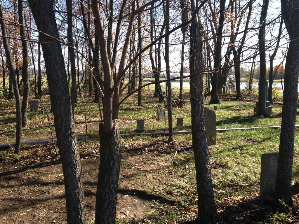
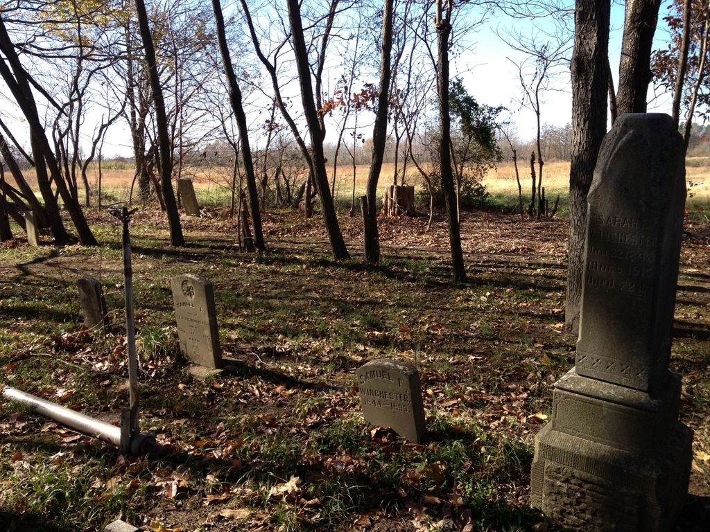
| Description | : | There are two cemeteries in Jackson County known as "Winchester". They are usually referred to as "Winchester East" and "Winchester West" (occasionally this one is called Winchester Southwest). Winchester West cemetery is located within a restricted access agricultural research area at Southern Illinois University. It is located in a wooded grove and cannot be seen from the road. Winchester East is located at the SIU Equine Center on Union Hill Road and it's gravestones are open to visitation. Winchester West is the larger cemetery with several dozen burials. If you see "Winchester Cemetery" as the place of burial, it is... Read More |
frequently asked questions (FAQ):
-
Where is Winchester West Cemetery?
Winchester West Cemetery is located at Rowden Road (County Road 13) Carbondale, Jackson County ,Illinois , 62903USA.
-
Winchester West Cemetery cemetery's updated grave count on graveviews.com?
0 memorials
-
Where are the coordinates of the Winchester West Cemetery?
Latitude: 37.7109930
Longitude: -89.2648060
Nearby Cemetories:
1. Jackson County Poor Farm Cemetery
Carbondale, Jackson County, USA
Coordinate: 37.7093020, -89.2545420
2. Hiller-Crab Orchard Cemetery
Carbondale, Jackson County, USA
Coordinate: 37.7015800, -89.2818400
3. Mount Pleasant Memorial Cemetery
Murphysboro, Jackson County, USA
Coordinate: 37.7246600, -89.2814300
4. Winchester East Cemetery
Carbondale, Jackson County, USA
Coordinate: 37.6922726, -89.2470291
5. Pleasant Grove Memorial Park
Murphysboro, Jackson County, USA
Coordinate: 37.7372017, -89.2850037
6. Hall Cemetery
Jackson County, USA
Coordinate: 37.7425003, -89.2807999
7. Union Hill Cemetery
Jackson County, USA
Coordinate: 37.6753212, -89.2606352
8. Oakland Cemetery
Carbondale, Jackson County, USA
Coordinate: 37.7388992, -89.2292023
9. Woodlawn Cemetery
Carbondale, Jackson County, USA
Coordinate: 37.7271100, -89.2108700
10. Etherton Cemetery
Etherton, Jackson County, USA
Coordinate: 37.6810989, -89.3139038
11. Lipe Cemetery
Makanda, Jackson County, USA
Coordinate: 37.6588700, -89.2595700
12. Snider Hill Cemetery
Carbondale, Jackson County, USA
Coordinate: 37.7153015, -89.1988983
13. Murdale Gardens of Memory
Murphysboro, Jackson County, USA
Coordinate: 37.7641983, -89.2827988
14. Stearns Cemetery
Makanda, Jackson County, USA
Coordinate: 37.6556060, -89.2470290
15. Bowyer Cemetery
Carbondale, Jackson County, USA
Coordinate: 37.7059270, -89.1921200
16. Mount Carbon Cemetery
Murphysboro, Jackson County, USA
Coordinate: 37.7468000, -89.3230400
17. Boskydell Cemetery
Carbondale, Jackson County, USA
Coordinate: 37.6726400, -89.2085000
18. Dillinger Cemetery
Carbondale, Jackson County, USA
Coordinate: 37.7668991, -89.2266998
19. Bostick Cemetery
Jackson County, USA
Coordinate: 37.6939011, -89.3431015
20. Hilton Cemetery
Makanda, Jackson County, USA
Coordinate: 37.6418660, -89.2375110
21. Poplar Ridge Cemetery
Jackson County, USA
Coordinate: 37.7005500, -89.3648500
22. Murphysboro City Cemetery
Murphysboro, Jackson County, USA
Coordinate: 37.7698330, -89.3378590
23. Holliday Farm Cemetery
Murphysboro, Jackson County, USA
Coordinate: 37.7902870, -89.2951126
24. North County Line Cemetery
Carbondale, Jackson County, USA
Coordinate: 37.7338300, -89.1525200


