
| Memorials | : | 0 |
| Location | : | Denton County, USA |
| Coordinate | : | 33.0404750, -97.2292060 |
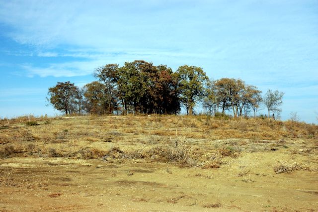
| Description | : | The Wolfe-Foster Cemetery, also known as the Cleveland Cemetery is located about four miles northwest of Roanoke in Denton County, Texas on the north banks of Denton Creek. It is now in an area considered the upper basin of Grapevine Reservoir. It is on land owned by Mrs. Gloria Slaughter Hammack of Dallas, Texas, and can be found by going north from Ft Worth on I35W, right on FM 1171, then right on Gibbs Road and through the grounds of the North Texas Air Port, and on to the gravel pit of Austin Bridge Company. A Mr Josiah Wolfe, and his... Read More |
frequently asked questions (FAQ):
-
Where is Wolfe-Foster Cemetery?
Wolfe-Foster Cemetery is located at Denton County ,Texas ,USA.
-
Wolfe-Foster Cemetery cemetery's updated grave count on graveviews.com?
0 memorials
-
Where are the coordinates of the Wolfe-Foster Cemetery?
Latitude: 33.0404750
Longitude: -97.2292060

Nearby Cemetories:
1. Kelsay Cemetery
Roanoke, Denton County, USA
Coordinate: 33.0172720, -97.2351480
2. Dunham Wood Cemetery
Argyle, Denton County, USA
Coordinate: 33.0448952, -97.1929321
3. Elizabeth Cemetery
Roanoke, Denton County, USA
Coordinate: 33.0155983, -97.2714005
4. IOOF Westlake Cemetery
Westlake, Denton County, USA
Coordinate: 32.9903050, -97.2122840
5. Medlin Cemetery
Trophy Club, Denton County, USA
Coordinate: 32.9981003, -97.1885986
6. Graham-Nelson Cemetery
Argyle, Denton County, USA
Coordinate: 33.0872833, -97.1895694
7. Justin Cemetery
Justin, Denton County, USA
Coordinate: 33.0765830, -97.2929540
8. Prairie Mound Cemetery
Argyle, Denton County, USA
Coordinate: 33.1085014, -97.2259979
9. Jeter Family Cemetery
Argyle, Denton County, USA
Coordinate: 33.0900002, -97.1604538
10. Shiloh Cemetery
Flower Mound, Denton County, USA
Coordinate: 33.0475998, -97.1320038
11. Foster Family Cemetery
Argyle, Denton County, USA
Coordinate: 33.1041520, -97.1548470
12. Graham-Argyle Cemetery
Argyle, Denton County, USA
Coordinate: 33.1305008, -97.1771545
13. Bishop Mason Mausoleum and Columbarium
Flower Mound, Denton County, USA
Coordinate: 33.0218750, -97.1046580
14. Eakins Cemetery
Ponder, Denton County, USA
Coordinate: 33.1391983, -97.3181000
15. Rogers Cemetery
Denton County, USA
Coordinate: 33.1334400, -97.1274200
16. Chinns Chapel Cemetery
Copper Canyon, Denton County, USA
Coordinate: 33.0856018, -97.0860977
17. Boone Family Cemetery
Denton, Denton County, USA
Coordinate: 33.1547400, -97.1425100
18. Old Alton Cemetery
Denton, Denton County, USA
Coordinate: 33.1351013, -97.1057968
19. Sams-Burnett-Mennerly Cemetery
Drop, Denton County, USA
Coordinate: 33.1479810, -97.3410600
20. Flower Mound Cemetery
Flower Mound, Denton County, USA
Coordinate: 33.0130806, -97.0527115
21. Roselawn Memorial Park
Denton, Denton County, USA
Coordinate: 33.1808014, -97.1568985
22. St. Philip the Apostle Catholic Church Columbarium
Lewisville, Denton County, USA
Coordinate: 33.0430330, -97.0437810
23. Hall Family Farm Cemetery
Ponder, Denton County, USA
Coordinate: 33.2009000, -97.2320900
24. McCombs Cemetery
Flower Mound, Denton County, USA
Coordinate: 33.0286110, -97.0372220