
| Memorials | : | 120 |
| Location | : | Leslie, Ingham County, USA |
| Coordinate | : | 42.4570274, -84.4298935 |
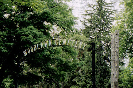
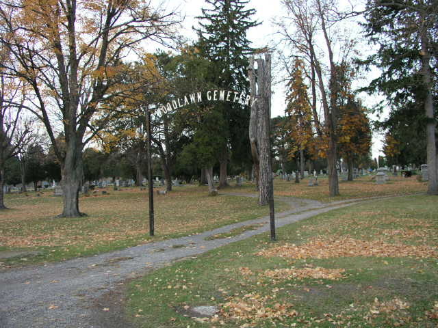
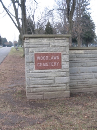
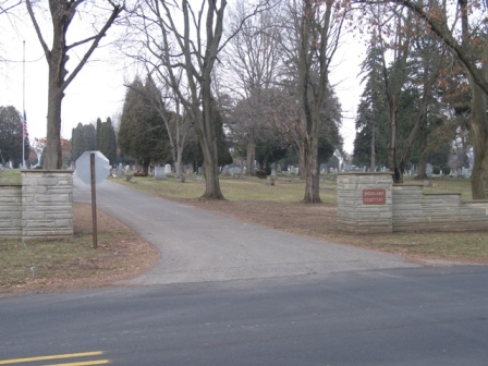
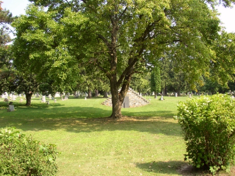
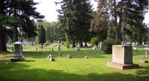
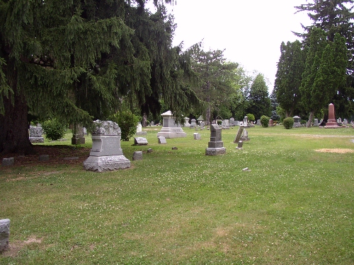
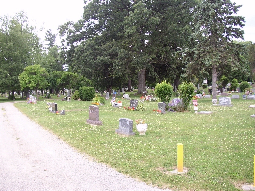
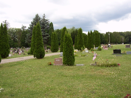
| Description | : | Cemetery is located in Section 21, at the intersection of N. Church and Adams Street, Leslie Township. Bellevue Streets runs east/west thru Leslie. N. Church Street is off of E. Bellevue Street near downtown Leslie. Take N. Church Street north and it will dead end at the cemetery on Adams Street. Woodlawn Cemetery originally was two cemeteries, one city owned and one township owned. When the city and township merged they combined the cemetery into the one large cemetery that it is today. Death certificates might've said "Leslie" on them and perhaps that was the name of one... Read More |
frequently asked questions (FAQ):
-
Where is Woodlawn Cemetery?
Woodlawn Cemetery is located at Leslie, Ingham County ,Michigan ,USA.
-
Woodlawn Cemetery cemetery's updated grave count on graveviews.com?
117 memorials
-
Where are the coordinates of the Woodlawn Cemetery?
Latitude: 42.4570274
Longitude: -84.4298935


Nearby Cemetories:
1. Walker Cemetery
Rives Junction, Jackson County, USA
Coordinate: 42.4218712, -84.4820557
2. Felt Plains Cemetery
Leslie, Ingham County, USA
Coordinate: 42.4874992, -84.3585968
3. Eden Cemetery
Mason, Ingham County, USA
Coordinate: 42.5210991, -84.4191971
4. Rives Township Memorial Cemetery
Rives Junction, Jackson County, USA
Coordinate: 42.3993660, -84.4731100
5. Rolfe Cemetery
Mason, Ingham County, USA
Coordinate: 42.5243988, -84.4569016
6. East Rives Cemetery
Rives Junction, Jackson County, USA
Coordinate: 42.3863700, -84.3935700
7. Dormition Orthodox Monastery Cemetery
Rives Junction, Jackson County, USA
Coordinate: 42.3834290, -84.4535620
8. Lane Cemetery
Onondaga, Ingham County, USA
Coordinate: 42.4505600, -84.5358300
9. Nims Cemetery
Henrietta Township, Jackson County, USA
Coordinate: 42.4169006, -84.3343964
10. Cole Cemetery
Rives Junction, Jackson County, USA
Coordinate: 42.3741989, -84.4282990
11. Bunker Hill Cemetery
Bunker Hill, Ingham County, USA
Coordinate: 42.4722870, -84.3172250
12. Greenwood Cemetery
Aurelius, Ingham County, USA
Coordinate: 42.5138893, -84.5233307
13. Stewart Cemetery (Defunct)
Tompkins, Jackson County, USA
Coordinate: 42.3944321, -84.5210876
14. Saints Cornelius and Cyprian Parish Cemetery
Leslie, Ingham County, USA
Coordinate: 42.4901009, -84.3065033
15. Fitchburg Cemetery
Stockbridge, Ingham County, USA
Coordinate: 42.4389000, -84.3007965
16. Hawley Cemetery
Mason, Ingham County, USA
Coordinate: 42.5508003, -84.3792038
17. Onondaga Cemetery
Onondaga, Ingham County, USA
Coordinate: 42.4445877, -84.5699387
18. Draper Cemetery
Rives Junction, Jackson County, USA
Coordinate: 42.3532982, -84.4625015
19. Jones Cemetery
Jackson, Jackson County, USA
Coordinate: 42.3452988, -84.4156036
20. Tompkins Cemetery
Tompkins, Jackson County, USA
Coordinate: 42.3758316, -84.5508347
21. Howard Cemetery
Dansville, Ingham County, USA
Coordinate: 42.5363998, -84.3031006
22. First United Methodist Church of Mason Columbarium
Mason, Ingham County, USA
Coordinate: 42.5796620, -84.4414330
23. Kinch Cemetery
Henrietta Township, Jackson County, USA
Coordinate: 42.3657990, -84.3116989
24. Maple Grove Cemetery
Mason, Ingham County, USA
Coordinate: 42.5856018, -84.4458008