| Memorials | : | 5 |
| Location | : | Yorkville, Mendocino County, USA |
| Coordinate | : | 38.9135500, -123.2744300 |
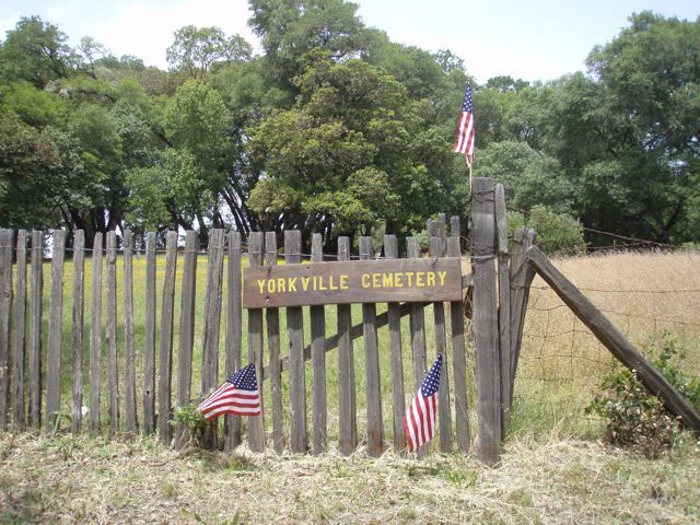
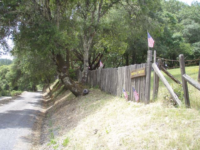
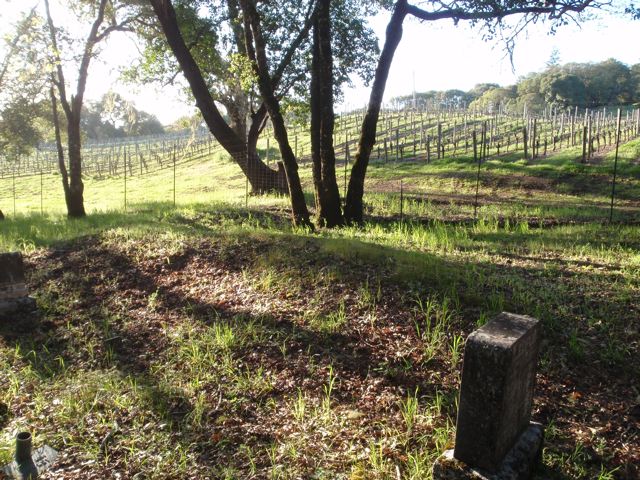
| Description | : | Hwy 128 Milepost Marker: 37.82 This cemetery is located directly off Highway 128. Parking is available at the bottom of the driveway, although there is room for one car in front of the gate if easier access is needed. The early Yorkville pioneers are here. Also there are reported to be some Native Americans of the Yorkville area Ma-cum-muk Pomo tribe: Chief Commancha and his son Mol-ik-y as well as Small Bone and his son. The settlers from the 1860's on are represented by members of the Burger, Elkins, Ledford, Lowrey, Nobles, and York families. |
frequently asked questions (FAQ):
-
Where is Yorkville Cemetery?
Yorkville Cemetery is located at Yorkville, Mendocino County ,California ,USA.
-
Yorkville Cemetery cemetery's updated grave count on graveviews.com?
5 memorials
-
Where are the coordinates of the Yorkville Cemetery?
Latitude: 38.9135500
Longitude: -123.2744300
Nearby Cemetories:
1. Ornbaun Springs Cemetery
Old Ornbaun Hot Springs, Mendocino County, USA
Coordinate: 38.9155960, -123.3081460
2. Ingram Family Cemetery
Yorkville, Mendocino County, USA
Coordinate: 38.8880970, -123.1698550
3. Rawles-Babcock Cemetery
Boonville, Mendocino County, USA
Coordinate: 39.0032980, -123.2308050
4. Evergreen Cemetery
Boonville, Mendocino County, USA
Coordinate: 39.0251770, -123.3816757
5. McNab Ranch Cemetery
Mendocino County, USA
Coordinate: 39.0382400, -123.1881700
6. Hopland Cemetery
Hopland, Mendocino County, USA
Coordinate: 38.9666634, -123.1000595
7. Hamburg Cemetery
Ukiah, Mendocino County, USA
Coordinate: 39.0961400, -123.2132900
8. Hopland Rancheria Cemetery
Hopland, Mendocino County, USA
Coordinate: 38.9841820, -123.0494610
9. Ruddock Cemetery
Philo, Mendocino County, USA
Coordinate: 39.0584566, -123.4306688
10. Yokayo Rancheria Cemetery
Talmage, Mendocino County, USA
Coordinate: 39.0894200, -123.1544200
11. Annapolis Church Cemetery
Annapolis, Sonoma County, USA
Coordinate: 38.7184830, -123.3455887
12. Preston Cemetery
Cloverdale, Sonoma County, USA
Coordinate: 38.8492800, -123.0158200
13. Buckeye Creek Cemetery
Annapolis, Sonoma County, USA
Coordinate: 38.7318300, -123.4303300
14. Gualala Cemetery
Gualala, Mendocino County, USA
Coordinate: 38.7739983, -123.5029984
15. Shields-Studebaker Cemetery
Mendocino County, USA
Coordinate: 39.0877991, -123.4693985
16. Cloverdale Cemetery
Cloverdale, Sonoma County, USA
Coordinate: 38.8082008, -123.0103989
17. Grace La Vala Burial Site
Annapolis, Sonoma County, USA
Coordinate: 38.7000035, -123.4138760
18. Knipp and Stengel Cemetery
Sea Ranch, Sonoma County, USA
Coordinate: 38.7148380, -123.4512770
19. Cloverdale Rancheria Cemetery
Cloverdale, Sonoma County, USA
Coordinate: 38.7888800, -123.0052300
20. Baker Gravesite
Gualala, Mendocino County, USA
Coordinate: 38.7719150, -123.5351120
21. Evergreen Memorial Gardens
Ukiah, Mendocino County, USA
Coordinate: 39.1591270, -123.2103850
22. Ukiah Cemetery
Ukiah, Mendocino County, USA
Coordinate: 39.1619606, -123.2187805
23. Bourn Cemetery
Gualala, Mendocino County, USA
Coordinate: 38.7860300, -123.5545300
24. Haupt Ranch Cemetery
Stewarts Point, Sonoma County, USA
Coordinate: 38.6582400, -123.3045400


