
| Memorials | : | 0 |
| Location | : | Georgetown, Monongalia County, USA |
| Coordinate | : | 39.6060650, -80.0903460 |
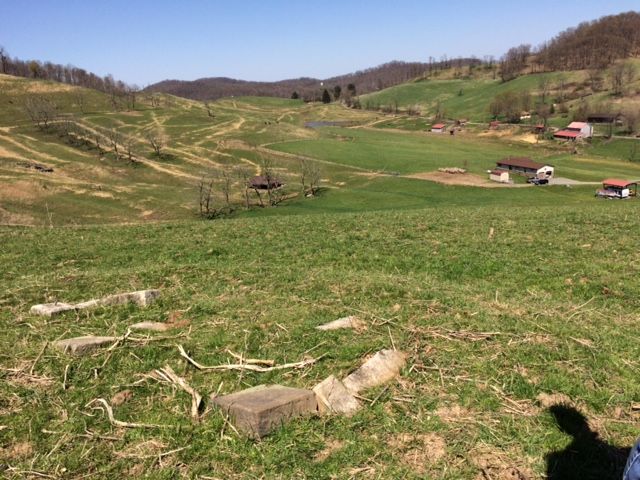
| Description | : | Located in the Grant District. Directions: Take Route 19 to Route 26/2 near Little Indian Creek (Cold Spring). This cemetery is near Georgetown near the beginning of Cool Springs Road near Route 19 on the original John and Catherine Snook Yost property on Indian Creek. It is on private property, cannot be seen from the road and all stones are down. While some earlier records list the graves in Cemetery 1 and Cemetery 2 on the same page under the same heading of Yost/Youst Cemetery, that record included a notation that the graves in Cemetery #1 were "pasture field... Read More |
frequently asked questions (FAQ):
-
Where is Yost Cemetery #01?
Yost Cemetery #01 is located at Georgetown, Monongalia County ,West Virginia ,USA.
-
Yost Cemetery #01 cemetery's updated grave count on graveviews.com?
0 memorials
-
Where are the coordinates of the Yost Cemetery #01?
Latitude: 39.6060650
Longitude: -80.0903460
Nearby Cemetories:
1. Barker Cemetery #1
Georgetown, Monongalia County, USA
Coordinate: 39.6003560, -80.0746140
2. Stewart-Michael Cemetery
Arnettsville, Monongalia County, USA
Coordinate: 39.6147130, -80.1100430
3. Arnettsville Cemetery
Arnettsville, Monongalia County, USA
Coordinate: 39.5823000, -80.0951000
4. Thorn Cemetery
Georgetown, Monongalia County, USA
Coordinate: 39.6039886, -80.0579681
5. Snider Cemetery
Laurel Point, Monongalia County, USA
Coordinate: 39.6274986, -80.0661011
6. Fox Cemetery
Monongalia County, USA
Coordinate: 39.6269989, -80.0635986
7. Hagans Cemetery
Monongalia County, USA
Coordinate: 39.6244011, -80.1294022
8. Brand Cemetery
Monongalia County, USA
Coordinate: 39.6272011, -80.0503006
9. Lough Cemetery
Monongalia County, USA
Coordinate: 39.6425020, -80.0659240
10. Mooris Cemetery
Monongalia County, USA
Coordinate: 39.6455994, -80.1082993
11. Dents Run Cemetery
Monongalia County, USA
Coordinate: 39.6311111, -80.0411072
12. Laurel Flat Cemetery
Everettville, Monongalia County, USA
Coordinate: 39.5628510, -80.0676130
13. Mount Hood Cemetery
Everettville, Monongalia County, USA
Coordinate: 39.5635270, -80.0636940
14. Laurel Point United Methodist Church Cemetery
Laurel Point, Monongalia County, USA
Coordinate: 39.6187900, -80.0296080
15. Hood Cemetery
Marion County, USA
Coordinate: 39.5691986, -80.1380997
16. Ramsey Cemetery
Cassville, Monongalia County, USA
Coordinate: 39.6588140, -80.0638400
17. Grubb Cemetery
Hoodsville, Marion County, USA
Coordinate: 39.5904770, -80.1611210
18. Morris Cemetery
Baxter, Marion County, USA
Coordinate: 39.5750390, -80.1540080
19. Hoodsville Cemetery
Marion County, USA
Coordinate: 39.5741997, -80.1536026
20. Tennant Cemetery
Hoodsville, Marion County, USA
Coordinate: 39.5827300, -80.1604700
21. Fleming Cemetery
Cassville, Monongalia County, USA
Coordinate: 39.6624985, -80.0671997
22. McCurdysville Cemetery
McCurdyville, Monongalia County, USA
Coordinate: 39.6144409, -80.1702805
23. Lemasters & Tennant Cemetery
Marion County, USA
Coordinate: 39.5948900, -80.1709300
24. Eddy Chapel Cemetery
Monongalia County, USA
Coordinate: 39.6439018, -80.1564026